
-
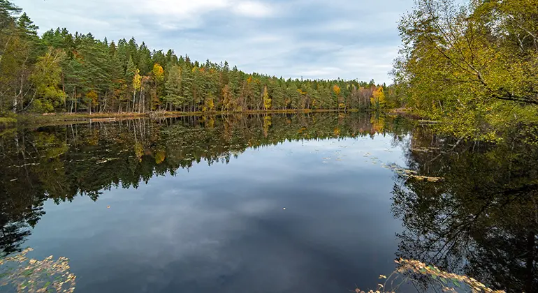
Foto: Robert Ekholm -
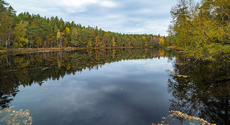
Foto: Robert Ekholm
Vantakalleberget, Naturreservat
- Naturreservat
- Fylke: Blekinge län
Handlinger
Beskrivelse
Aktiviteter og fasiliteter
- Naturreservat
Fakta
Year of protection: 1980
Municipality: Ronneby
Character: Coniferous forest, lake, bird protection area
Area: 70 hectares, of which 39 hectares are land and 31 hectares water
Landowner: Private
Manager: Blekinge County Administrative Board
Type of protection: Nature reserve and Natura 2000
Veibeskrivelse
Vantakalleberget is located just over a mile north-northeast of Kallinge, one kilometer north of Tolseboda. The Blekingeleden trail passes just south of the reserve, which can also be reached from the neighboring Gröngölsmåla nature reserve, from the north. This requires a hike of about 2 kilometers.
Forskrifter
You are welcome to visit Vantakalleberget, but please note that it is not allowed to
- During the period March 1 - July 15, travel or stay within the land and water area with a trespassing ban
- dig or otherwise damage solid natural objects or surface formations, for example by knocking down mooring rings
- digging up plants
- damage living or dead trees or shrubs
- removing lichen, brambles and moss
- causing undue damage to wildlife, for example by taking close-up photographs
- bringing an unleashed dog
- driving motorized vehicles other than on designated roads
- pitching a tent or caravan
- making a fire
- use a radio, gramophone, tape recorder or similar in a disruptive manner
- affixing a board, placard, poster, sign, inscription or similar device.
You are also not allowed to collect beetles and butterflies without permission from the county administrative board.
Kontakt
E-postadresse
Länsstyrelsen Blekinge
Organisasjonens logotype
Jeg har vært her 1

Jeg ønsker å dra hit 2
Spørsmål og svar
Still et spørsmål til andre brukere av Naturkartan.
Omtaler
0 anmeldelser
- 5 :
- 4 :
- 3 :
- 2 :
- 1 :
Brukernes bilder
Ingen brukerbilder ennå. Bli den første til å dele!
