
-
-
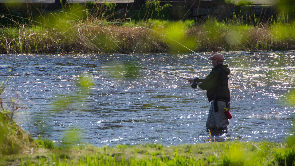
Foto: Robert Ekholm -
-
-
-
-
-
-
-
-
-
Vandringsled Laxaleden syd
- Fotturer
- Guide: ARK56 - Blekinges länkade kustleder
- 6845.85 km fra deg
Detaljer om stien
- Lengde 3.6 km
- Vanskelighetsgrad Grønn - enkel
Handlinger
Beskrivelse
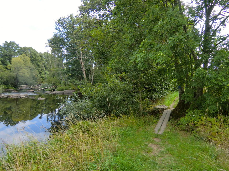
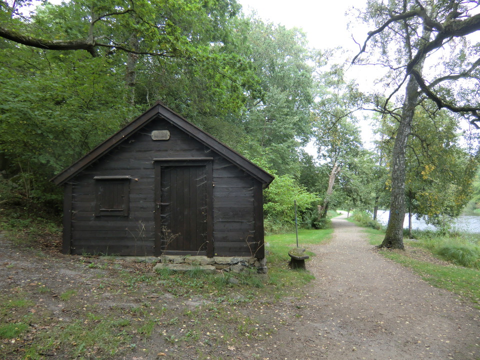
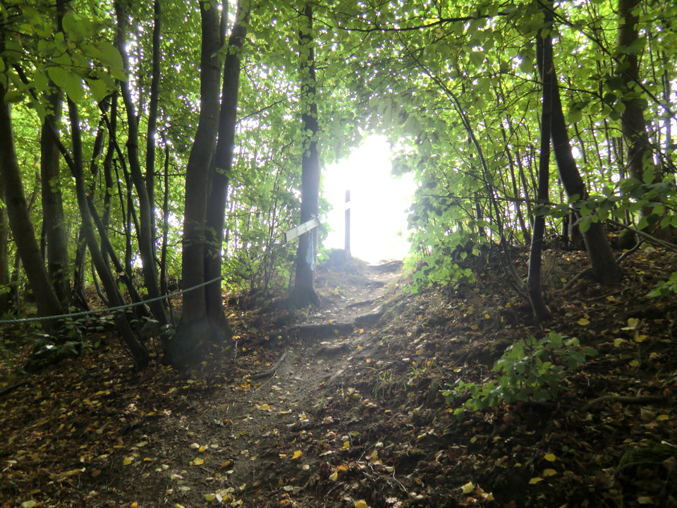
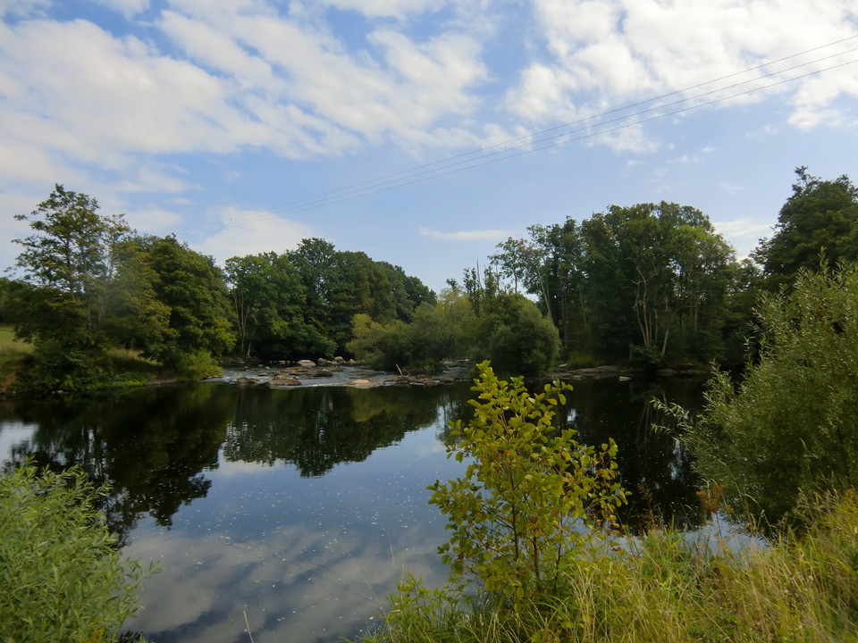
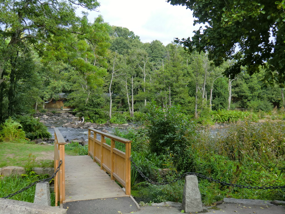
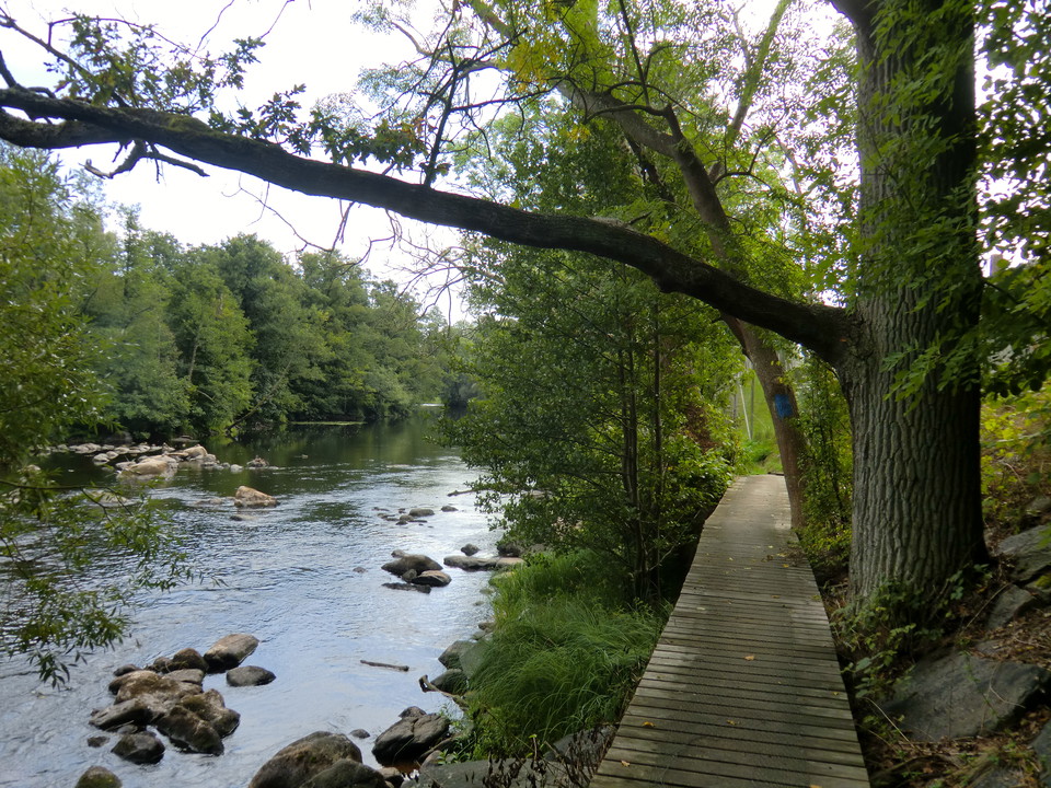
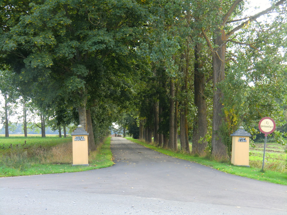
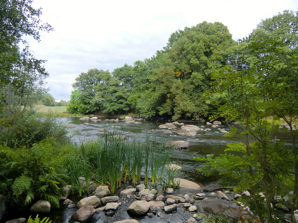
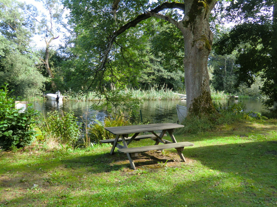
A walk that follows the Mörrumsån river, apart from at the south end where it runs through farmland. It passes the historic site of Elleholm and Mörrums Kronolaxfiske (read more via the links on the map).
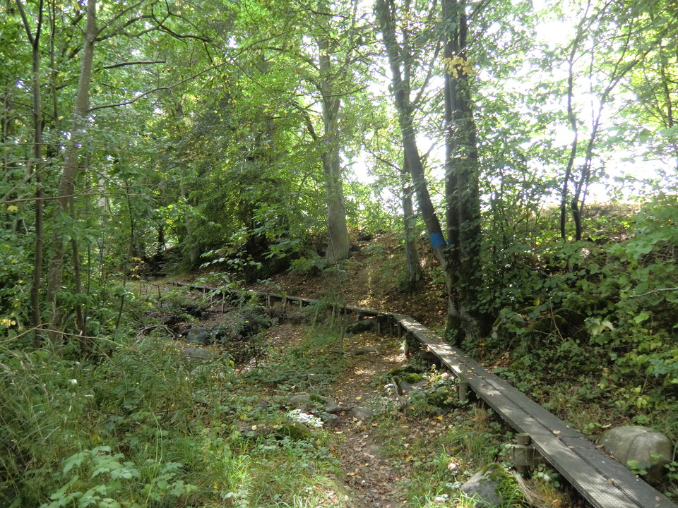
Marked in blue all the way. There are fewer signposts in the south but the route there is easy to follow.
Aktiviteter og fasiliteter
- Fotturer
Underlag
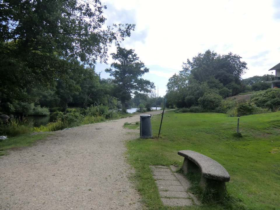
Gravel path in the north, wooden boardwalks and beach path in the middle and road at the far south. Disabled-friendly from Mörrums Kronolaxfiske down to the railway bridge over Mörrumsån. The rest of the route has many wooden boardwalks along steep beach edges.
Nedlastinger
Kontakt
E-postadresse
Karlshamns kommun Servicecenter
Organisasjonens logotype

Jeg har vært her 3


Jeg ønsker å dra hit 33


Spørsmål og svar
Still et spørsmål til andre brukere av Naturkartan.
Omtaler
0 anmeldelser
- 5 :
- 4 :
- 3 :
- 2 :
- 1 :
Brukernes bilder
Ingen brukerbilder ennå. Bli den første til å dele!
