
-
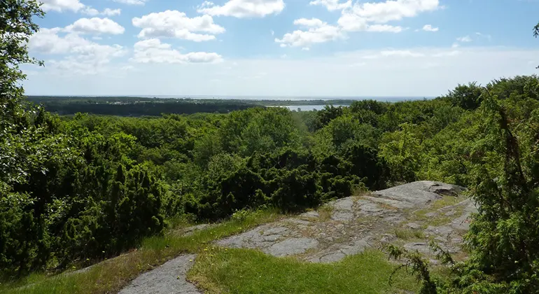
Utsikt från toppen av Stiby backe. Foto Ingegerd Nordahl /Länsstyrelsen Blekinge -
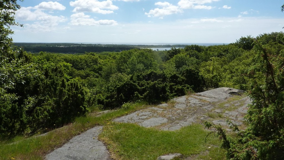
Stiby backe. Utsikt från toppen.
Foto: Ingegerd Nordahl -
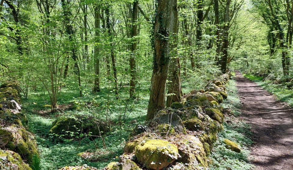
Stiby backe. Avenbokskog i nyckelbiop, Fägata/ gammal väg. Foto Ingegerd Nordahl /Länsstyrelsen. -
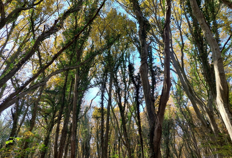
Stiby backe. Avenbokskog i höstfärger. Foto Ingegerd Nordahl /Länsstyrelsen -
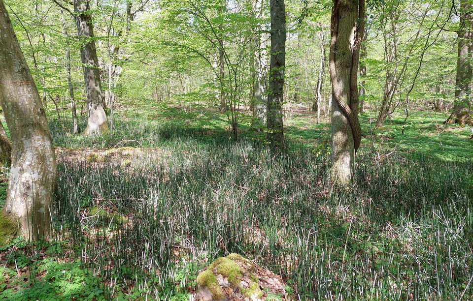
Stiby backe. Skavfräken i nyckelbiotop. Foto Ingegerd Nordahl /Länsstyrelsen -
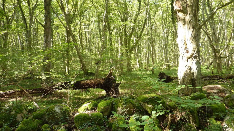
Stiby backe. Avenbokskog.
Foto: Ingegerd Nordahl -
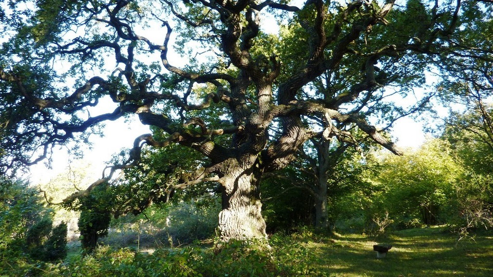
Stiby backe. Vidkronig ek.
Foto: Ingegerd Nordahl -
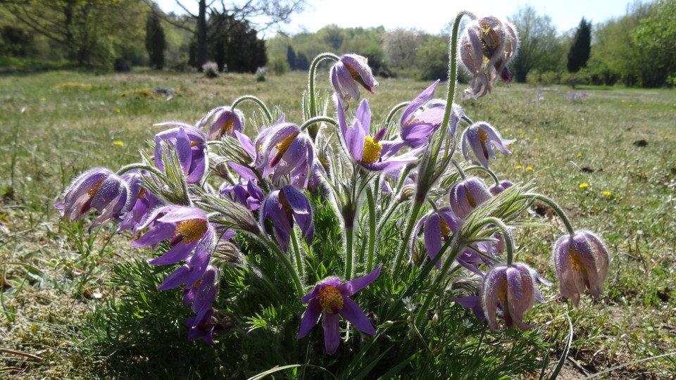
Stiby backe. Backsippor i torräng.
Foto: Ingegerd Nordahl -
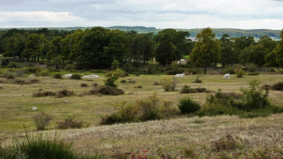
Stiby backe. Betesdjur på öppna gräsmarker.
Foto: Ingegerd Nordahl -
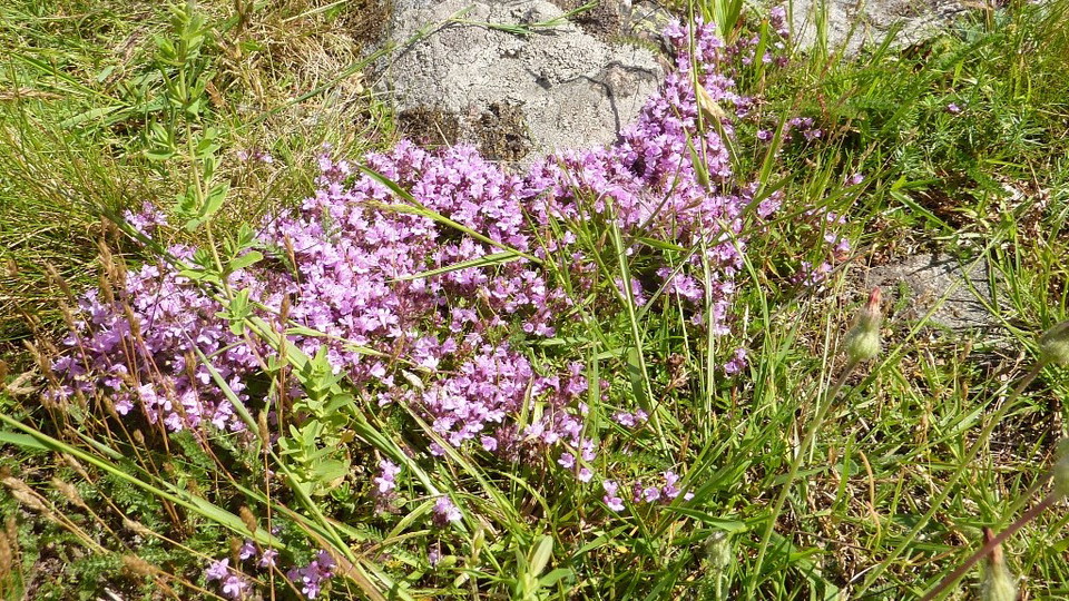
Stiby backe. Backtimjan i torräng.
Foto: Ingegerd Nordahl -
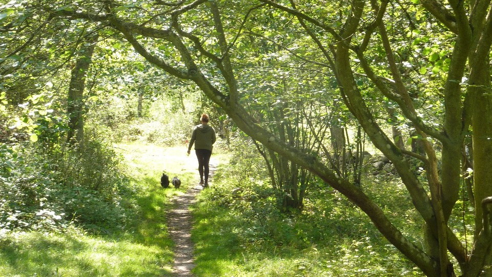
Stiby backe. Vandring med hund.
Foto: Ingegerd Nordahl -
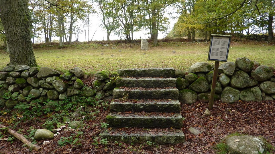
Stiby backe. Koleragravplats.
Foto: Ingegerd Nordahl -
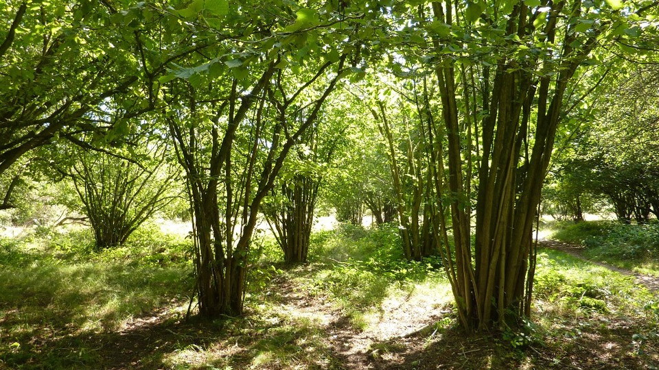
Stiby backe. Hasselbuketter.
Foto: Ingegerd Nordahl -
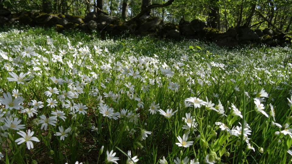
Stiby backe. Skogsstjärnblommor.
Foto: Ingegerd Nordahl -
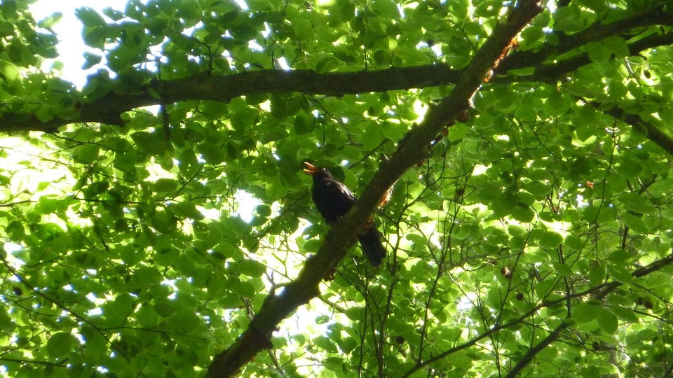
Stiby backe. Fågelsång, koltrast.
Foto: Ingegerd Nordahl -
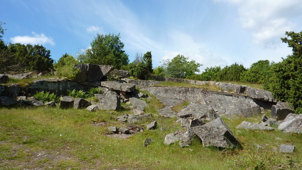
Stiby backe. Gammalt stenbrott.
Foto: Ingegerd Nordahl
Stiby backe, Naturreservat
- Naturreservat
- Fylke: Blekinge län
Handlinger
Beskrivelse
Stiby backe is one of Listerlandet's remaining mountains. In the nature reserve there are many paths to walk on. In the spring, wood anemones bloom in the dry meadows and bluebells in the hornbeam forest. The top of the mountain is 70 meters above sea level. From here you have an extensive view of Kråkenabben, Listershuvud and Hanö.
From the community of Hällevik, several paths lead to the summit through deciduous forest with hornbeam and beech, as well as over dry meadows and rocky areas. There are grazing animals in the pastures. The large number of habitats in the area provides a rich animal and plant life. The reserve is also geologically interesting.
Restberg
Stibyberget has an interesting geology. It rises significantly above the plains of Listerlandet. The mountain has a fairly large plateau 60 meters above sea level. The bedrock consists of coarse eye granite of the Karlshamn type. The mountain is a remnant mountain, which already existed in the Cretaceous period, 100 million years ago. Cretaceous deposits from the tropical seas of that time are found in the mountain's surroundings.
Memories of the Ice Age
During the last ice age, the residual mountains were given their final shape by the grinding of the rock core. Most of the highest parts of the mountain are flat, extensive outcrops. The outcrops contain ice grooves that run in the direction of the ice sheet.
South-southwest of the mountain is a drumlin, a streamlined formation formed by the movement of the ice sheet. The side facing the ice movement (here in the north) is called the impact side and it was smoothed as the ice slid over it. On the opposite side, the leeward side, loose till material accumulated. On Stiby backe, till has been deposited as large blocks on both sides and south of the rock core. The reserve includes large parts of the residual rock, but only a small part of the drumlin formation, which is 4 km long and 1.3 km wide.
After the ice sheet melted, the land began to rise. This gradually formed terraces on the eastern side of the mountain and embankments on its south-western side, here at between 48 and 31 meters above sea level.
From burial sites to quarries
Not far from the summit are burial mounds from the Bronze Age, 3,800 - 2,500 years ago. In the southern part of the reserve there is a cholera burial ground where some of the 50 victims of the 1853 cholera epidemic on Listerlandet rest. The reserve also contains other cultural-historical remains such as quarries, old road systems, stone walls in borders and fences and stone foundations for a mill. Along the eastern boundary of the reserve is a lane and old road with stone walls on both sides. The old road is now widely used as a hiking trail.
Rich plant and bird life
Northeast of the summit of Stibyberget, the soil is nutrient-rich and a hornbeam forest grows here with ivy winding around several of the trunks. In spring, the flora is at its richest, with a variety of primroses, spring onions and violets. Later in the year, typical broadleaf woodland plants such as woodland bells and starflower appear. The marshes grow chafing grass. Hazel is abundant, under a canopy of old oak and beech and in pastures. Pine is also present. The dry meadows are home to wood anemone, wood anemone, gray saxifrage and yellow feverfew. In the pastures you can see wood anemone, bloodroot, coneflower, various clover species, meadow carnation and meadow celandine. In the groves, you will find desm bud, goat's beard, cowslip, little nunwort and common nunwort. Large parts of the area are pasture.
The reserve has a rich small bird life with woodlark, nightingale and a large number of warblers, including hawk warbler. There are two key biotopes in the eastern parts of the reserve. One consists of mixed broadleaf forest and swamp forest on calcareous soil. The other has nutritious hornbeam-dominated forest.
Aktiviteter og fasiliteter
- Naturreservat
Fakta
Year of protection: 1971. Extension in 2014 and 2024
Municipality: Sölvesborg
Characteristics: Residual mountain and drumlin formation, deciduous forest, swamp forest, grazed oak woodlands, hazel groves and dry meadows
Area: 131.5 hectares
Landowners: State and private
Manager: Blekinge County Administrative Board
Type of protection: Nature reserve and Natura 2000
Veibeskrivelse
The reserve is located immediately north of Hällevik's community and you can walk or cycle there from several directions, long stretches on footpaths and cycle paths.Turn off the E22 at junction 47 Listerlandet. Follow road 123 and signs for Stiby Backe nature reserve to get to the parking lot north of the reserve. There is also parking in the middle and south of the reserve. Follow the signs to Hällevik and drive onto the gravel road at the parking sign from Stibyvägen, or when you enter Hällevik, turn left onto Backsippevägen.Buses go to the reserve with line 2 from Sölvesborg. The nearest bus stop is Tallparken, which is 400 meters from the reserve. You can also get off at one of the stops Stiby backe, Hälleviks skola or Hanöhus Hällevik.
Forskrifter
You are welcome to visit Stiby backe, but please note that it is not allowed to
- damage the ground, destroy or damage solid natural objects or surface formations
- prospect for minerals
- Damage stone walls, cairns or other cultural-historical remains
- disturb wildlife
- damage growing or dead trees and bushes, or vegetation in general
- pick mosses, lichens or wood-living fungi, other than what is reasonably necessary for species identification
- planting plant or animal species alien to the area, or breeds or types alien to the area
- bring an unleashed dog other than for hunting
- drive a motorized vehicle or bicycle other than on the designated road to the reserve's parking area
- ride or drive a horse, except on designated trails
- camping or setting up a caravan or motorhome
- light a fire other than in a specially prepared fireplace
- capture and collect invertebrates in such a way that their biotopes or reproductive environments are damaged or destroyed.
Without permission from the county administrative board, you may not
- conduct scientific research involving sampling or installation of equipment
- use the area for competitions or exercises that may disturb nature or the public's outdoor life
- put up a board, poster, poster, sign or similar.
Riding trails
There are marked bridleways within the nature reserve. According to the regulations for the nature reserve, horseback riding is only allowed on designated riding trails. All other riding is prohibited.
The general advice that applies is
- keep your distance from grazing or resting cows
- never ride through a herd
- close the gates behind you.
Kontakt
E-postadresse
Länsstyrelsen Blekinge
Organisasjonens logotype

Jeg har vært her
Jeg ønsker å dra hit 1

Spørsmål og svar
Still et spørsmål til andre brukere av Naturkartan.
Omtaler
0 anmeldelser
- 5 :
- 4 :
- 3 :
- 2 :
- 1 :
Brukernes bilder
Ingen brukerbilder ennå. Bli den første til å dele!
