ARK56 - Blekinges länkade kustleder
Länkade kustleder i ett Unesco biosfärområde

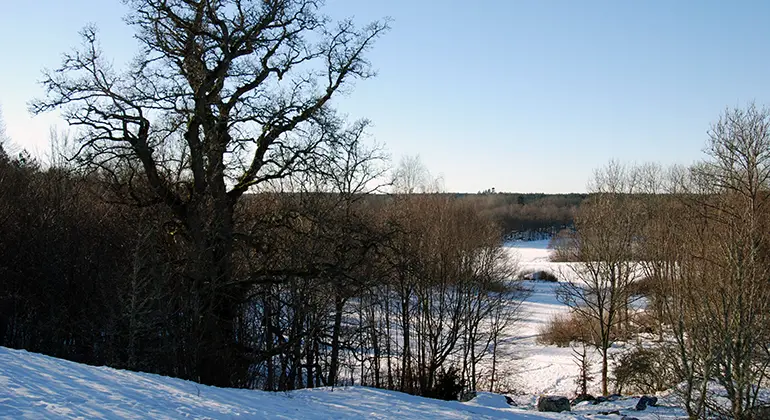
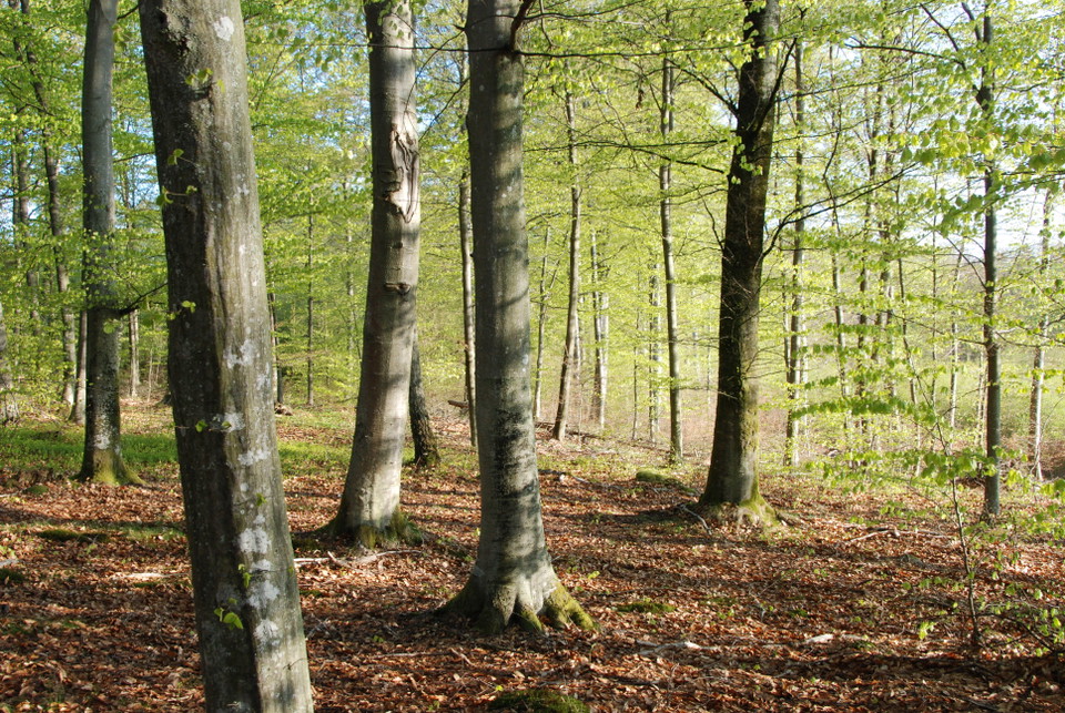
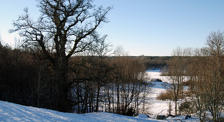
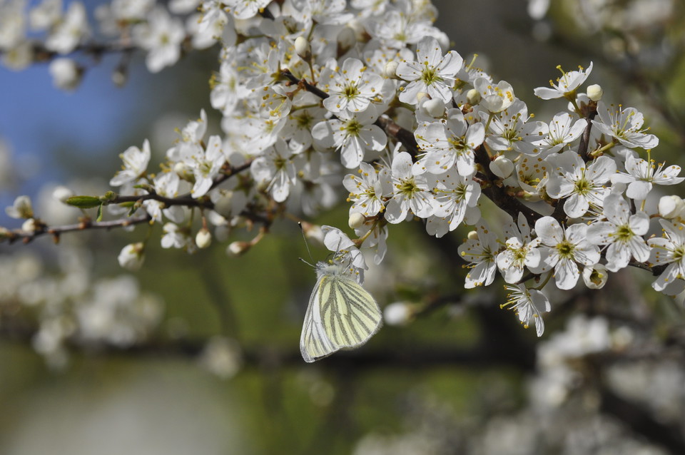
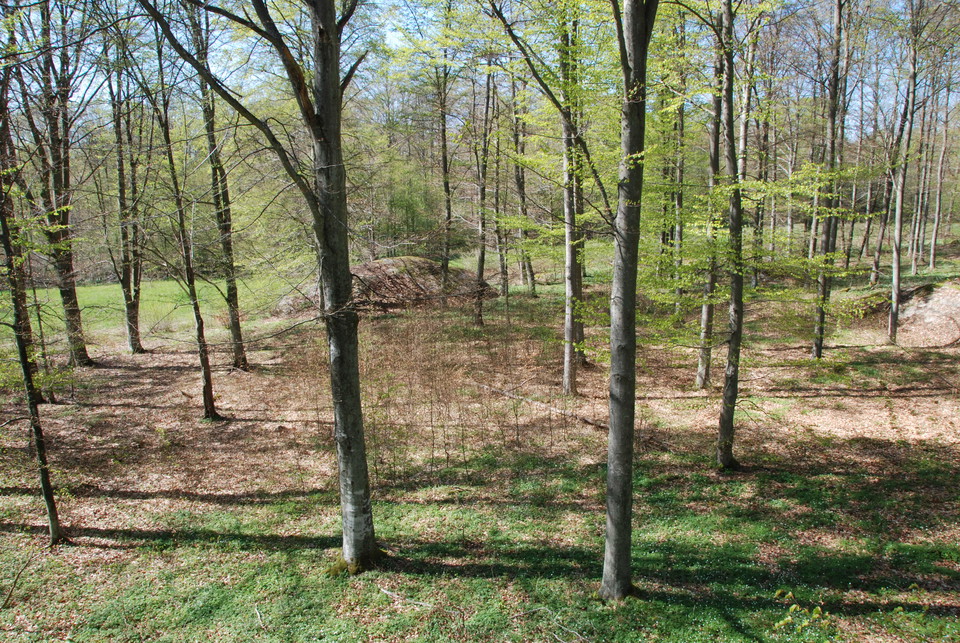
The Moabacken nature reserve is an easily accessible nature reserve close to urban areas that mainly contains old broadleaf forest.
The nature reserve is located in a rift valley landscape with forested heights and valley bottoms with arable land. About 70% of the reserve consists of deciduous forest with mainly old beech and oak. There is a good supply of dead wood in both shady and sunny locations. The area contains a number of known red-listed species, especially lichens and fungi.
The nature reserve also contains cultural-historical values in the form of ancient remains (graves and stone circles from the Bronze Age-Iron Age) and cultural-historical traces such as croft ruins, stone walls and old dirt roads. The proximity to Kallinge means that the area has great recreational value.
Year of protection: 2012
Municipality: Ronneby
Character: Deciduous forest, rift valley, ancient remains
Area: 90 hectares
Landowners: Private and Ronneby municipality
Manager: Blekinge County Administrative Board
Form of protection: Nature reserve
The nature reserve is located immediately west of Kallinge, between the community and highway 27. From the parking lot, at Västervägen, a path leads into the reserve.
You are welcome to visit Moabacken, but please note that it is not allowed to
Without permission from the county administrative board, you may not
Länsstyrelsen Blekinge


Still et spørsmål til andre brukere av Naturkartan.
0 anmeldelser
Ingen brukerbilder ennå. Bli den første til å dele!