ARK56 - Blekinges länkade kustleder
Länkade kustleder i ett Unesco biosfärområde

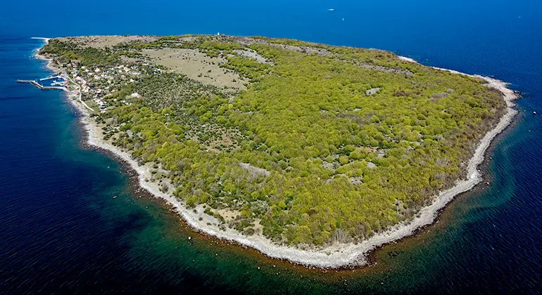
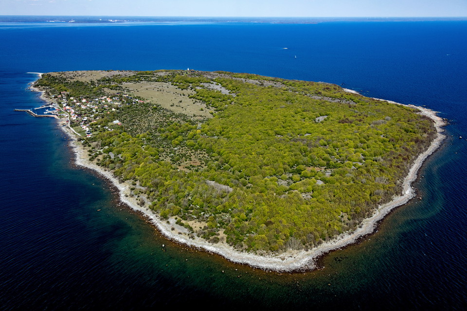
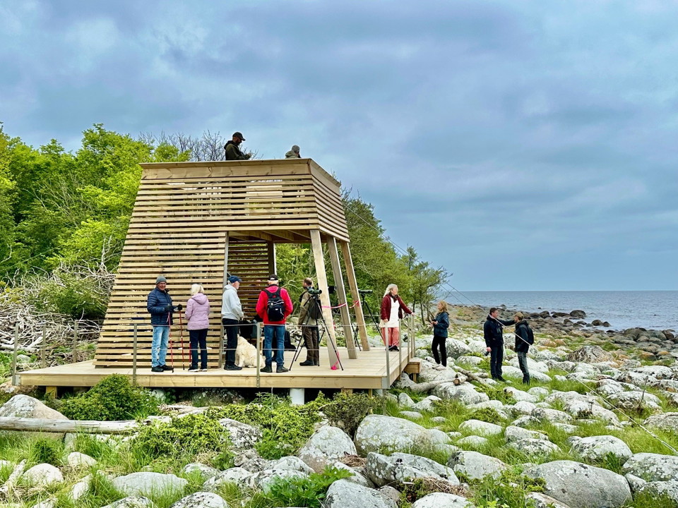
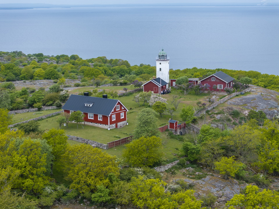
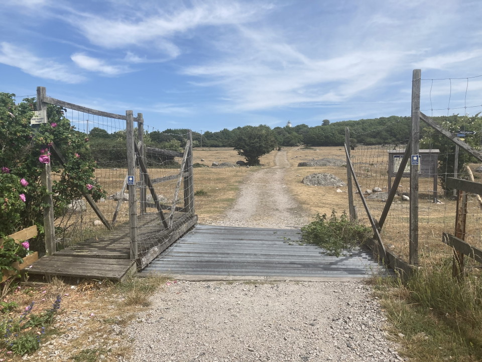
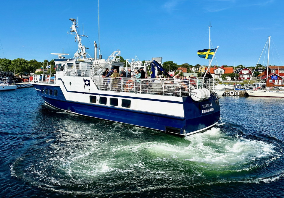
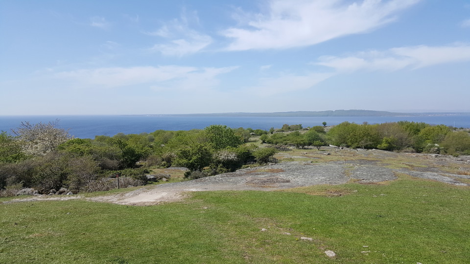
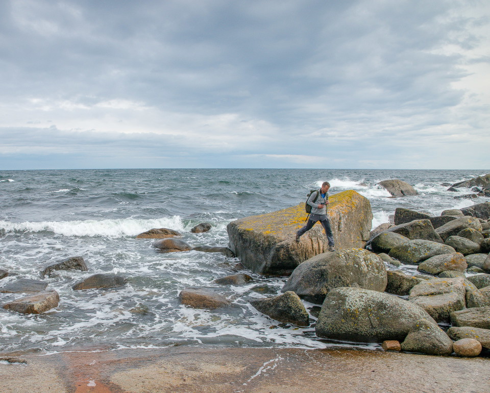
When you visit Hanö Nature Reserve, you will experience a very special island in the Baltic Sea with high geological values, varied nature and an exciting cultural history.
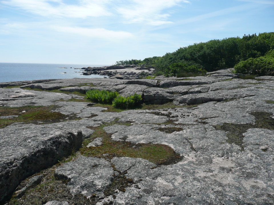
Hanö has an exciting geology. The island is a remnant mountain, which was formed in a tropical climate a few hundred million years ago. Younger chalk rocks have since covered the bedrock and preserved the older forms. In recent millions of years, weathering and erosion have once again exposed the tropical weathering form of the bedrock, traces of which can be seen at Vindhalla and Pynten, among other places.
In recent millions of years, the climate has been dominated by long ice ages and short warm periods. The ice has worked, broken off and transported away bedrock material, which has shaped Hanö into a drumlin formation, with steeply sloping bedrock slopes in the east and northeast, which towards the west and southwest turn into flatter moraine-dominated plains.
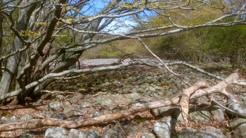
Hanö is also home to a large number of well-preserved beach embankments, beach notches and shingle fields from the Baltic Sea's varying beach levels after the last ice age. They are particularly evident on the western slopes of the island. The highest area is at Fyrkullen, about 53 meters above sea level. The shingle field there was formed shortly after the last ice retreated, 14,000 years ago, when only the top of the island, some 60 meters high, rose out of the Baltic Ice Sea. When the shore levels were at their lowest, 11 000 years ago, pine forests grew on parts of today's seabed. Today, stumps from these forests still remain on the seabed off Hanö. The beach levels have since risen and fallen several more times, leaving traces in the form of embankments and notches. The same is happening along today's shoreline, where in the future it will be possible to read today's beach levels.
Read more about the development of Hanö and the Baltic Sea since the last ice age in the fact box "Geological trail" below.
The vegetation of Hanö has undergone major changes in recent centuries. Until the beginning of the 19th century, the land was dominated by extensive broadleaf forests. Extensive logging and intensive cattle grazing had turned the island into an open and almost treeless landscape in the first half of the 20th century. Small remnants of forest remained, mainly in the south-east. When cattle grazing ceased in the mid-20th century, shrub and tree vegetation began to spread again.
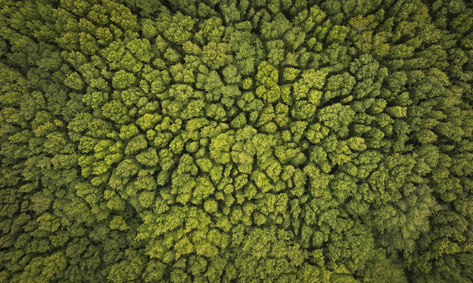
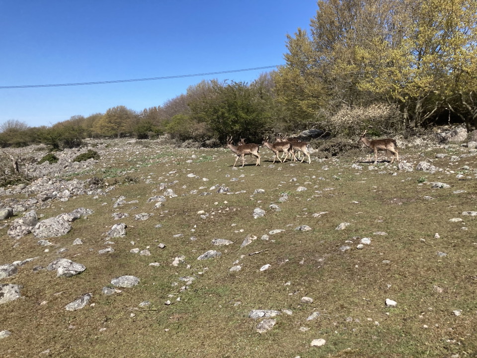
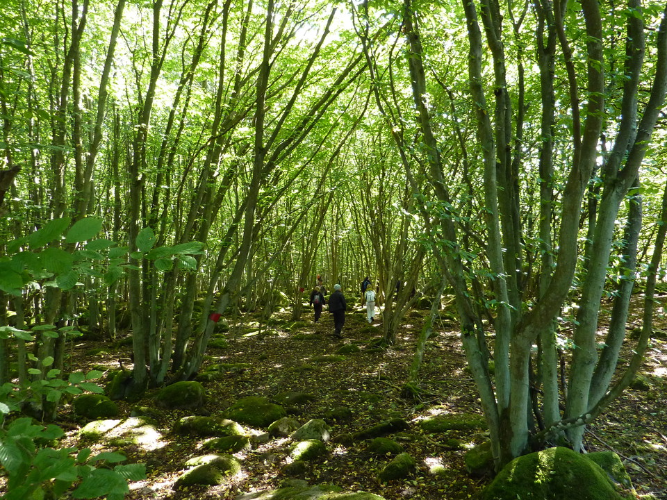
Today, one of Sweden's largest hornbeam forests can be found in the southern parts of Hanö. Towards the north, open grasslands, shrublands and rocky areas take over. There are also a few small lakes on the otherwise mainly dry land. Among the interesting species are the plants flag rose, foxglove and spring chickweed, the sponge leatherball, the beach toad and the razorbill. There are also fallow deer on the island. In spring and fall, many migratory birds and butterflies pass through.
Hanö has a rich cultural history. There have probably been fishing settlements here since the Middle Ages and since the 1830s the island has had a permanent population. There are several ancient remains on and around the island, such as house foundations, plots, boat sheds, burial sites and wrecks.
The English cemetery is a memory from the years 1810-1812, when Hanö served as the English naval base in the Baltic Sea during Napoleon's blockade. The cemetery is still regularly visited by passing ships of the British fleet.
Hanö is a popular destination and there are many exciting places to visit on the island. A number of well-marked hiking trails lead the visitor around the island and reduce the risk of getting lost.
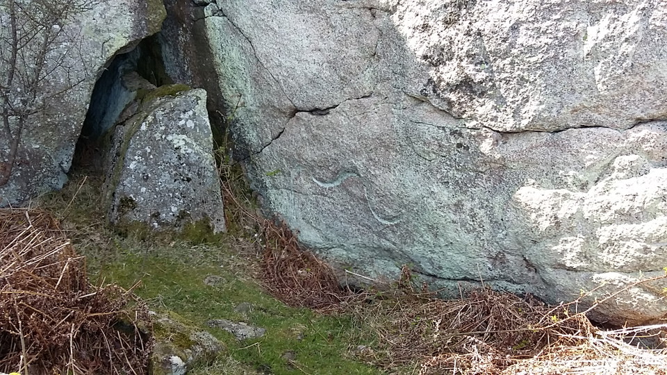
From the top of Fyrkullen, there is an expansive view of the island and surrounding landscape. A path leads down to the boulder cave Rövarkulan, which is said to have been a hiding place for pirates and snappers. In a granite wall just next to it is the Dragon Mark, a thin, folded layer of older gneiss, which, according to legend, appeared when the lighthouse was lit for the first time in 1869. A kite is said to have been blinded by the light and crashed into the rock wall.
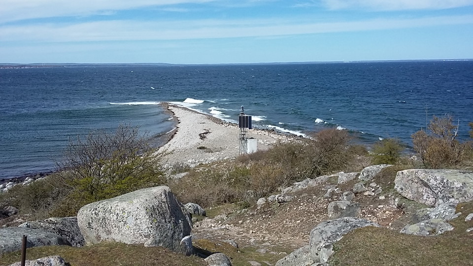
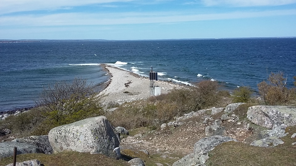
In the magical hornbeam forest to the south are the two dolines Gamla and Nya Kar, which are said to be the footprints of giants and where robbers later hid. To the north is the beach spur Bönsäcken, a shingle reef that stretches out into the water like a tail, changing direction and shape according to the ocean currents and the action of the waves.
On Hanö there are traces in the landscape that tell us about the Ice Age and ancient water levels. Walk the geological trail and read about ice grooves, shingle fields and drumlins on signs along the way. You will also follow the history of the Baltic Sea from lake to sea, to lake and to sea again. Welcome to the geological walk!
About 14,600 years ago, the ice sheet disappeared from this area. Over the following millennia, the water here off the coast changed from meltwater lake to bay to lake to today's brackish sea - the Baltic Sea. The shoreline level also changed, and has been both higher and lower than today.
Signs along the geological trail tell you about the different stages of the Baltic Sea, as well as the traces left by the ice sheet and ancient seas. You can also see how the shoreline has moved up and down the mountain several times. This is why the signs are not in chronological order.
The geological trail is one of several trails on Hanö. It takes you from the harbor to the top of the mountain. On Listershuvud, which has been affected in the same way as Hanö, there is also a geological trail.
Protection year: 2017, extension 2024
Municipality: Sölvesborg
Characteristics: Island, remnant mountain with post-glacial embankments, broadleaf forests, open grasslands, marine areas, outdoor recreation, cultural history
Area: 376 hectares, of which 192 hectares are land and 184 hectares water
Landowner: The state
Manager: Blekinge County Administrative Board
Type of protection: Nature reserve and Natura 2000
You can get to Hanö by your own boat or use the regular boat service, which departs from Nogersund harbor. You can get to Nogersund by bus from Sölvesborg or by car.Take the exit from the E22 at the Listerlandet interchange (47) and follow road 123 (Hälleviksvägen) to Nogersund. Public parking is available at the turnaround at Nogersund harbor.The nearest bus stop is Nogersund harbor, which is served by line 2.
You are welcome to visit Hanö, but please note that it is not allowed to:
Without permission from the county administrative board, you may not
Länsstyrelsen Blekinge



Still et spørsmål til andre brukere av Naturkartan.
0 anmeldelser
Ingen brukerbilder ennå. Bli den første til å dele!