ARK56 - Blekinges länkade kustleder
Länkade kustleder i ett Unesco biosfärområde

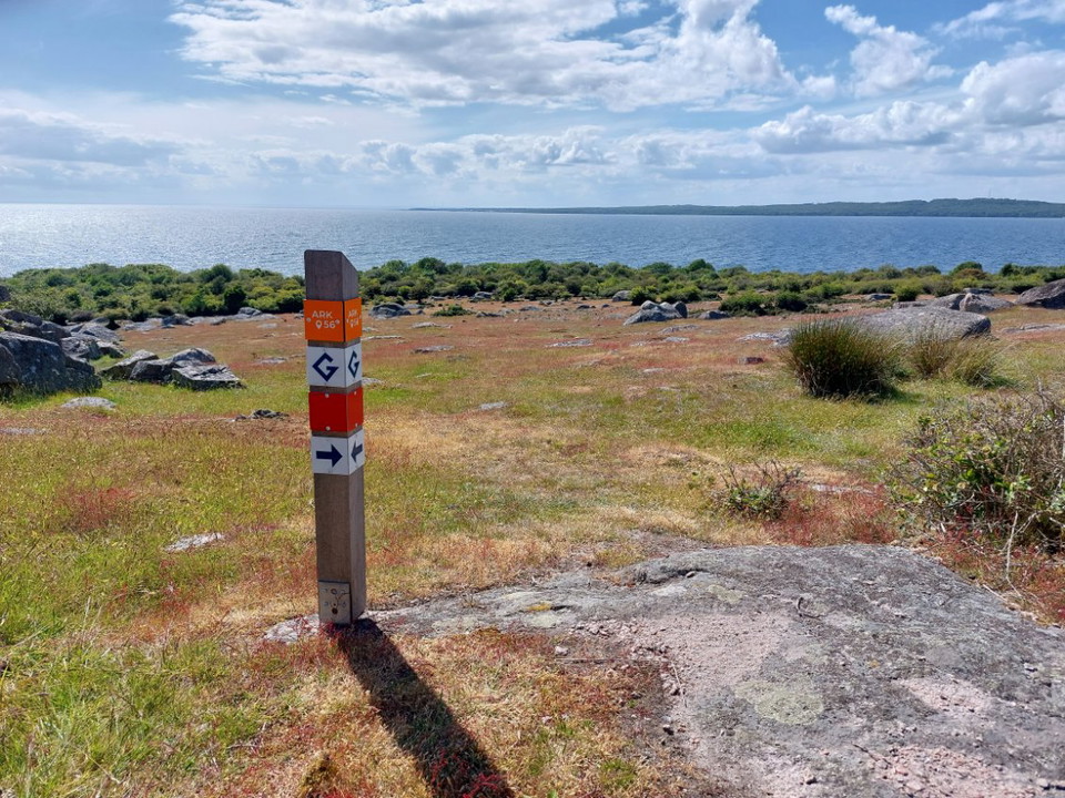
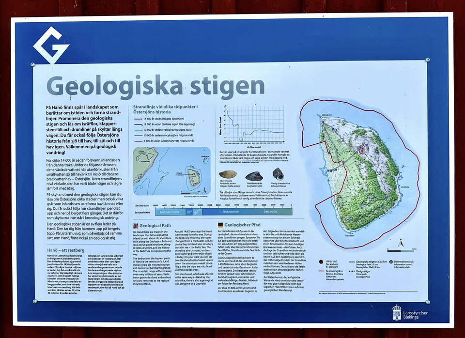
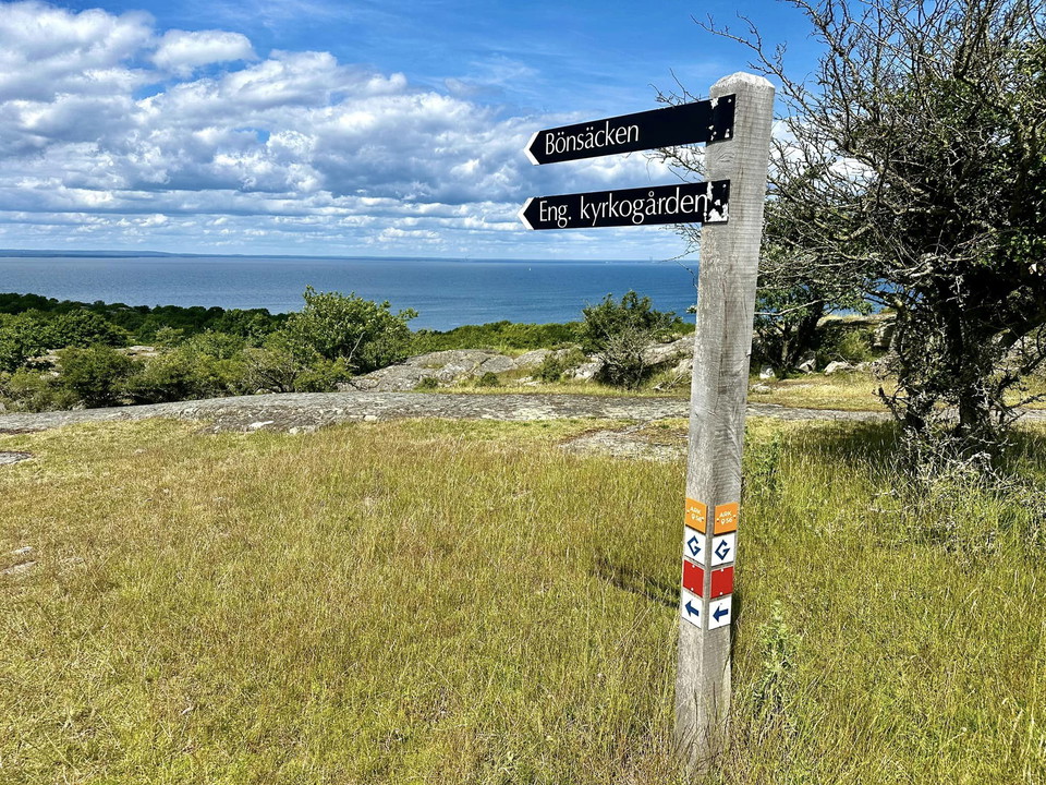
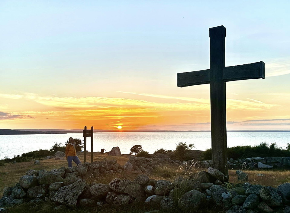
On Hanö there are traces in the landscape that tell about the ice age and former water levels. Walk the geological trail and read about ice grooves, cobblestone fields and drumlines on signs along the way. You also get to follow the history of the Baltic Sea from sea to sea, to sea and to sea again. Welcome to a geological hike!
About 14,600 years ago the ice sheet disappeared from this area. During the following millennia, the water here off the coast changed from meltwater lake to sea bay to inland lake to today's brackish water sea - the Baltic Sea. The level of the shoreline also changed, it has been both higher and lower compared to today.
On signs along the geological path, you can read about the different stages of the Baltic Sea, but also what traces the ice sheet and ancient seas left behind. You also get to follow how the shoreline has oscillated up and down the mountain several times. That is why the signs are not in chronological order.
The geological path is one of several paths on Hanö. It takes you from the harbor up to the top of the mountain.
Blekinge Arkipelag Kurpromenaden 4 372 36 Ronneby
Team ARK56


Still et spørsmål til andre brukere av Naturkartan.
0 anmeldelser
Ingen brukerbilder ennå. Bli den første til å dele!