
ARK56 - Blekinges länkade kustleder
Länkade kustleder i ett Unesco biosfärområde

Användare av Naturkartans app för Android rapporterar i sommar att appen är seg mm. Vi rekommenderar att man raderar appen helt från sin telefon i så fall och laddar ned igen! Då skall den fungera bättre. Den befintliga appen skall ersättas av en ny app efter sommaren. Den gamla appen laddar all data för hela landet lokalt i appen (för att klara offline-läge) men det innebär att den blir för stor för vissa telefoner - då behöver den raderas och laddas ned igen!
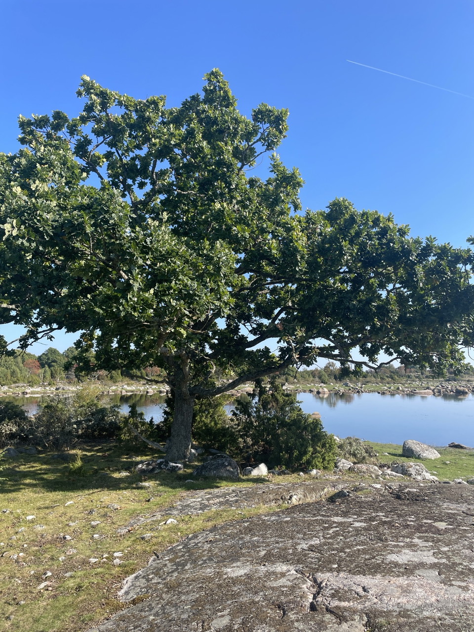
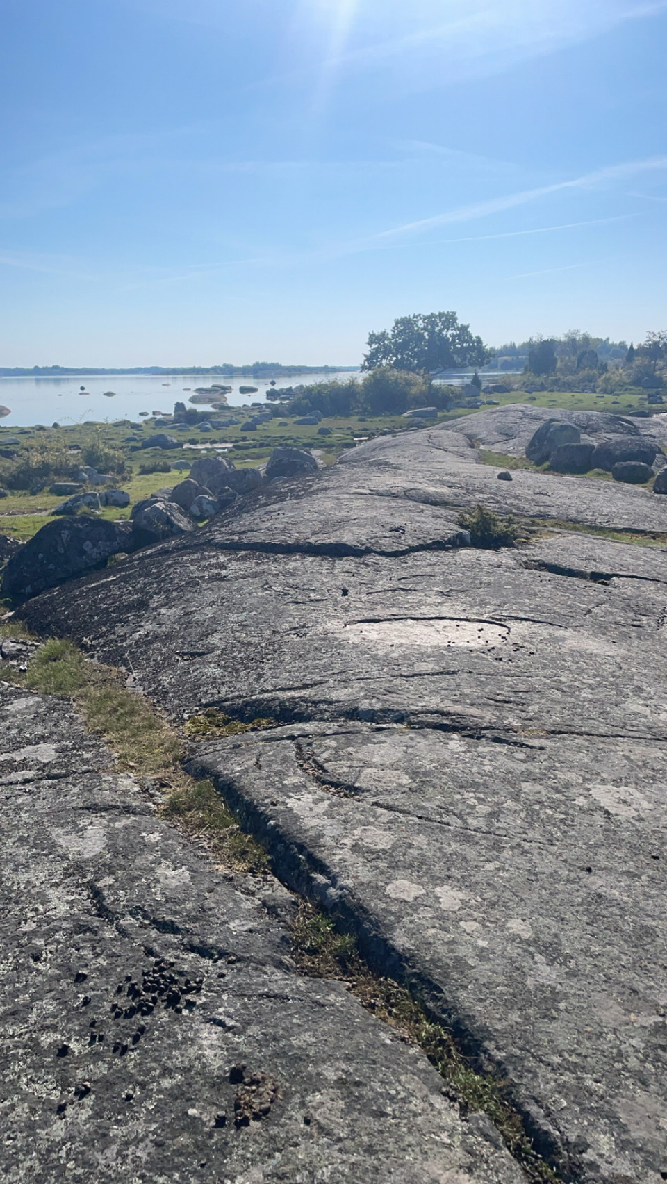
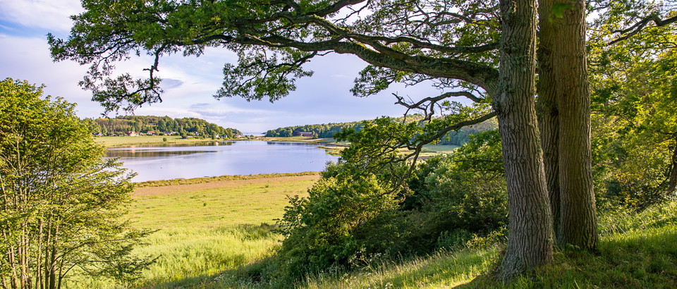
The Udden Trail is a path that runs across open pastures, rocky outcrops and coastal meadows on the western side of Almö Udde. The trail starts at Hasslövägen, opposite the parking area at the southern tip of the nature reserve, and continues north to connect with the accessible trail east of Slätthammar.
There are boardwalks on the wettest sections of the trail, and four picnic tables are placed along the route. The Udden Trail can easily be combined with the longer Almö Trail if you want to walk a circular loop on Almö Udde or continue further north from Slätthammar. The trail follows the coastline and offers beautiful views.
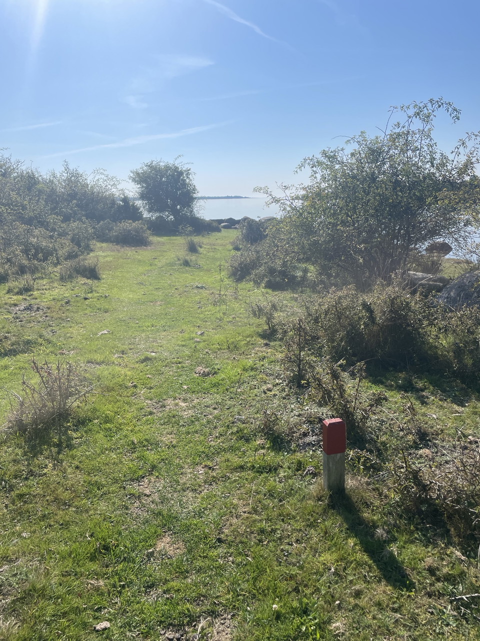
The trail is marked with ARK56 signs along the entire route.
Länsstyrelsen Blekinge
Still et spørsmål til andre brukere av Naturkartan.
0 anmeldelser
Ingen brukerbilder ennå. Bli den første til å dele!