Sörboleden
Vaellusreitit
- Kunta: Västra Götalands län
- 6607.12 km päässä sinusta
Polun yksityiskohdat
- Pituus 2.8 km
Toiminnot
Kuvaus
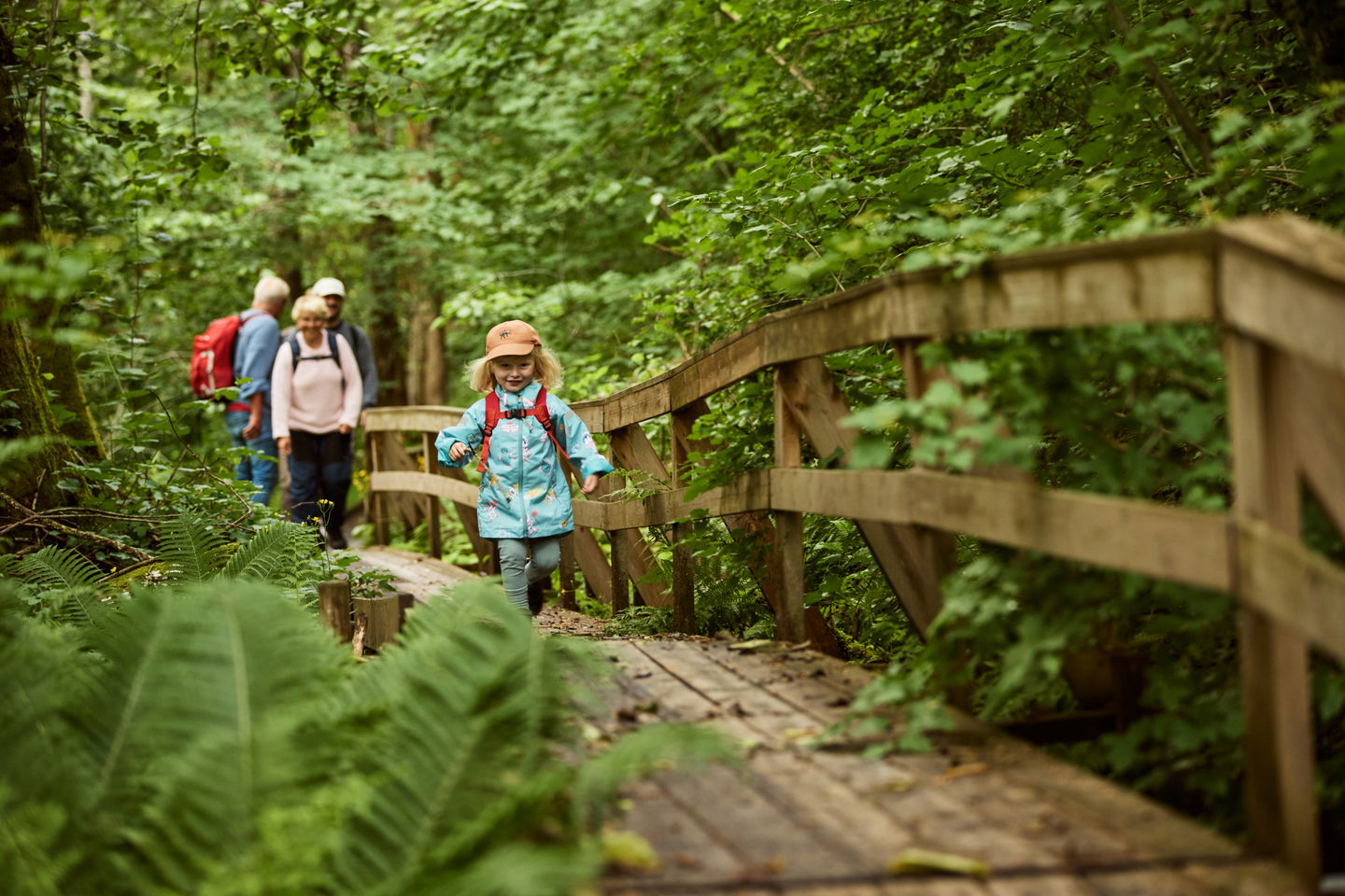
Sörboleden starts at Dalakvarn on the outskirts of Lundsbrunn. The path enters a deep ravine that was formed after the end of the Ice Age when a large landslide occurred. The running water has since widened the gorge. On the hike, you have to cross the river several times on small bridges. The nature is untouched and the vegetation is rich. For example, gray alder and ostrich fern, yellow sword lily and goldenrod grow here.
At Sörbo, two springs emerge from the slope, one with ferrous water. The last half of the trail goes through mixed forest and coniferous forest back to Dala. Net-covered boards, new bridges and stairs make the trail easier and more attractive to walk. It is an exciting hike for both young and old with the rippling river winding along the trail. The hike is relatively easy with the exception of a couple of uphill climbs to get out of the ravine.
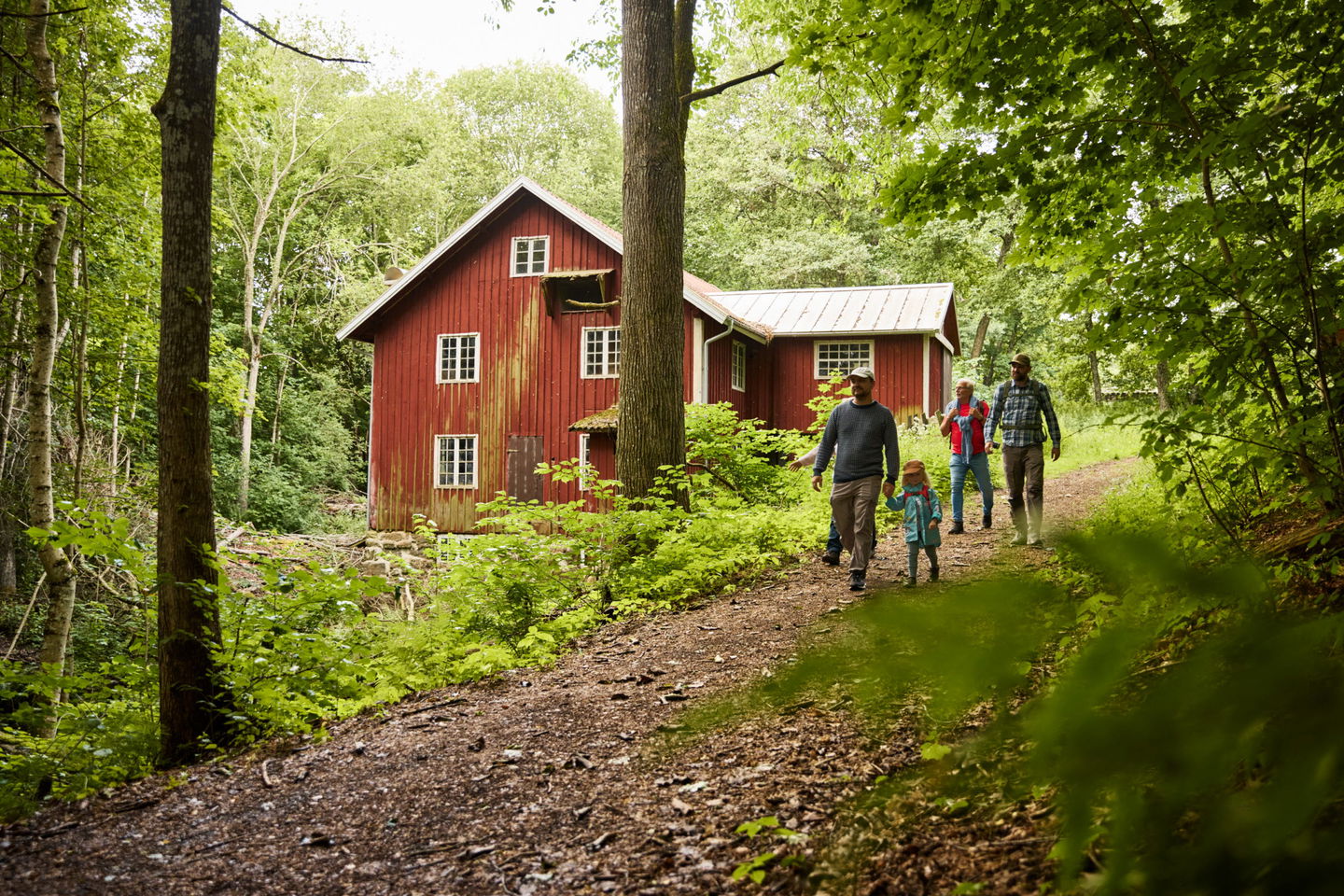
Dalakvarn is located on the southern outskirts of Lundsbrunn. There has been a mill here since the 16th century, when it was located on the outskirts of a village, Dala by. From the 17th to the mid-19th century, the mill belonged to Mariedal and then to Lund (now Stora Lund). A new era in the mill's history began in 1885, when Emmanuel Svensson bought the mill area with land, ponds and houses. He had the large mill building built, which still stands by the Dala River. For over a hundred years the mill remained in the family. The last millers were Ragnar and Olof Ahlin, who both died in March 1990.
Toimintaa ja tilat
-
Vaellusreitit
Pysäköinti
Few parking spaces at the start of Sörboleden
Reittiohjeet
With car
Sörboleden is located in the Mariedalsån Nature Reserve. There are a few parking lots next to Dalakvarn.
Get here by public transport
By bus (Västtrafik)
Take the Västtrafik bus to the busstop Dala, from there it is about 270 meters to Sörboleden. Search for travel in Västtrafik's app To Go or on the web.
Ota yhteyttä
Osoite
En skärgård med tusentals öar, kobbar och skär. Ett bördigt kulturlandskap med fascinerande spår från medeltiden. Ett lokalt kök med genuina smakupplevelser. Romantiska hotellrum, personliga butiker och massor av möjligheter att cykla, paddla och vandra.
Sähköpostiosoite
Destination Läckö-Kinnekulle
Organisaation logotyyppi

Huomaa, että osa näistä teksteistä on käännetty automaattisesti.
Kysymykset & vastaukset (Q&A)
Esitä kysymys muille Naturkartan-käyttäjille.


