
-
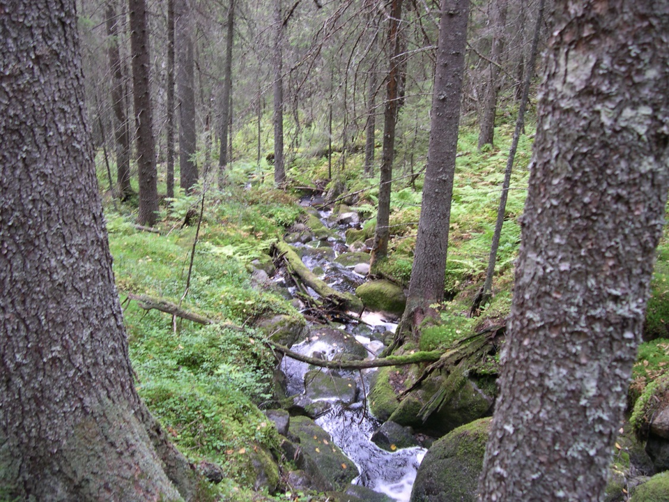
Kuva: Länsstyrelsen Västerbotten
Komyrbäcken
- Luonnonsuojelualue
- Kunta: Västerbottens län
Toiminnot
Kuvaus
The babbling Komyr stream is nice to follow up the rather steep slope. The reserve is home to several rare and red-listed species that depend on old natural forests. There is a road adjacent to the reserve. The area is a good destination for those who want to explore natural spruce forests. There are no facilities or paths here.
Toimintaa ja tilat
- Luonnonsuojelualue
Reittiohjeet
Luontoalue on noin 3 mailia luoteeseen Nordmalingista.
Yhteystiedot
Sähköpostiosoite
Länsstyrelsen Västerbotten
Organisaation logotyyppi

Huomaa, että osa näistä teksteistä on käännetty automaattisesti.
Olen ollut täällä 4


Haluan mennä tänne 3
Kysymykset & vastaukset (Q&A)
Esitä kysymys muille Naturkartan-käyttäjille.
Arvostelut
0 arvostelut
- 5 :
- 4 :
- 3 :
- 2 :
- 1 :
Käyttäjien kuvat
Käyttäjien kuvia ei ole vielä. Ole ensimmäinen, joka jakaa kuvan!
