
-
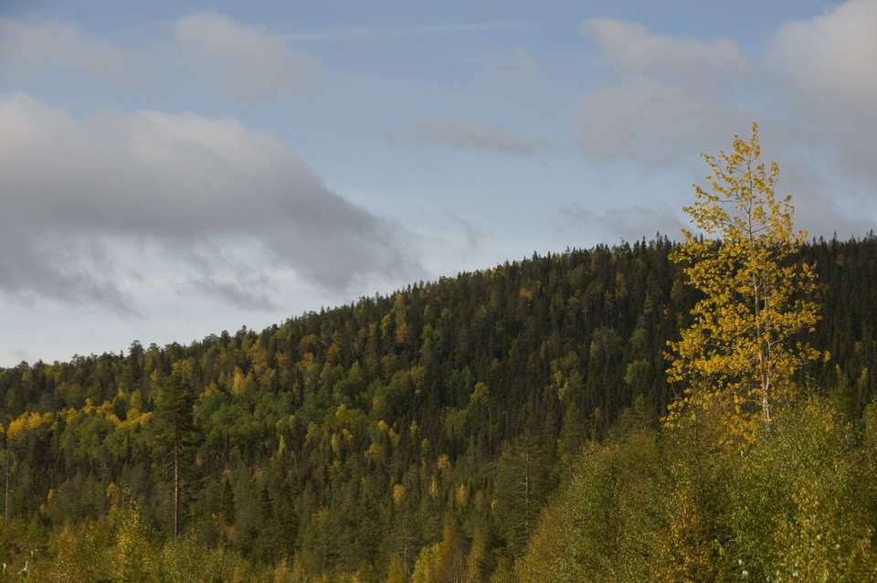
Kuva: Andreas Garpebring -
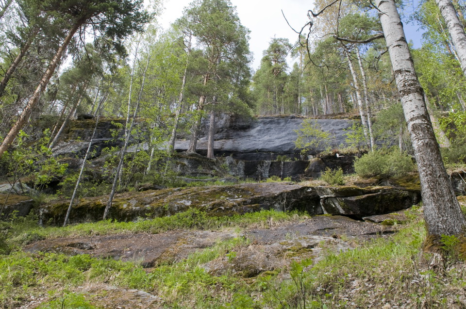
Kuva: Andreas Garpebring
Altarliden
- Luonnonsuojelualue
- Kunta: Västerbottens län
Toiminnot
Kuvaus
The mountain on the other side of the river at Rusksele is called Altarliden. The upper parts of the mountain’s northern peak are covered with fine virgin spruce forest.
Southern peak
If you follow the path from Alvik, you come to the mountain’s southern peak. This area is home to thick, ancient pine forest. In the uppermost parts of the forest there are a large number of standing dead trees, tall stumps and dead trees that have fallen to the ground. On the slopes, the forest is younger and more productive. More aspen and sallow also grow here.
Toimintaa ja tilat
- Luonnonsuojelualue
Reittiohjeet
Reservi on noin 25 km Lyckselestä pohjoiseen.
Yhteystiedot
Sähköpostiosoite
Länsstyrelsen Västerbotten
Organisaation logotyyppi

Huomaa, että osa näistä teksteistä on käännetty automaattisesti.
Olen ollut täällä 3

Haluan mennä tänne 4

Kysymykset & vastaukset (Q&A)
Esitä kysymys muille Naturkartan-käyttäjille.
Arvostelut
0 arvostelut
- 5 :
- 4 :
- 3 :
- 2 :
- 1 :
Käyttäjien kuvat
Käyttäjien kuvia ei ole vielä. Ole ensimmäinen, joka jakaa kuvan!
