Hertigparets vandringsled
Vaellusreitit
- Kunta: Värmlands län
- 6736.32 km päässä sinusta
Polun yksityiskohdat
- Pituus 3.5 km
- Vaikeuksia Sininen - keskikokoinen
Toiminnot
Kuvaus
Directions: From Highway 61 to Byamossarna and the ducal couple's trail: Exit from Highway 61 towards Mangskog at the height of Edane, the sign says Mangskog 10km. Drive about 9 kilometres and then turn left at the sign "Treskog 21". Drive about 5.5 km and turn again to the left towards "Övre Fjäll", where the asphalt road turns to a gravel road. After about 1 km you come to a crossing where a sign sais "Byamossarna", turn left onto this road. The road goes past several parking lots but follow the signs until you reach the car park at the nature reserve boundary where the Duke Couple's memorial stone stands. From the car park is 400 meters to the rest area.
The trail is part of the gift from the County Administrative Board of Värmland in connection with H.K.H. Prince Carl Philip and H.K.H. Princess Sofia marriage June 13, 2015 and hence named "Duke Couple hiking trail". The reserve highest protector is H.K.H. Prince Carl Philip and H.K.H. Princess Sofia. In winter also goes several ski trails in the area and it is allowed to go snowmobiling on marked snowmobile trails.
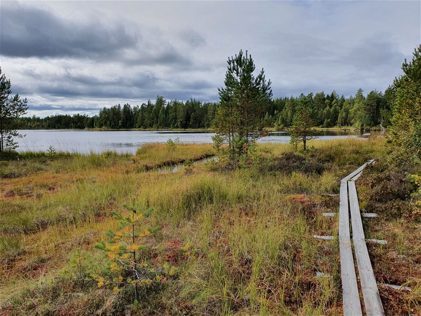
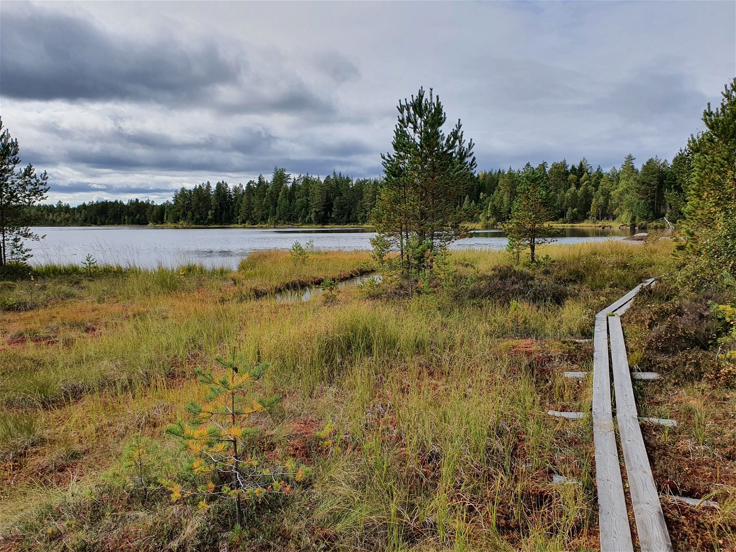
In August 2025, The County Administrative Board, Länsstyrelsen Värmland built new wooden passages across the southern outlet of the tarn Stenstjärnet and across the wide ditch on the west side of the tarn.
A map can be downloaded under "documents".
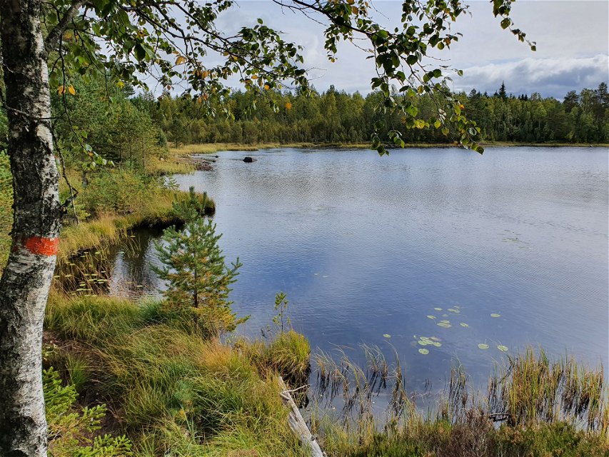
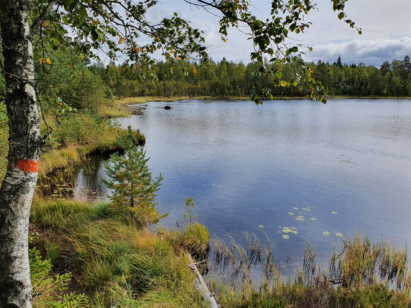
Orange markings on posts and trees.
Mobile coverage is very limited in the area.
Toimintaa ja tilat
-
Vaellusreitit
-
Pyörösilmukka
Faktat
Description of clockwise direction
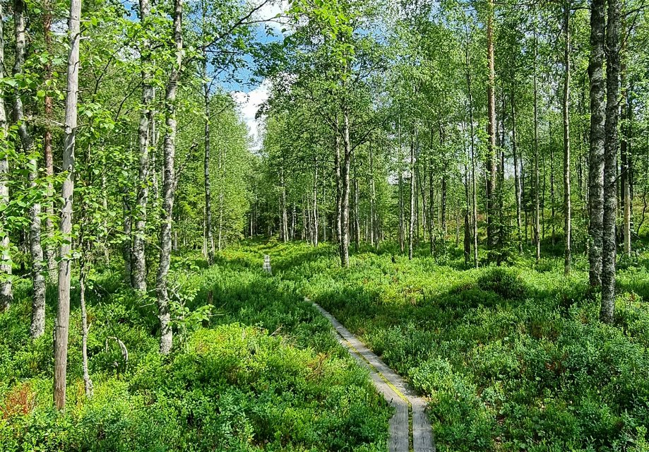
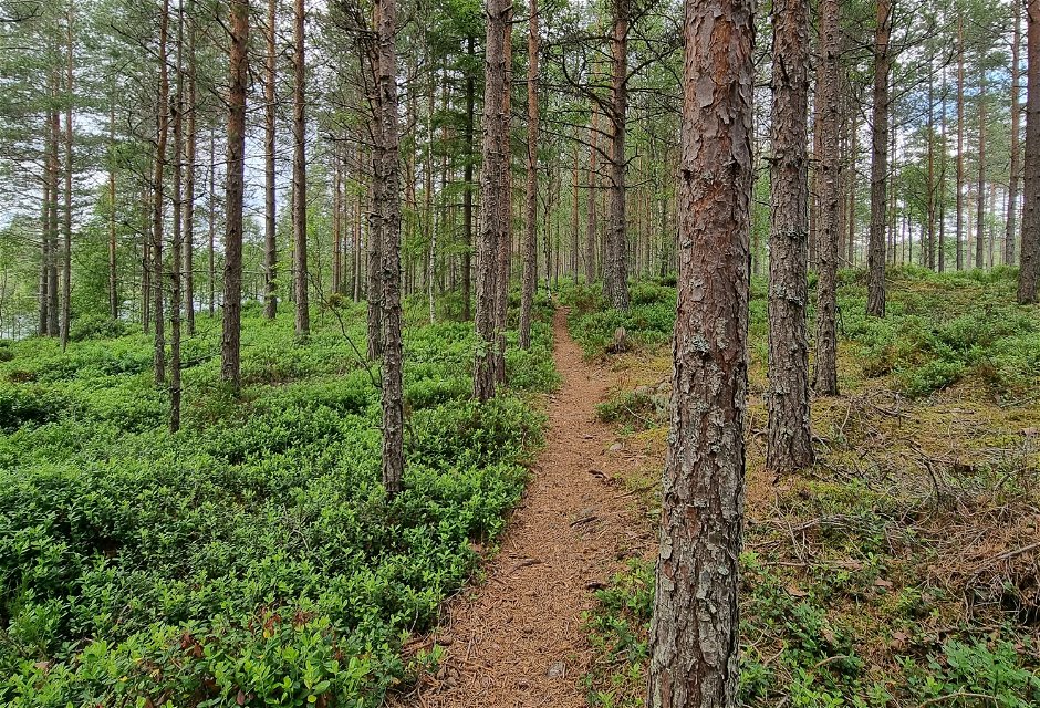
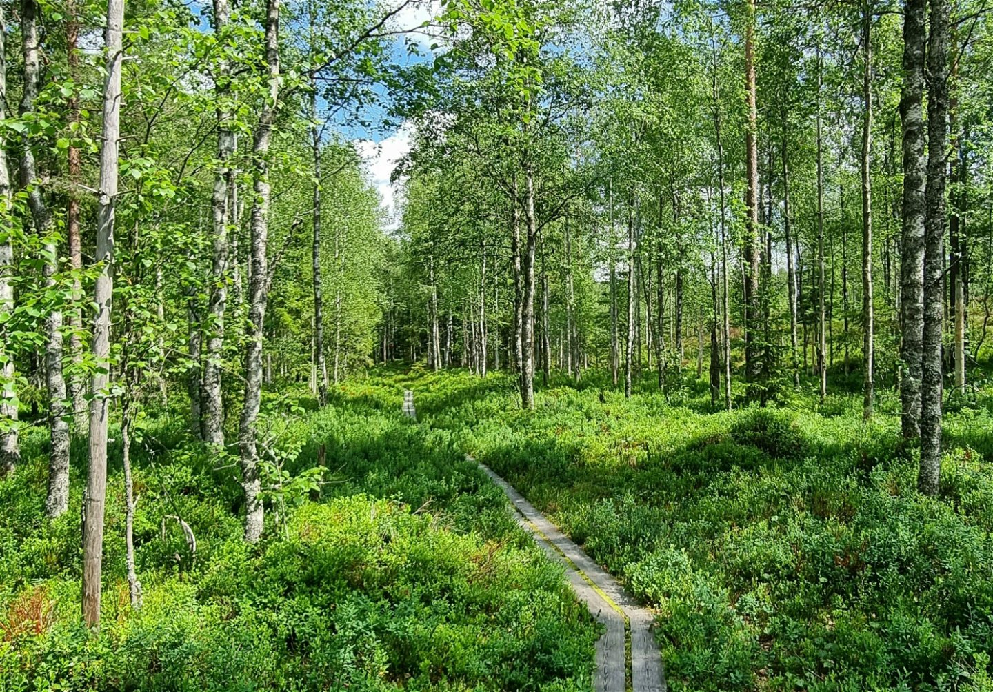
A duck board passage through mixed forest, leads you
to the circular trail around the tarn. Already from the start you find many
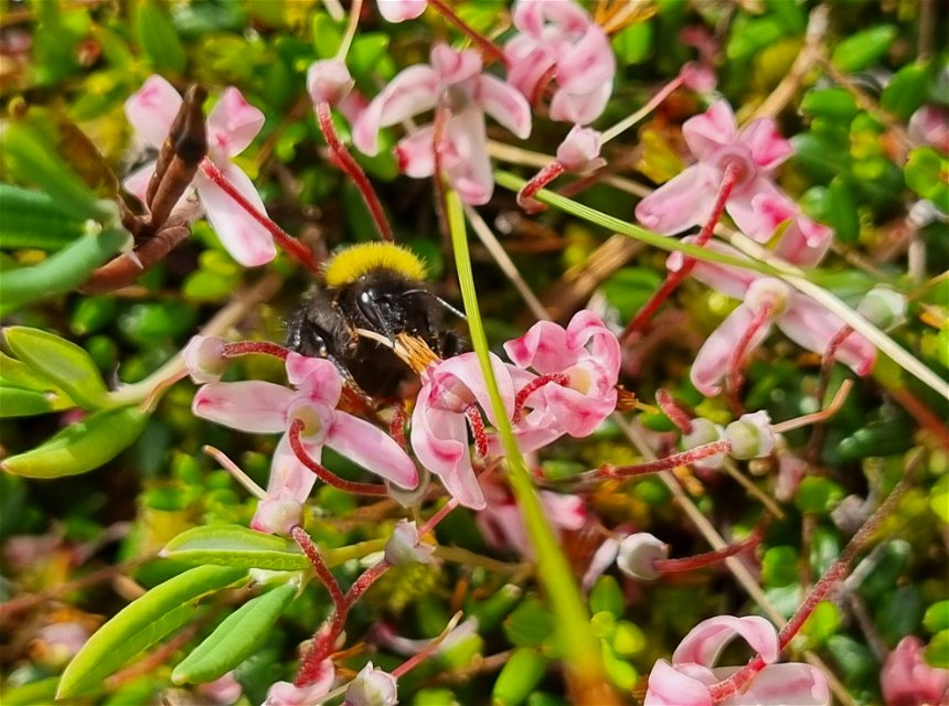
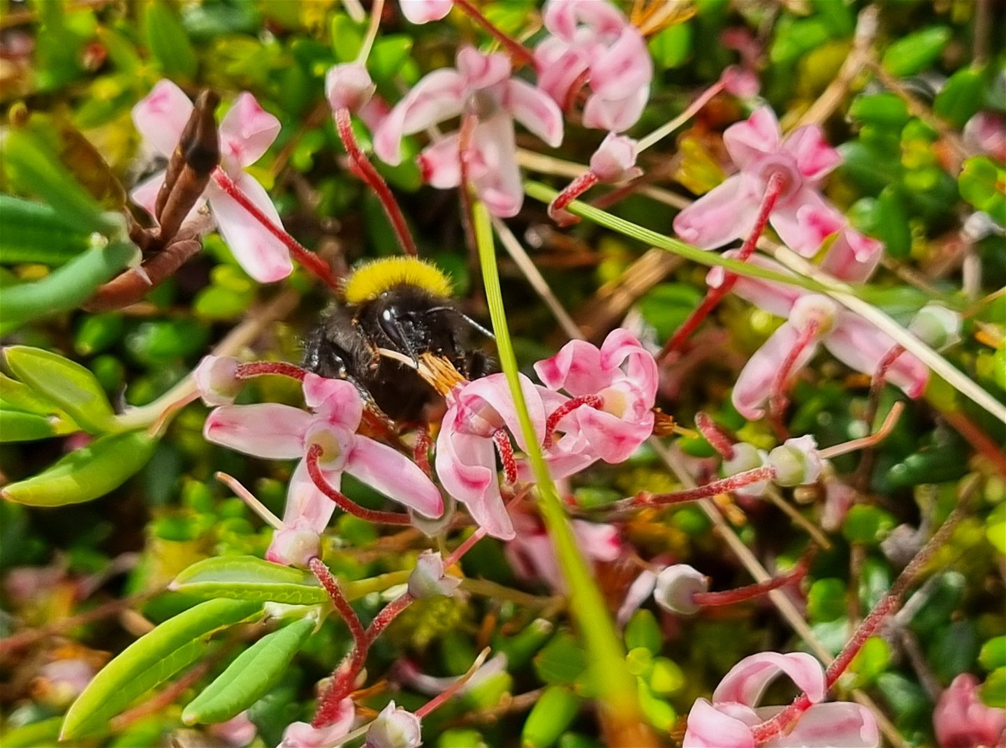
different types of plants who thrive in and around mires, such as Heath Spotted
Orchid, cloudberries, cranberries, etc.
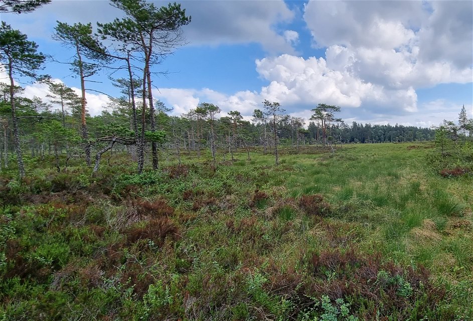
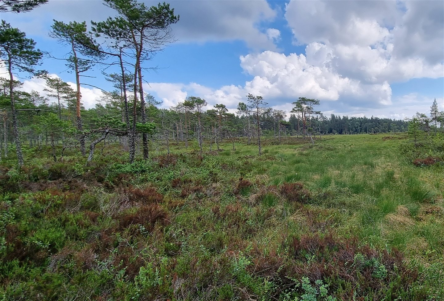
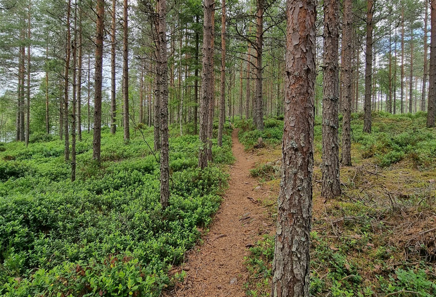
Reaching the tarn Stenstjärnet, the circular trail starts and follows the shore straight south through pine forest. At the south end of the tarn you see the vast mire Sundsmossen to the southeast.
Going west, there is a slight increase in altitude and the trail goes north on a ridge, taking you inbetween the two tarns Stenstjärnet and Abborrtjärnet west of you. Crossing the stream between them, you might want to leave the trail for a peak at Abborrtjärnet.
Once back on the trail, you head north. If visiting the area in June-July, the purple marshlock and tufted loosestrife are normally in bloom. After another duck board passage across the mire Stenstjärnsdulpan the trail leads to the spacious wind break by the northern shore of the tarn, with a stunning view.
Reittiohjeet
Parking
space, Mangskog,
latitude 59.775629, longitude 12.713018
At the parking space you see the engraved stone with the signatures of the Duke
and Duchess, marking the start of the hiking trail.
Asetukset
In the nature reserve it is prohibited to:
- gather or harm invertebrates, such as beetles, shells/mussels and butterflies,
- gather mosses, lichens and tree fungi, break branches, cut trees or in any other way harm living or dead trees, standing or fallen trees and bushes,
- driving motor vehicles, such as tractors, snow scooters (outside trails) and ATV/quad bikes,
- bring unleashed dogs,
- for schools and institutions to recurringly use the area for scientific or other surveys.
Ota yhteyttä
Sähköpostiosoite
Maila Länsstyrelsen Värmland
Organisaation logotyyppi

Huomaa, että osa näistä teksteistä on käännetty automaattisesti.
Kysymykset & vastaukset (Q&A)
Esitä kysymys muille Naturkartan-käyttäjille.

