
Motalarundan terränglöpningsspår (8 km) i Fålehagen
- Juoksu
- Kävely
- Vaellusreitit
- Lähellä pysäköintipaikkaa
- Lähellä wc:tä
- Pyörösilmukka
- Kunta: Östergötlands län
- 6731.07 km päässä sinusta
Polun yksityiskohdat
- Pituus 8.0 km
Toiminnot
Kuvaus
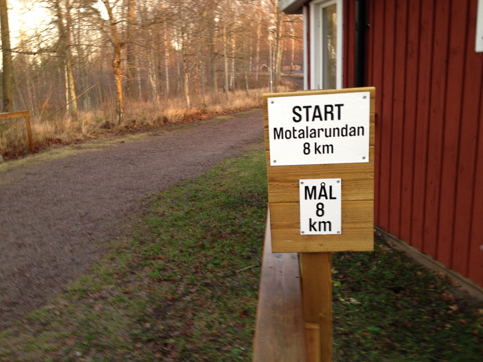
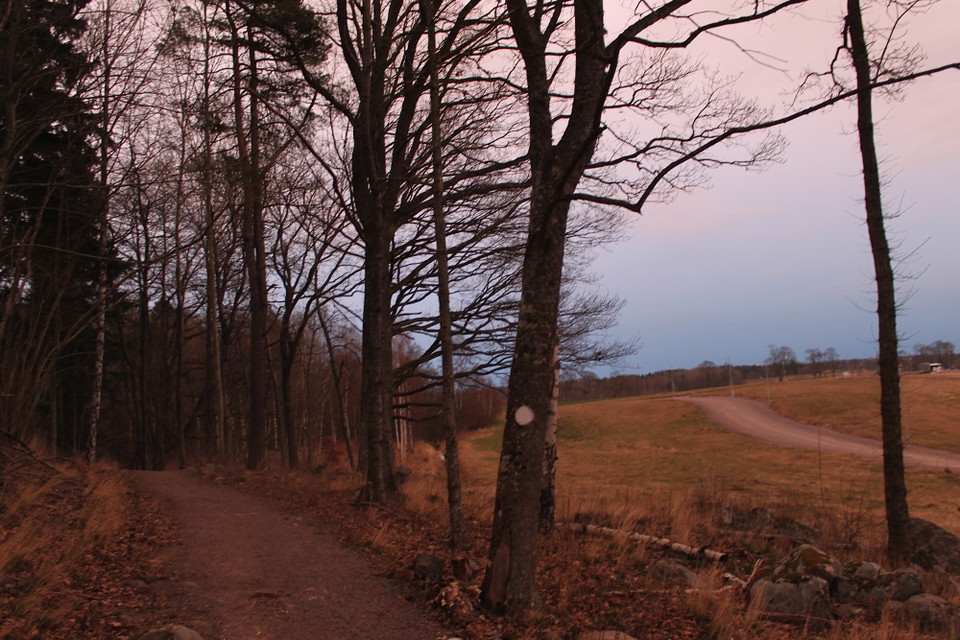
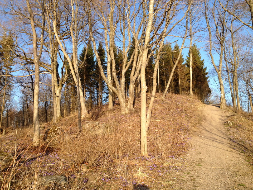
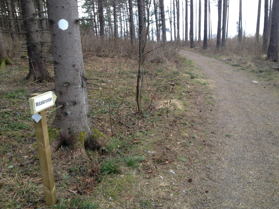
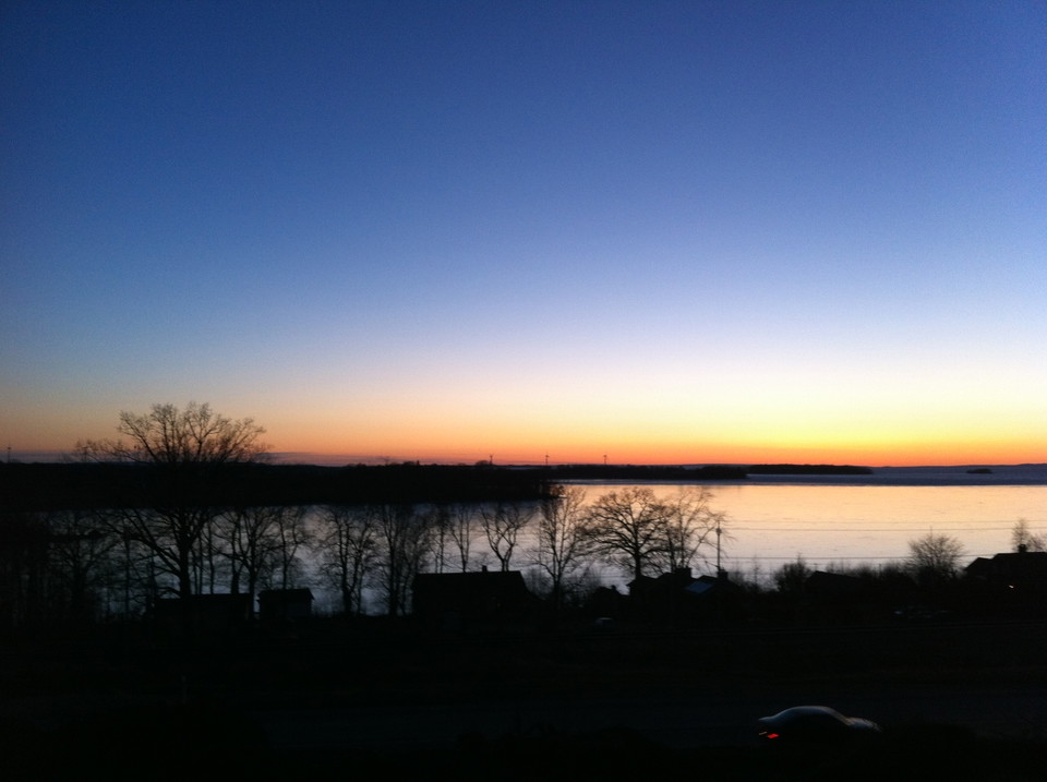
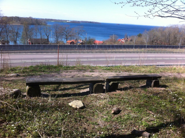
Motalarundan is an approximately 8 km long cross-country trail in Fålehagen with white markings. The trail is hilly and challenging with long slopes in varying natural environments. In the western part of Fålehagen you are rewarded with a very beautiful view of Lake Vättern. The start of trail is at Fålehagsstugan, but it is possible to enter the route e.g. at Vadstenavägen down from Motalabron, or from Södra Freberga. In parts of the trail, the route is shared with the mountain bike track.
Toimintaa ja tilat
- Kävely
- Juoksu
- Vaellusreitit
- Pyörösilmukka
Saavutettavuus
- Lähellä pysäköintipaikkaa
- Lähellä wc:tä
Yhteystiedot
Osoite
Kontakta mig om du har frågor om Motalas Naturkarta.
Sähköpostiosoite
Hilda-Linn Berglund
Organisaation logotyyppi

Olen ollut täällä 9





Haluan mennä tänne 6
Kysymykset & vastaukset (Q&A)
Esitä kysymys muille Naturkartan-käyttäjille.
Arvostelut
0 arvostelut
- 5 :
- 4 :
- 3 :
- 2 :
- 1 :
Käyttäjien kuvat
Käyttäjien kuvia ei ole vielä. Ole ensimmäinen, joka jakaa kuvan!
