Nyhet!

Nu kan du dela dina bilder på Naturkartan! 📸

Lue lisää

Nydalaleden, St. Birgitta Ways South

  • Pyhiinvaellusreitti
/5 tähteä

Polun yksityiskohdat

  • Pituus 150.3 km

Toiminnot

  • Reittiohjeet

Kuvaus

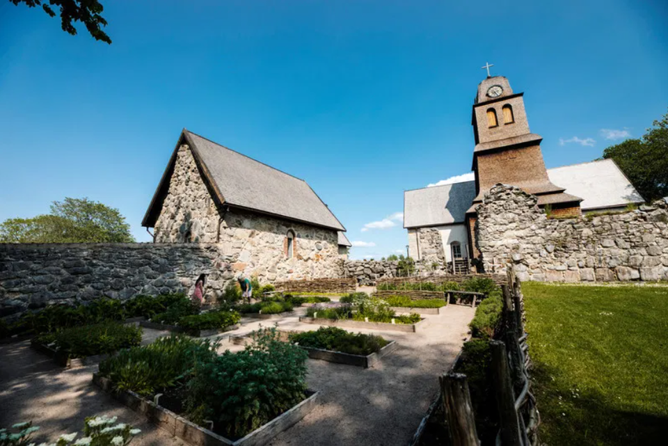
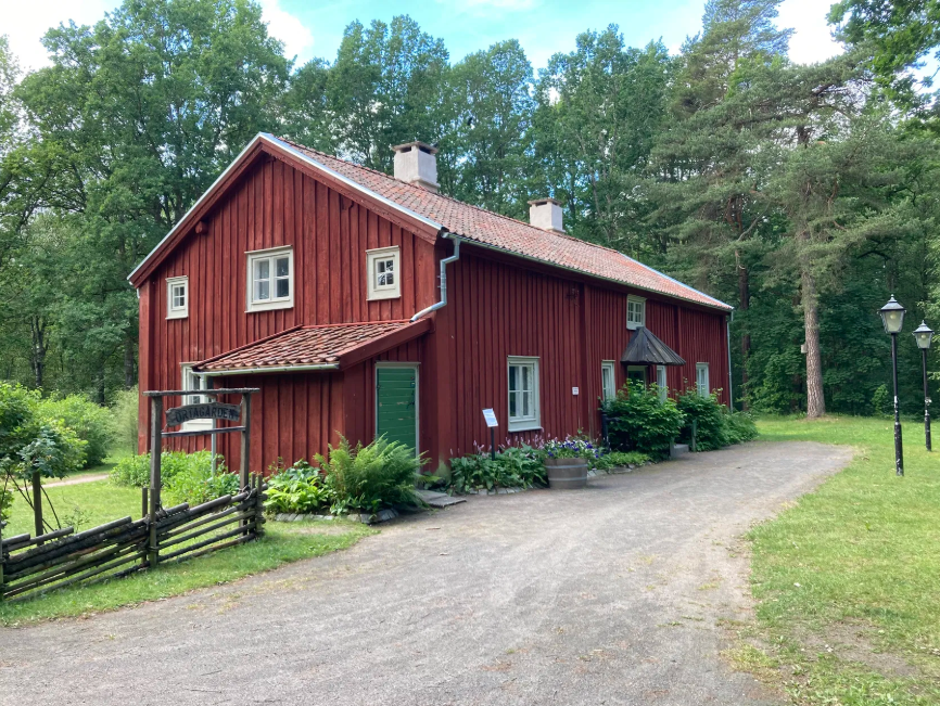
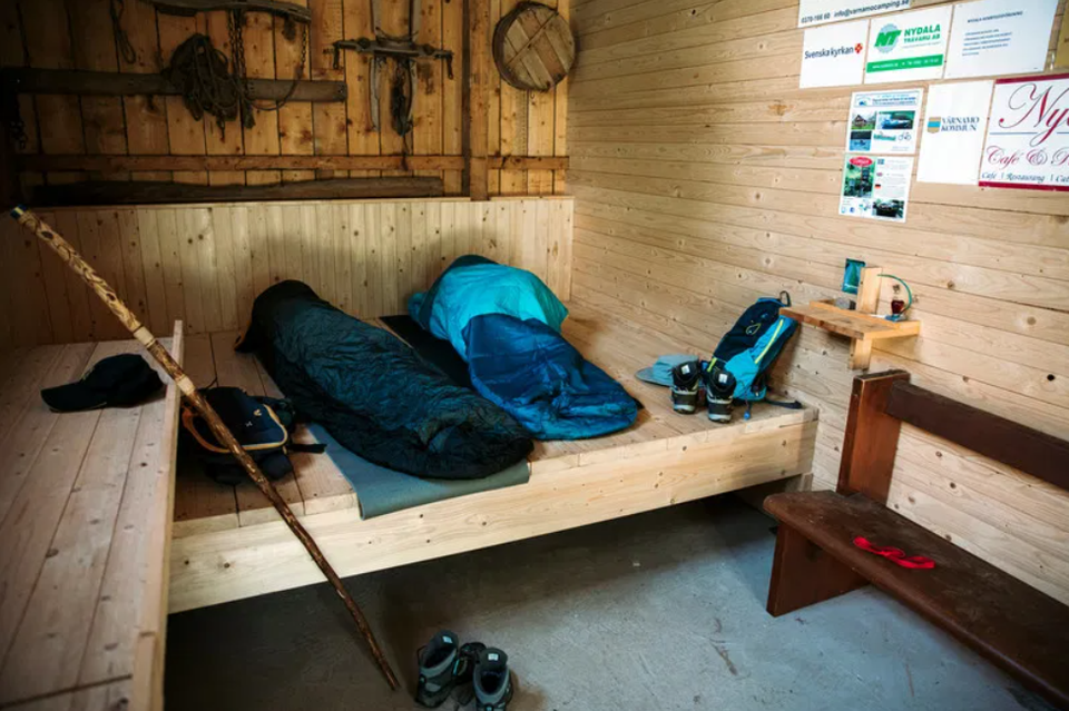
The Nydalaleden is a pilgrimage trail that follows the footsteps of the first people to populate Sweden – a road that has been continuously updated and transformed into both the National Road and the E4. The trail, which runs parallel to the Lagaån River for several stretches, passes many interesting ancient monuments and allows you to discover both small picturesque villages and forest and meadow land. The trail runs from the border with Skåne up to Nydala Abbey where it converges in a larger network of pilgrimage trails. The network nevertheless extends from Trondheim in Norway to Santiago de Compostela in Spain.

Sääennuste (klo 12.00)

Ladataan…

Tule tänne julkisilla liikennevälineillä

Toimintaa ja tilat

  • Pyhiinvaellusreitti

Lataukset

Yhteystiedot

Osoite

Har du frågor kring leddragningar eller intressepunkter på St. Birgitta Ways kartguide. Kontakta då pilgrimsutvecklare Emanuel Eriksson

Sähköpostiosoite

Linköpings stift, Svenska kyrkan

Olen ollut täällä

Haluan mennä tänne

Arvostelut

—

0 arvostelut

/5 tähteä

5 :
0.0%
4 :
0.0%
3 :
0.0%
2 :
0.0%
1 :
0.0%

Kysymykset & vastaukset (Q&A)

Esitä kysymys muille Naturkartan-käyttäjille.

Käyttäjien kuvat

Jaa kuvasi paikasta!

Naturkartan

Avaa tämä sovelluksessa