
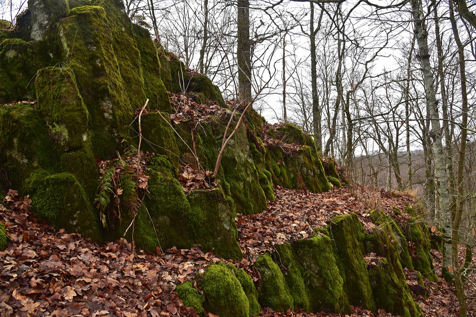
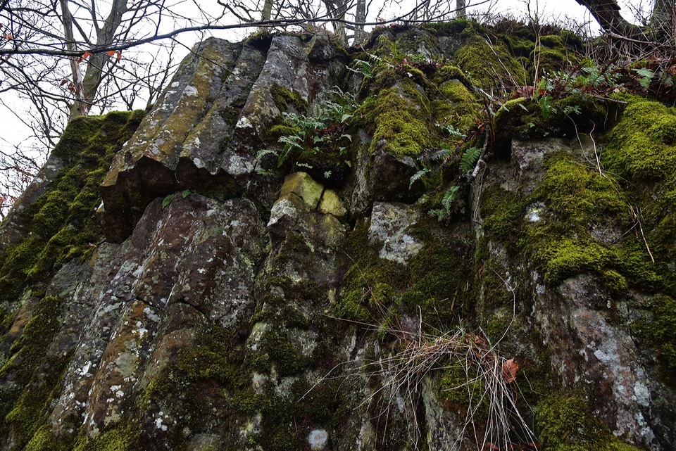
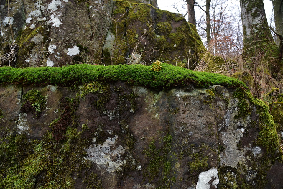
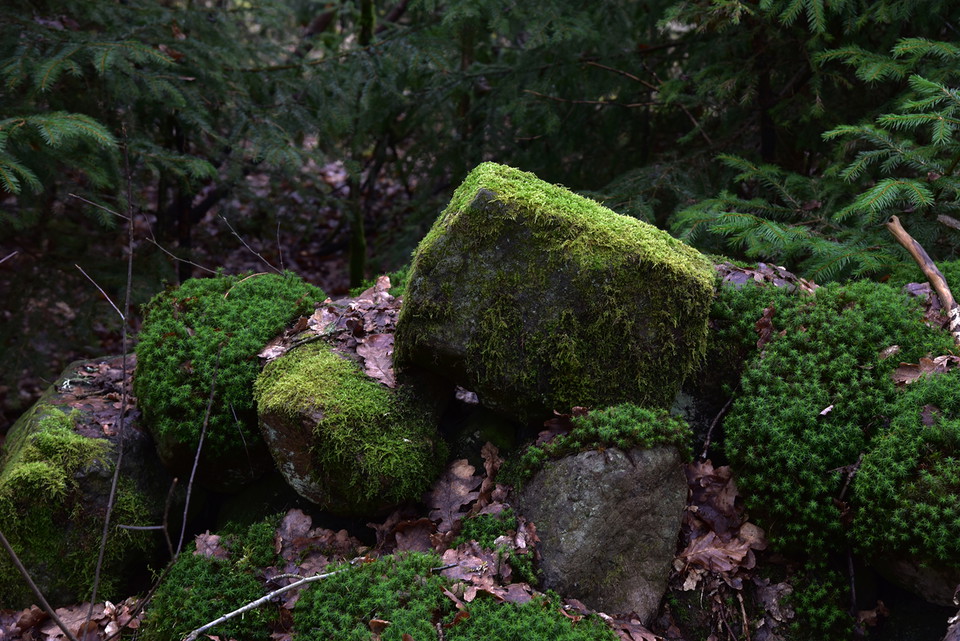
Juskushall vulkan Klippan
- Nähtävyys
- Tekemistä
- Arvokas luonto
- Kunta: Skåne län
- 6774.16 km päässä sinusta
Toiminnot
Kuvaus
Toimintaa ja tilat
- Tekemistä
- Arvokas luonto
- Nähtävyys
Reittiohjeet
Follow the road from Riseberga church towards Perstorp. When you have passed Bandsjön and a large brown wooden house on the left (just over 1 km from Riseberga), after another 500 meters you come to a crossing road. About ten meters after this "four-way intersection", a small dirt road goes down to the left. There is a wooden sign/arrow with Räfshalen on it. Park your car out here by the road.
Follow the dirt road on foot through the forest and wooded bog with peat ditches. After about 200 m the landscape opens up again and you are in the pasture (Räfshalen). Here you will see a sign for both Räfshalen and Juskushall. If you want to continue to Juskushall, follow the path to the left outside the fence. When you reach Juskushall you will see a sign for Ruveröd.
From road 108 between Spången and Hyllstofta turn off towards Värgapet east. Drive about 1 km, you see Östra Sorrödssjön on the left and after another 500 meters you drive over Ybbarpsån and immediately turn right after the river. You are now at Ruveröds kvarn. Park the car here and go back over the bridge and go left and follow the forest road straight ahead (NOTE not along the river) and the marked road a few hundred meters. Turn right up a path that takes you to a beech-covered hill. Follow the marked path down to a footbridge that crosses a wetland. The path passes dense forest before you reach the path that goes up to the right towards Juskushall and a signposted path goes left towards Räfshalen.
GPS coordinates:
RT90: X: 6220200, Y: 1344480WGS84: Lat N 56° 5′ 5″ Lon E 13° 18′ 24″Decimal: 56.0849, 13.3069
Asetukset
Älä kiipeä jyrkkiä, koska ne ovat huokoisia ja on olemassa riski bittien löystymistä.
Yhteystiedot
Sähköpostiosoite
Destination Rönne å och Ringsjön
Organisaation logotyyppi

Huomaa, että osa näistä teksteistä on käännetty automaattisesti.
Olen ollut täällä
Haluan mennä tänne
Arvostelut
—
0 arvostelut
- 5 :
- 4 :
- 3 :
- 2 :
- 1 :
Kysymykset & vastaukset (Q&A)
Esitä kysymys muille Naturkartan-käyttäjille.
Käyttäjien kuvat
Jaa kuvasi paikasta!
