• Foto: Tingsryds kommun
    Foto: Tingsryds kommun
  • Foto: Tingsryds kommun
    Foto: Tingsryds kommun
  • Foto: Tingsryds kommun
    Foto: Tingsryds kommun
  • Foto: Tingsryds kommun
    Foto: Tingsryds kommun
  • Foto: Länsstyrelsen i Kronobergs län
    Foto: Länsstyrelsen i Kronobergs län
  • Foto: Länsstyrelsen i Kronobergs län
    Foto: Länsstyrelsen i Kronobergs län

Vandringsled "Hackekvarnsnäs" - Hackekvarns naturreservat (orange)

  • Vaellusreitit
/5 tähteä

Polun yksityiskohdat

  • Pituus 1.7 km
  • Vaikeustaso Vihreä – yksinkertainen

Toiminnot

  • Reittiohjeet

Kuvaus

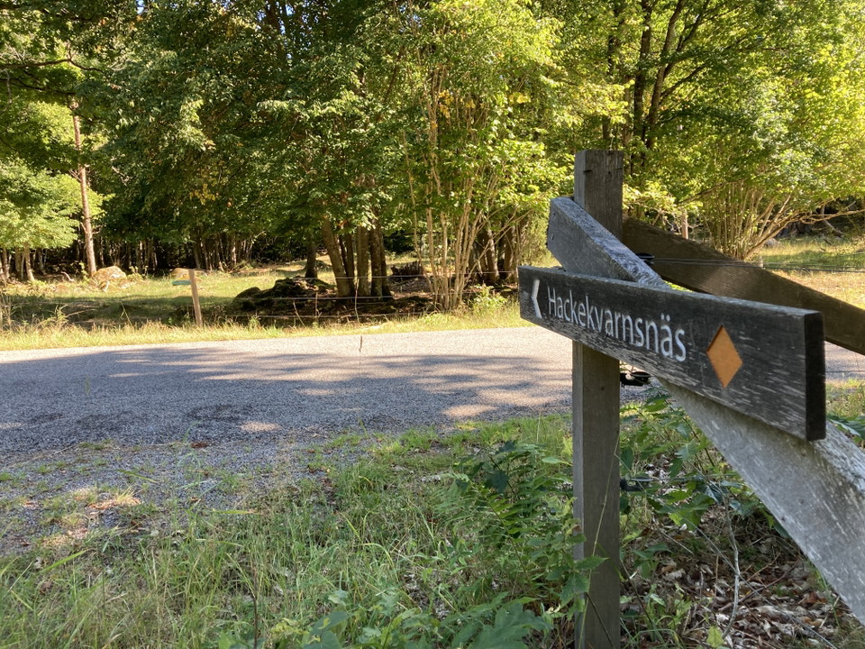
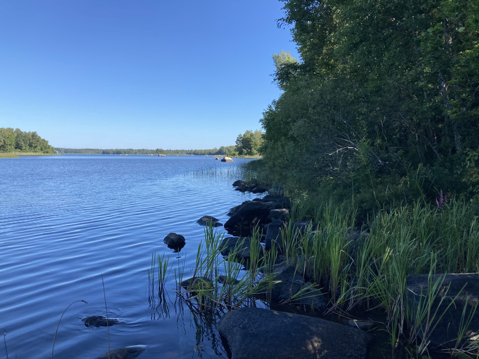
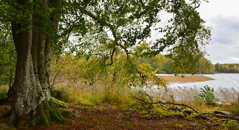
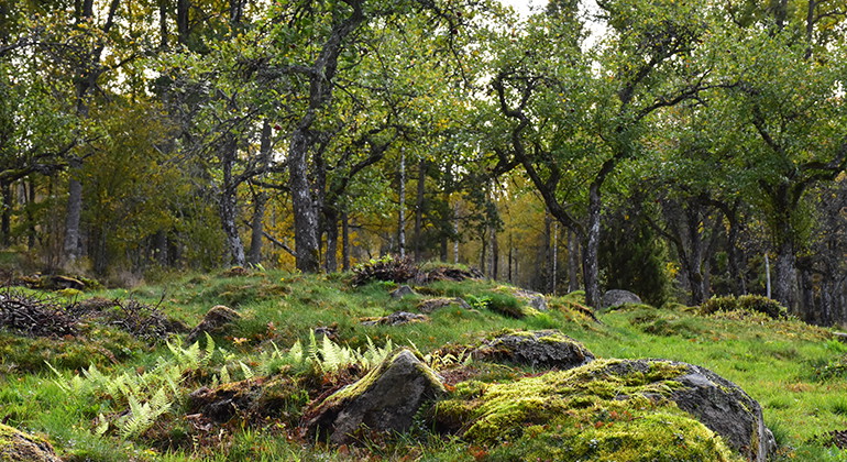
A beautiful hiking trail in the Hackekvarn nature reserve. Hackekvarn is located northwest of Urshult at Lake Åsnen's outlet in Havbältesfjorden. The reserve is 203 hectares in size and has been protected since 2012. The reserve contains several red-listed species of lichens, plants and fungi. The area has several cultural-historical remains and on Kungsholmen (Slottsholmen) there are remains of the ancient castle "Hacke slot" from the 14th century.

Length: approx. 1.7 kilometers

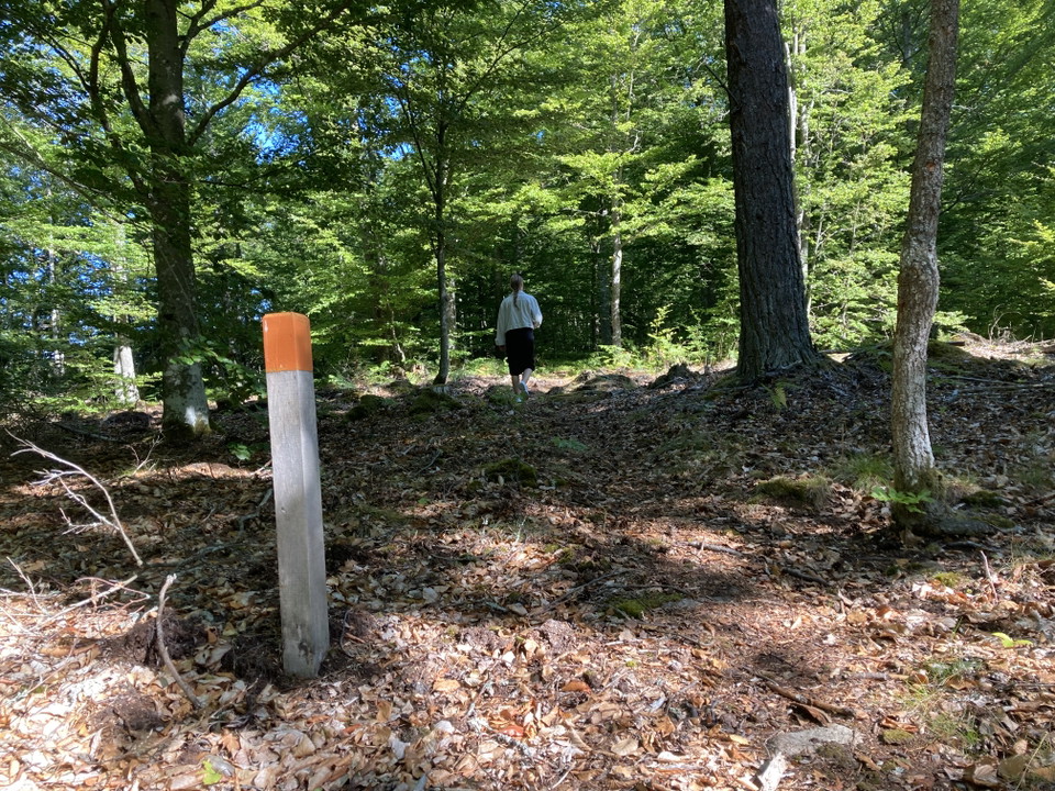
Trail markings in terrain: orange

Sääennuste (klo 12.00)

Ladataan…

Tule tänne julkisilla liikennevälineillä

Toimintaa ja tilat

  • Vaellusreitit

Pinta

Skogsstig

Yhteystiedot

Sähköpostiosoite

Olen ollut täällä 1

Haluan mennä tänne 5
Arvostelut

—

0 arvostelut

/5 tähteä

5 :
0.0%
4 :
0.0%
3 :
0.0%
2 :
0.0%
1 :
0.0%

Kysymykset & vastaukset (Q&A)

Esitä kysymys muille Naturkartan-käyttäjille.

Käyttäjien kuvat

Jaa kuvasi paikasta!

Naturkartan

Avaa tämä sovelluksessa