
-
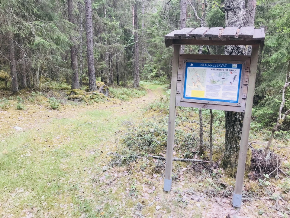
Kuva: Josefine Karlsson -
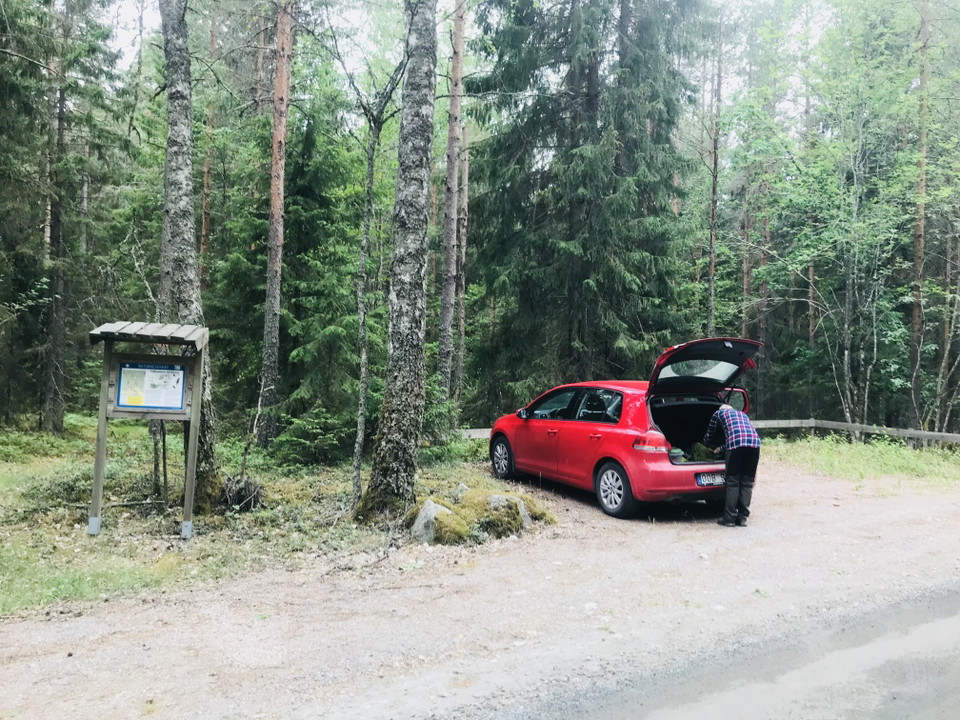
Kuva: Josefine Karlsson -
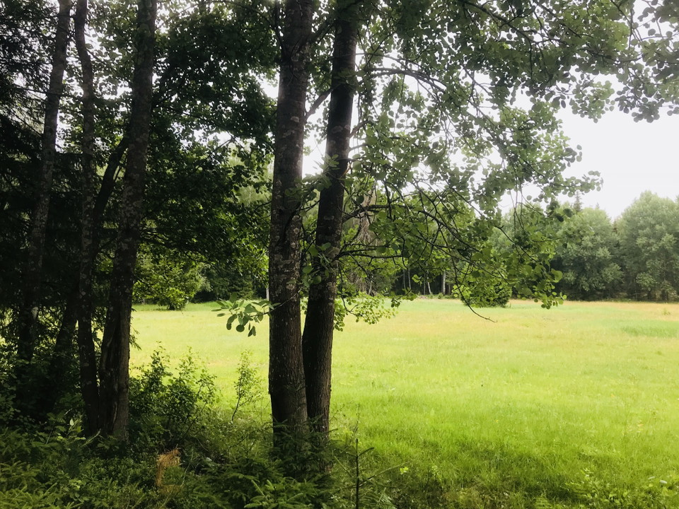
Kuva: Josefine Karlsson -
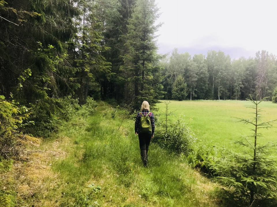
Kuva: Josefine Karlsson -
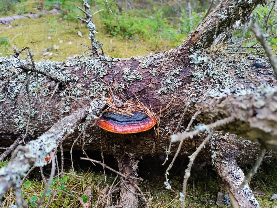
Kuva: Pia Lindahl -
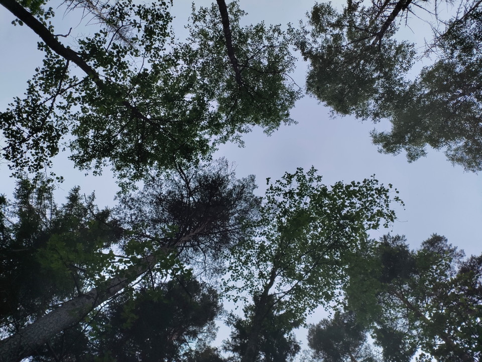
Kuva: Pia Lindahl -
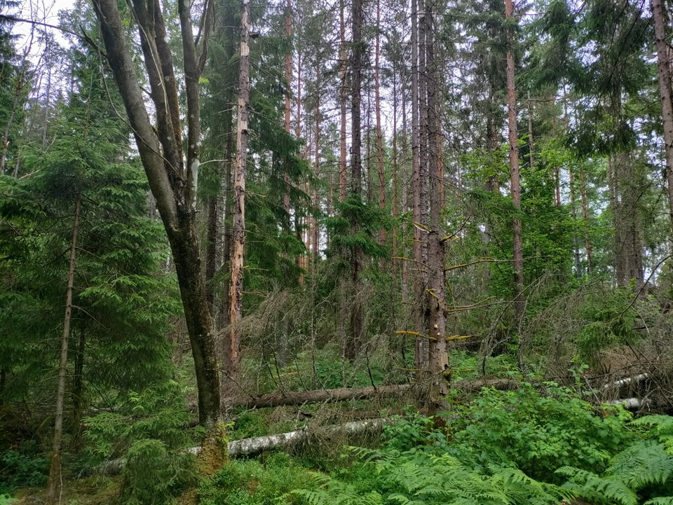
Kuva: Pia Lindahl
Ritorp
- Luonnonsuojelualue
- Lähellä pysäköintipaikkaa
- Kunta: Södermanlands län
Toiminnot
Kuvaus
Ritorpskogen offers a challenging hiking experience with moss-covered boulders, fallen tree trunks and really old pines and spruces. Despite the difficult terrain, visitors with sturdy boots and stamina can get a closer look at the old-growth forest and perhaps find the discreet orchid knotweed. A marked trail of about 1 km winds through the center of the area, making it easier to navigate between boulders and large trees.
The forest at Ritorp has developed without major felling since the 19th century, and the oldest parts consist of old pines and tall spruces. Here you can find the cauliflower fungus in the fall, which lives together with old pines, as well as the pine tick, which grows on older pine trunks. The abundance of dead wood with lying trunks and standing dry trees creates a habitat for many unusual mosses, fungi and insects. Birds such as the tufted titmouse also use the decaying trees for foraging and nest building.
Toimintaa ja tilat
- Luonnonsuojelualue
Saavutettavuus
- Lähellä pysäköintipaikkaa
Faktat
- Mitä? Suojelun vuosi ** 2006
Todellinen: 14,4 hehtaaria
Merkki:** Barrbland Forest
**Katrineholm
**Lääninhallitus
**Suojausalue: Luonnonsuojelualue
Pysäköinti
Reservillä on pienempi pysäköintialue. Lue lisää [Etelämaan verkkosivu](https:/www.lansstyrelsen.se/sodermanland/besoksmal/nature Varaus/alue-html)
Reittiohjeet
Reservi sijaitsee noin 4,7 kilometriä pohjoiseen Julian kirkosta. Lue lisää [Etelämaan verkkosivu](https:/www.lansstyrelsen.se/sodermanland/besoksmal/nature Varaus/alue-html)
Asetukset
The nature reserve has special rules for visitors.
It is forbidden to:
- break branches, cut down or otherwise damage living or dead standing and fallen trees and bushes
- capture and collect invertebrates in such a way as to damage or destroy their biotopes or reproductive habitats
- damaging, picking or collecting plants or plant parts. However, berries, edible mushrooms and flower picking for personal use are allowed
- put up a board, poster, poster, sign or make an inscription.
- organize camp activities without the permission of the County Administrative Board.
- organize competitions without the permission of the County Administrative Board.
Yhteystiedot
Osoite
Kontakta kommunikationsavdelningen om du har frågor om Katrineholms naturkarta.
Vill du felanmäla något som du har upptäckt i naturen? Gör din anmälan i vår app Felanmälan Katrineholm som du hittar i din appbutik, eller via www.katrineholm.se/felanmalan
Sähköpostiosoite
Kommunikationsavdelningen
Organisaation logotyyppi

Huomaa, että osa näistä teksteistä on käännetty automaattisesti.
Olen ollut täällä 4


Haluan mennä tänne 9

Kysymykset & vastaukset (Q&A)
Esitä kysymys muille Naturkartan-käyttäjille.
Arvostelut
0 arvostelut
- 5 :
- 4 :
- 3 :
- 2 :
- 1 :
Käyttäjien kuvat
Käyttäjien kuvia ei ole vielä. Ole ensimmäinen, joka jakaa kuvan!
