
-
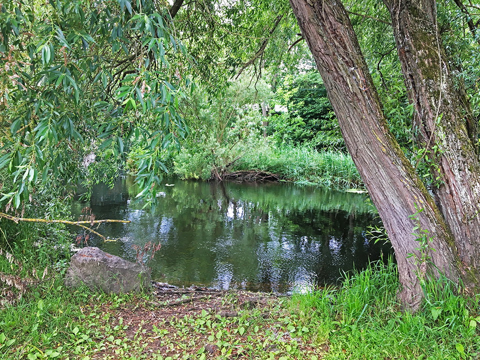
Kuva: Ivar Sjögren
Hälsans stig - Kävlingeån
- Vaellusreitit
- Kunta: Skåne län
- 6778.71 km päässä sinusta
Polun yksityiskohdat
- Pituus 6.2 km
Toiminnot
Kuvaus
Yellow marking = Health Trail, regular route.Blue marking = Shortcuts and connecting routes for the Health Trail.

Hälsans stig by Kävlingeån is a hiking trail through the center of Kävlinge and the eastern part of Furulund that offers fine and beautiful nature experiences on both sides of the river. Along the way there are benches to rest on and also nice fishing piers. The circular route's surface is gravel and asphalt and is suitable for both walking and running. If you arrive by bike or car, you can join anywhere you like, as it is possible to start anywhere along the trail. Hälsans stig is six kilometers long in its entirety, but you can choose to walk shorter or longer distances. There are several parking lots in the immediate area. People have lived by the river for thousands of years. Exciting events have taken place here, not least a bloody battle about 1000 years ago. In addition to its recreational opportunities, the Kävlinge River has thus also been of great importance for the historical development of the village. Hälsans stig in Kävlinge was initiated and co-financed by Leader Lundaland through the project "1000 years along the river";
Toimintaa ja tilat
- Vaellusreitit
Yhteystiedot
Osoite
Det är kommunen som skapar och sköter om Hälsans stig. Men det är Riksförbundet HjärtLung som står bakom konceptet. Mer information, besök hjart-lung.se
Sähköpostiosoite
Riksförbundet HjärtLung
Organisaation logotyyppi
Olen ollut täällä 1
Haluan mennä tänne 8



Kysymykset & vastaukset (Q&A)
Esitä kysymys muille Naturkartan-käyttäjille.
Arvostelut
1 arvostelu
- 5 :
- 4 :
- 3 :
- 2 :
- 1 :
Käyttäjien kuvat
Käyttäjien kuvia ei ole vielä. Ole ensimmäinen, joka jakaa kuvan!

Bra skyltat!