
-
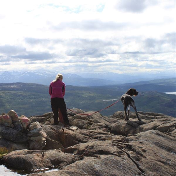
Kuva: Visit Hemavan Tärnaby -

Kuva: Visit Hemavan Tärnaby -
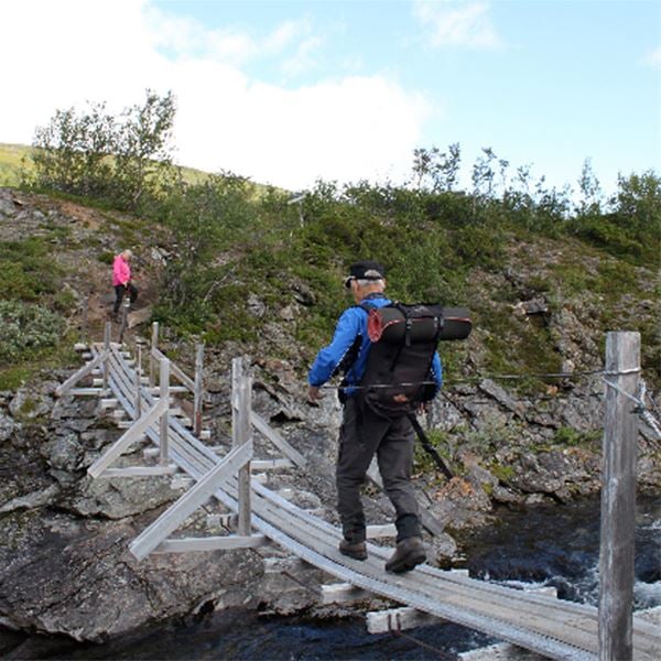
Kuva: Visit Hemavan Tärnaby -
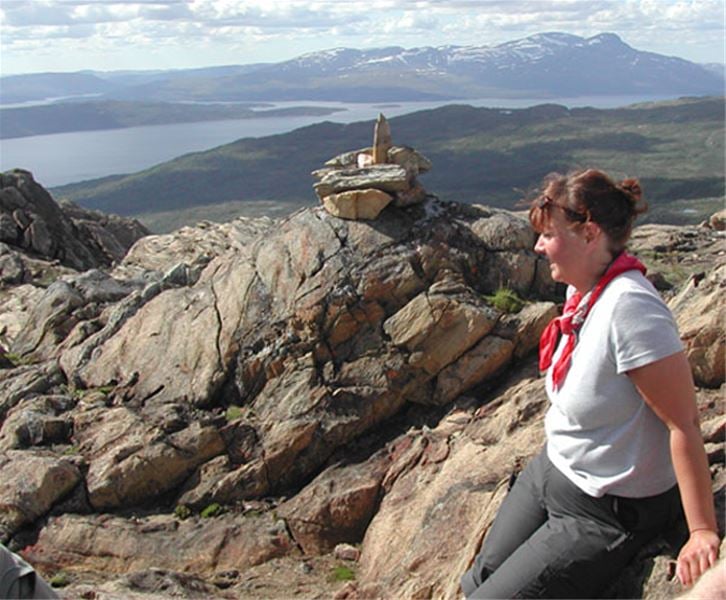
Kuva: Visit Hemavan Tärnaby -
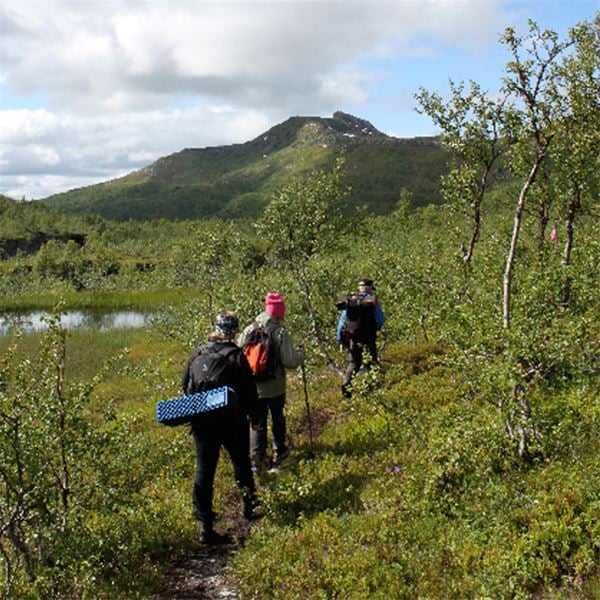
Kuva: Visit Hemavan Tärnaby
Gryttind
- Vaellusreitit
- Kunta: Nordland
- 6333.84 km päässä sinusta
Polun yksityiskohdat
- Pituus 3.0 km
Toiminnot
Kuvaus
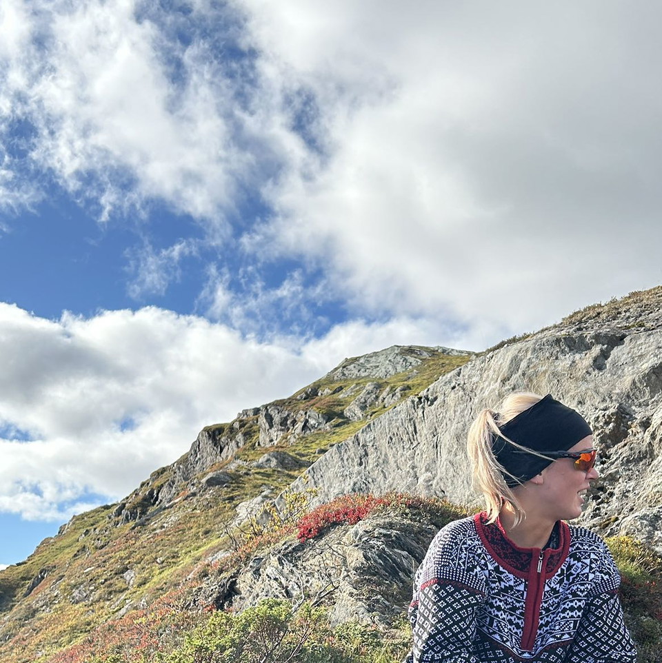
A peculiar mountain with a fantastic view in our neighboring country Norway.
Toimintaa ja tilat
- Vaellusreitit
Faktat
The path is marked from the parking lot at the entrance to the fish farm. Follow the path down towards Krutvasselva. There is a suspension bridge over the river in summer. Once you have crossed the bridge, there are clear signs pointing towards Hjeltfjellvatn and towards Gryttind. Gryttind to the left and Hjeltfjellvatn straight ahead.
The Gryttind trail follows the river downstream for a few kilometers before it turns uphill. Before the ascent begins, the trail passes over a large stream, Hjeltfjellbäcken, the stream must be waded across (previously there has been a footbridge). The hike then climbs upwards and becomes increasingly steep the last bit up to the top.
The actual summit of Gryttind is 892 meters above sea level with a fantastic view in all directions. The hike up to Grytindstoppen is 3 kilometers one way and 299 meters of altitude.
HJELTFJELLVATNET
For those who want a longer hike in the mountains, there is a signposted and marked trail at the foot of Gryttind, northeast towards Hjeltfjellvatnet. A nice walk of approx. 2.5 km in easy mountain terrain. Then follow the marked path that winds down the terrain in the company of the beautiful Hjeltfjell stream back to the parking lot.
Reittiohjeet
Sammuta E12 Västansjössä ja aja kohti Hattfjelldalia. Noin 25 km:n päässä Norjan rajalta jokea pitkin on parkkipaikka hieman kalastusviljelyn jälkeen. Tästä alkaa polku kohti Gryttind ja Hjeltfjellvatnet.
Asetukset
Jäljet ovat Norjassa, ja tämän digitaalisen näytön kartta on nähtävä vain osoituksena.
Yhteystiedot
Osoite
+46 (0)954-140 33
Sähköpostiosoite
Turistinformation Hemavan Tärnaby
Huomaa, että osa näistä teksteistä on käännetty automaattisesti.
Olen ollut täällä 1
Haluan mennä tänne 6

Kysymykset & vastaukset (Q&A)
Esitä kysymys muille Naturkartan-käyttäjille.
Arvostelut
0 arvostelut
- 5 :
- 4 :
- 3 :
- 2 :
- 1 :
Käyttäjien kuvat
Käyttäjien kuvia ei ole vielä. Ole ensimmäinen, joka jakaa kuvan!
