Källängen, Ljungbyholm
Kulttuuriympäristö
- Kunta: Kalmar län och Öland
- 6462.88 km päässä sinusta
Toiminnot
Kuvaus
Källängens walking paths
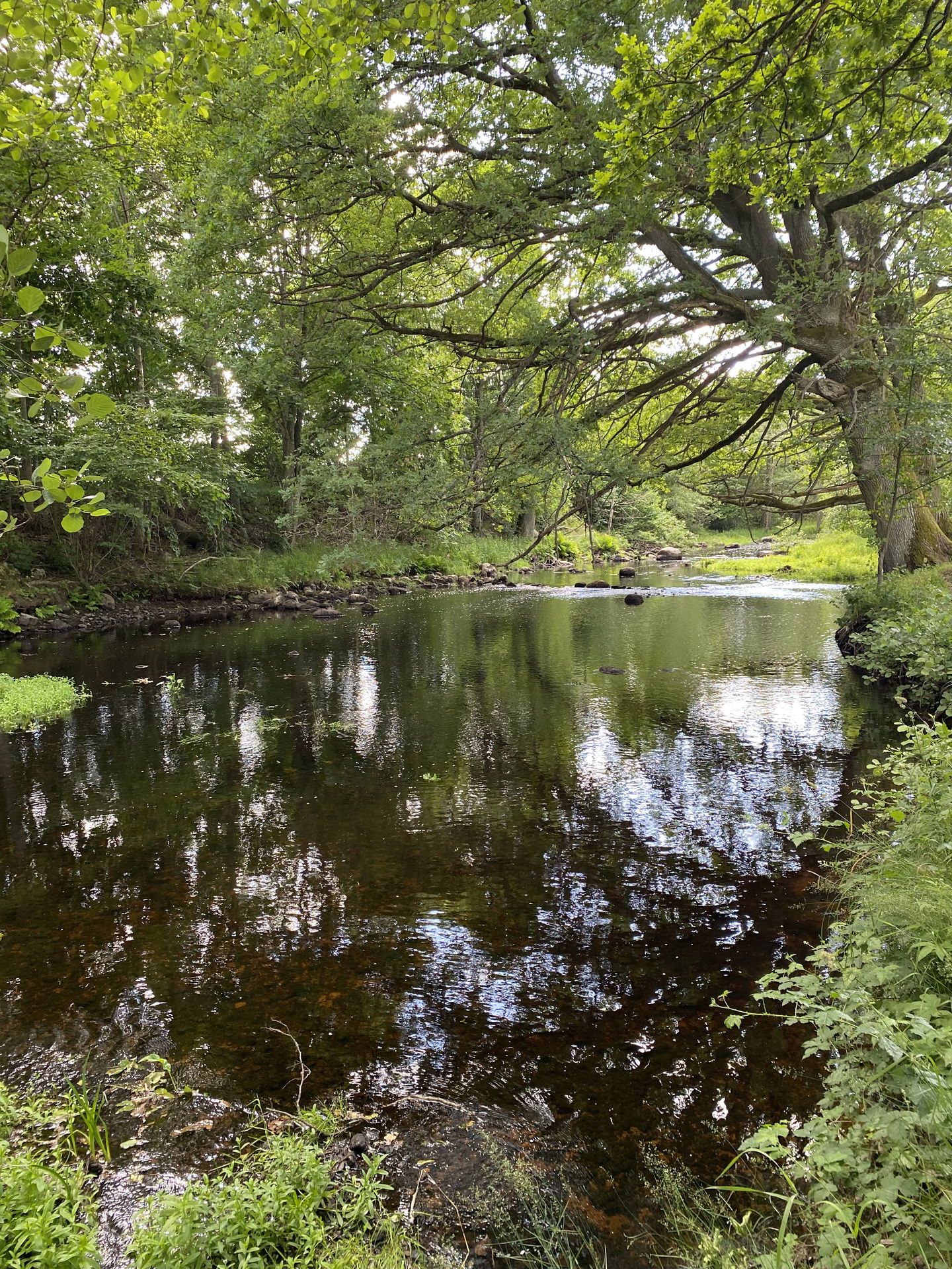
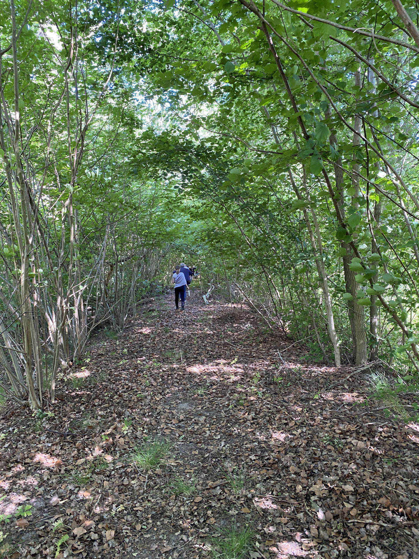
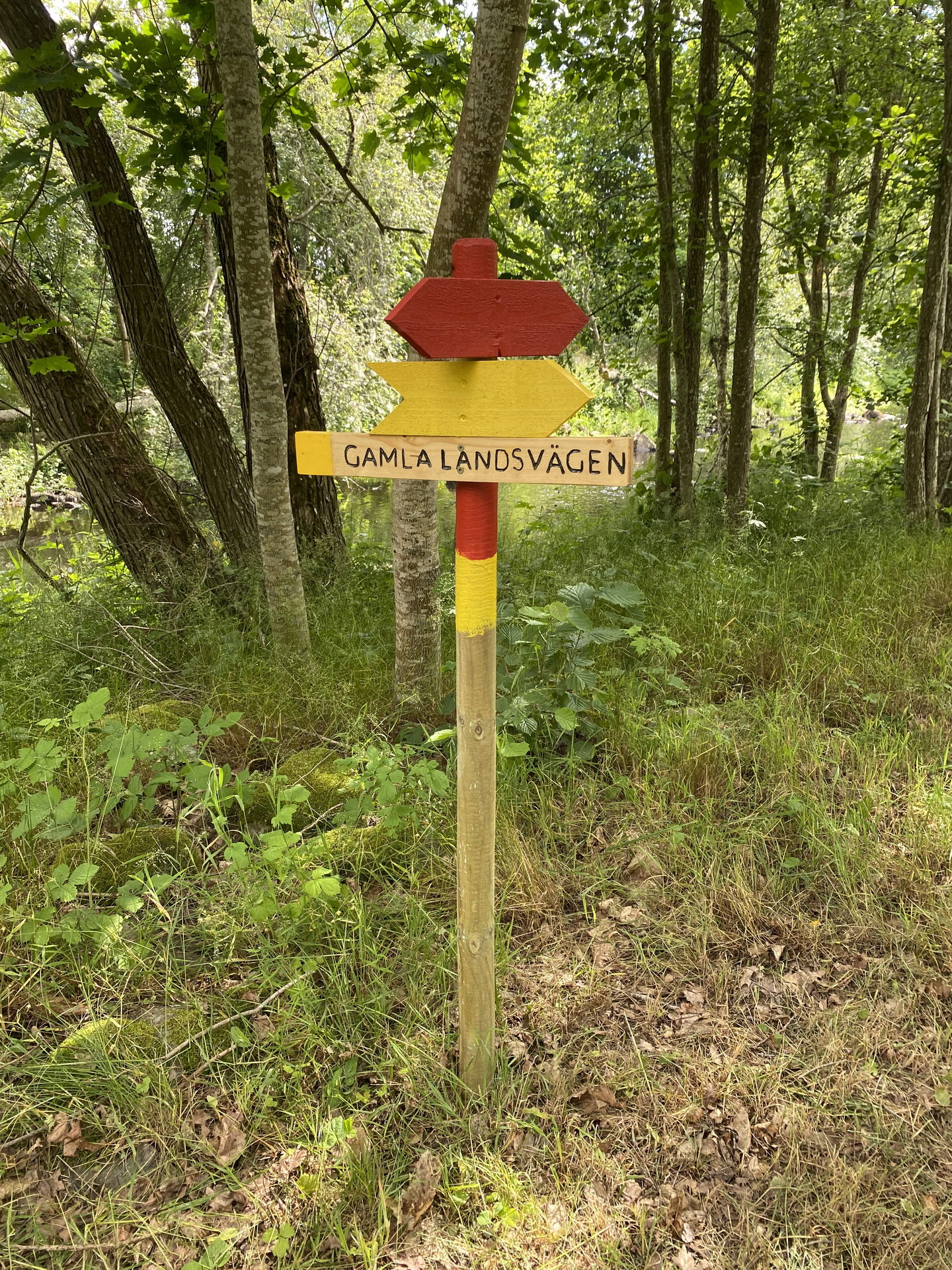
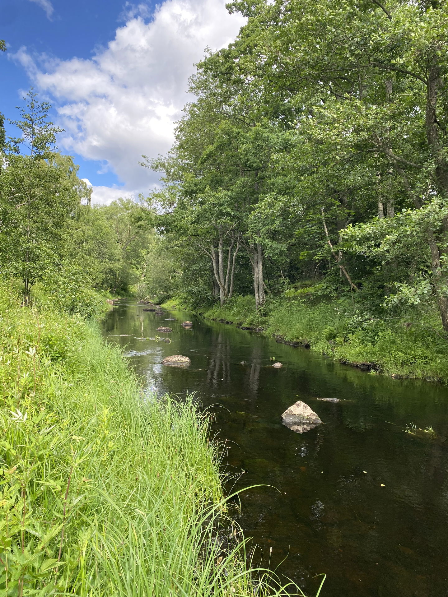
Källängen is part of the Ljungbyån walking trail. Here you can choose to walk a shorter loop of 1.5 kilometers by taking the yellow trail back along the old highway instead of continuing along Ljungbyån.
The yellow trail also serves as an alternative route in winter and early spring when Tomtebybäcken a bit into the trail is not passable due to high water levels.
Below you can read very briefly about what you can find in Källängen. On the page about Ljungbyåns vandringsled there is much more information and with the help of an interactive map you can explore the trail even before you set out!
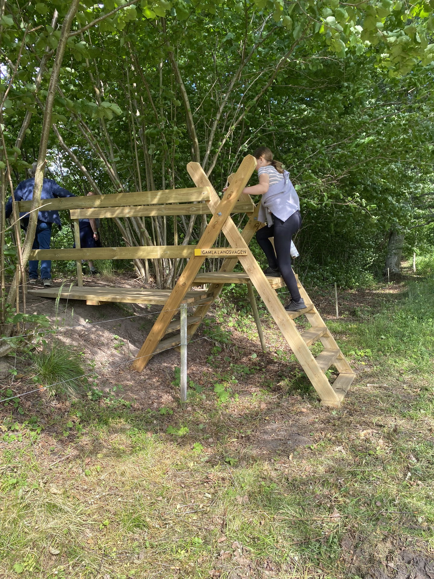
Gamla landsvägen
Ljungbyholm's old road runs like a ridge a few meters above the beach meadow. Until 1930, this old road was the main route between Kalmar and Ljungbyholm.
The beach edge
A stretch of about 500 meters has been restored with measures that have created new habitats for sea trout, bees and birds.
**The health spring
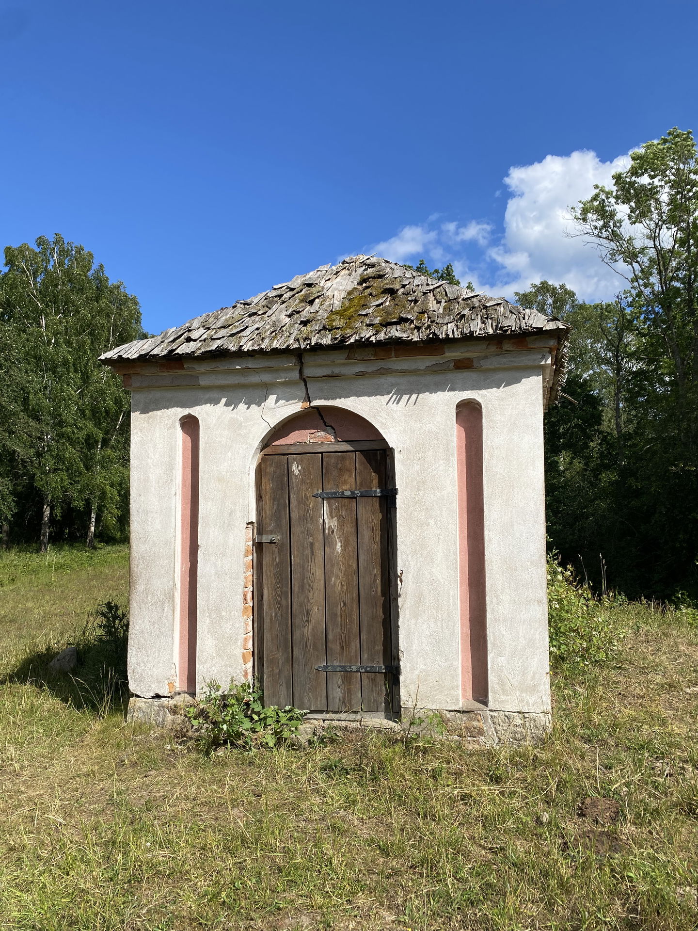
Along the Ljungbyån river there were several wells in the 18th and 19th centuries and in Källängen the spring still exists.
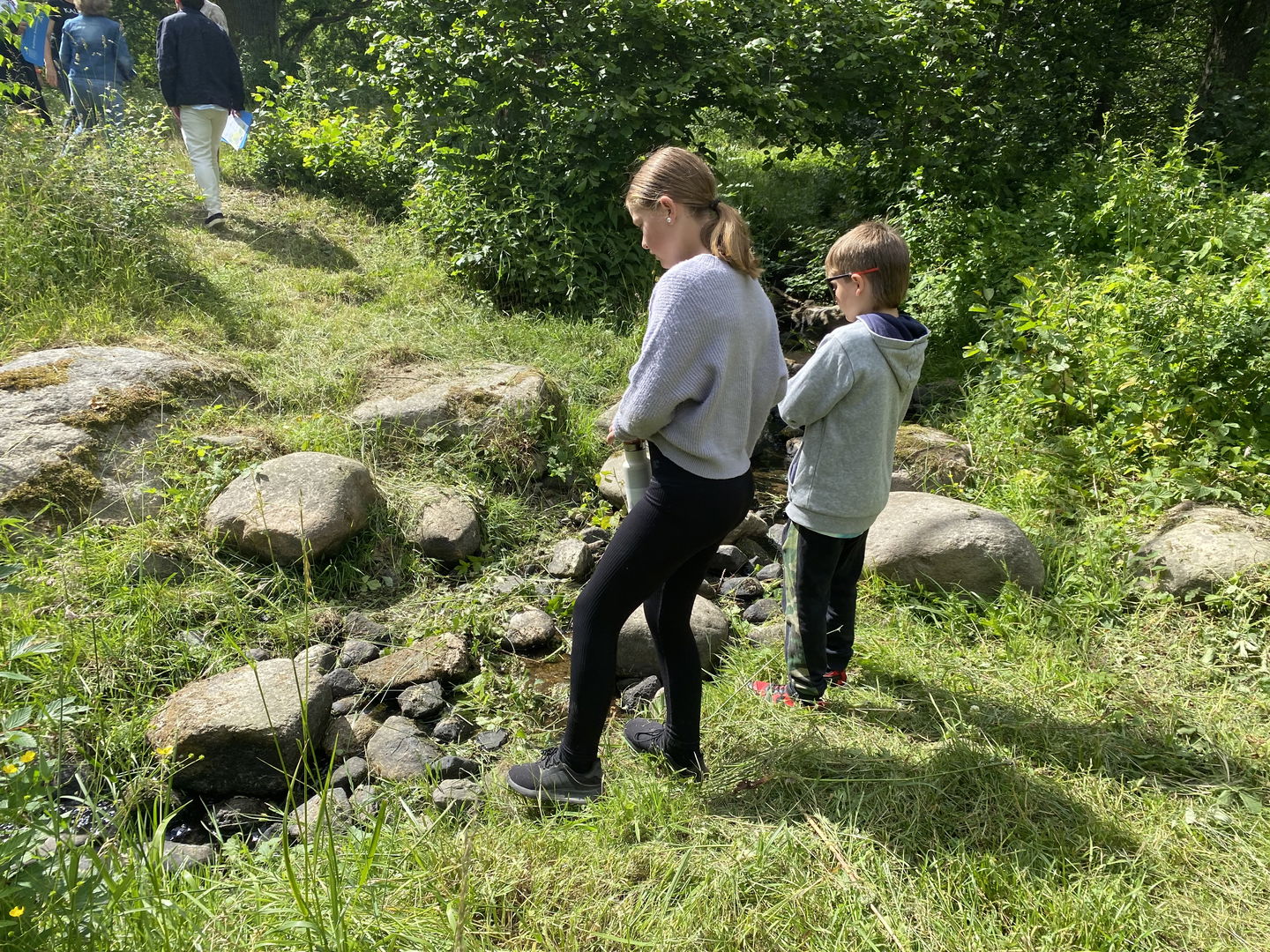
**Tomteby stream
Test your balance by jumping over the stones in Tomtebybäcken, which flows into Ljungbyån. If you look carefully, can you see fish or insects by the water?
**Kölby mill
The millstone is a remnant of Glysing's mills and reminds us of the many water mills that have existed in Ljungbyån since the Middle Ages. Flour from farms on Öland was ground here. The hydroelectric power station and the miller's house are still there.
Toimintaa ja tilat
-
Kulttuuriympäristö
-
Arvokas luonto
Ota yhteyttä
Sähköpostiosoite
Eva-Lena Larsdotter
Huomaa, että osa näistä teksteistä on käännetty automaattisesti.
Kysymykset & vastaukset (Q&A)
Esitä kysymys muille Naturkartan-käyttäjille.


