Segla ARK56
Kuvat
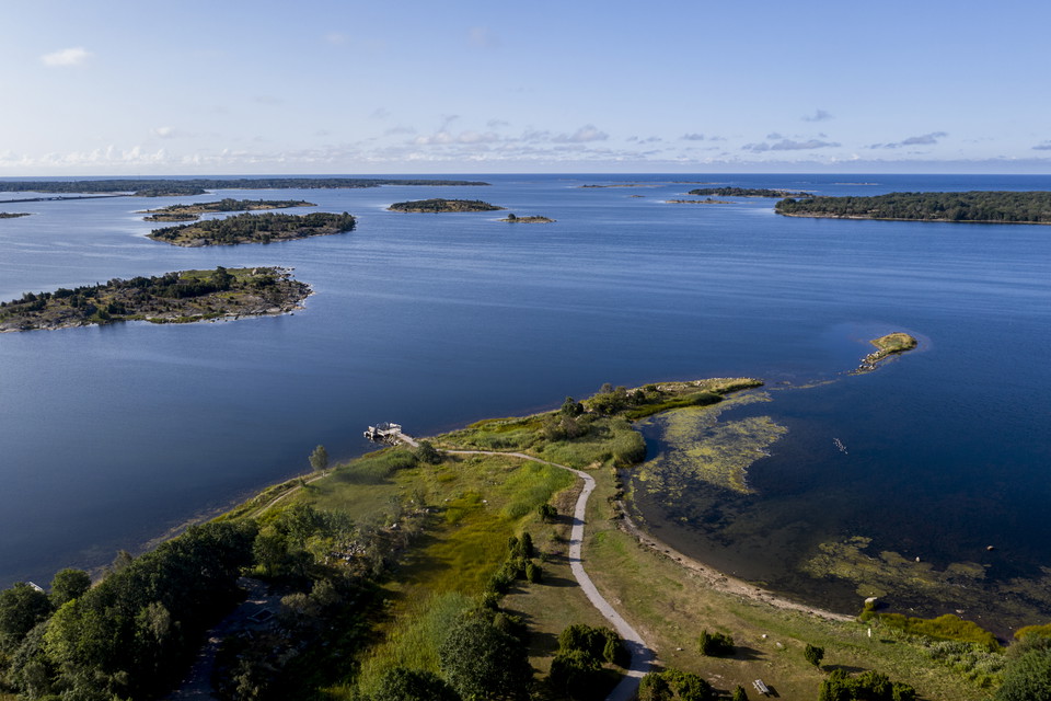
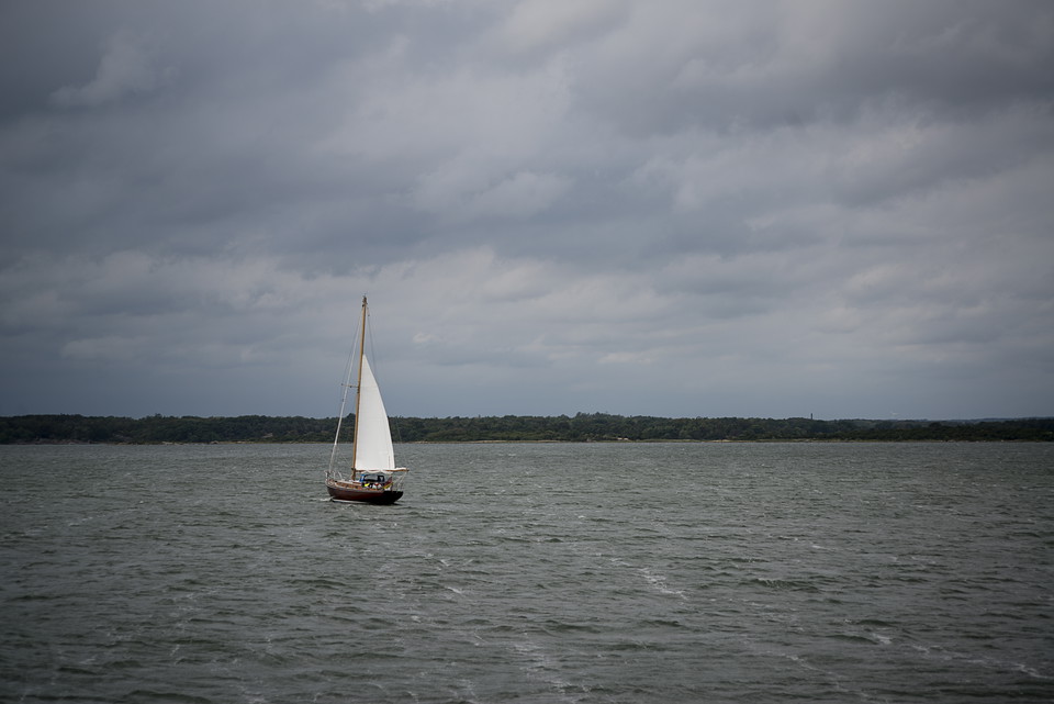
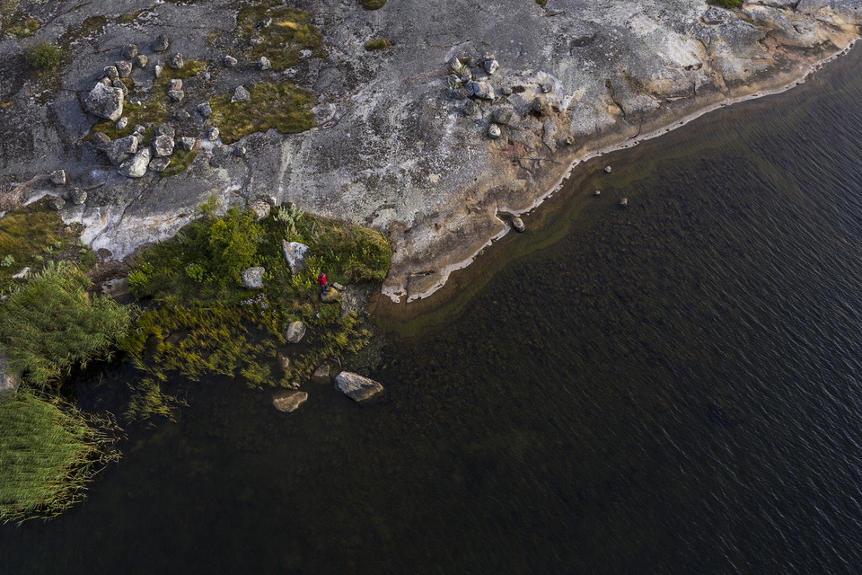
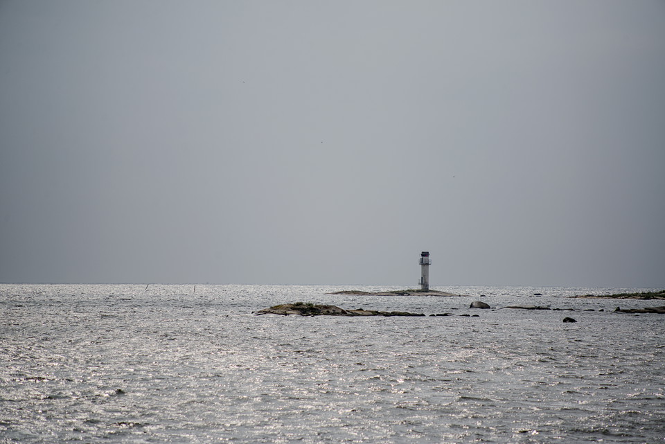
The ARK56 sailing trail is a recommended route that pilots you in between the islands and helps you to find peaceful natural moorings and an easy route through the unique Blekinge Archipelago, where the sea meets the forest and the islands have been grazed and farmed for thousands of years. The sailing trail connects to most of the 13 hubs in ARK56 so once you have tied up, there are excellent opportunities to extend the adventure on foot, by bike or by kayak. The ARK56 app takes over where the nautical chart ends, giving you advice and information on everything from protected species to top restaurants along the route.
Yhteystiedot
Osoite
Blekinge Arkipelag Kurpromenaden 4 372 36 Ronneby
Sähköpostiosoite
Team ARK56
Organisaation logotyyppi