


Finnleden Östra
Wandern
- Landkreis: Värmlands län
- 6549.25 km von Ihnen entfernt
Details zum Weg
- Länge 17.6 km
- Schwierigkeit Blau - mittel
Aktionen
Beschreibung
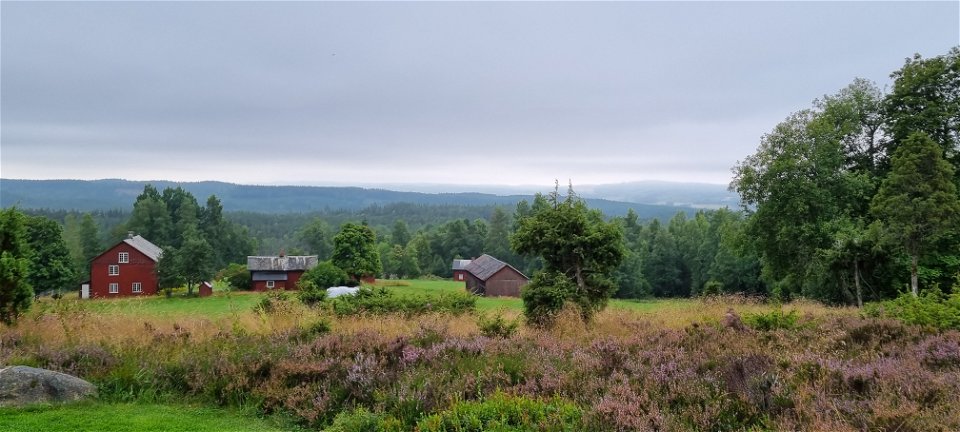
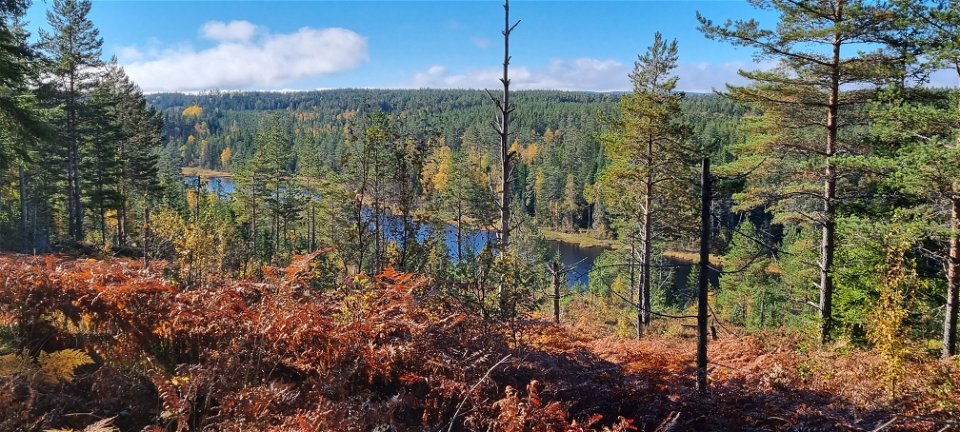
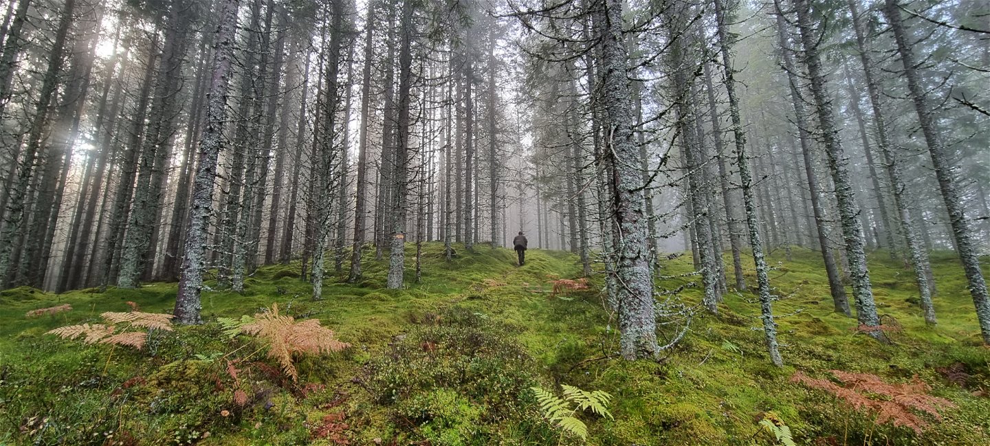
Finnleden is a system of trails in Mangskog of around 30 km, with three different starting points - in Slobyn, Tobyn and at the Mangskog church. From the north west at Bråtarna there is an access road of 1,2 km which at the Finn croft Porna connects to the stage starting in Slobyn. In the north the trails meet in one, continuing north to the Sunne border and the next trail system at Ängen.Via Tiskaretjärnsleden, Tischasslingan and Gruvrundan it is possible to continue into Arvika again, crossing the municipality border to Gunnarskog via Bruksleden.
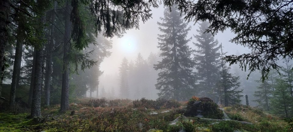
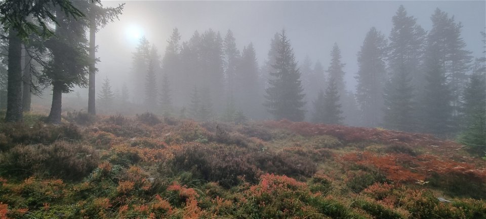
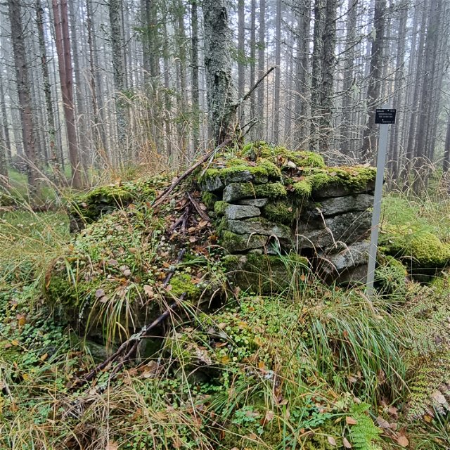
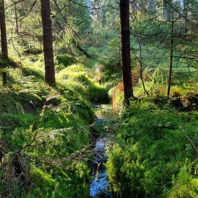
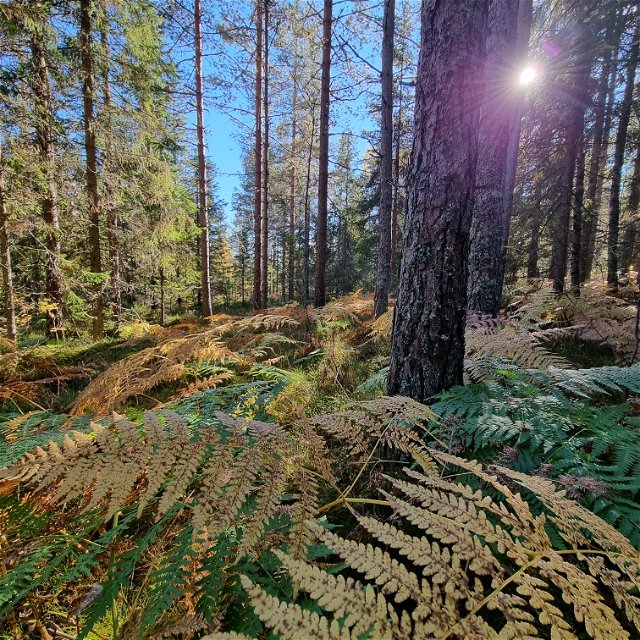
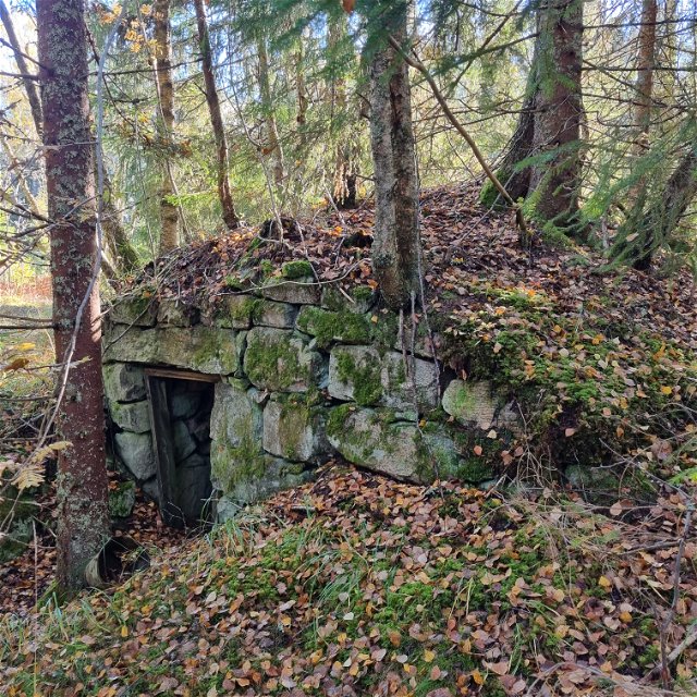
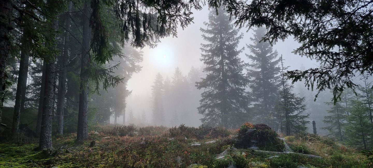
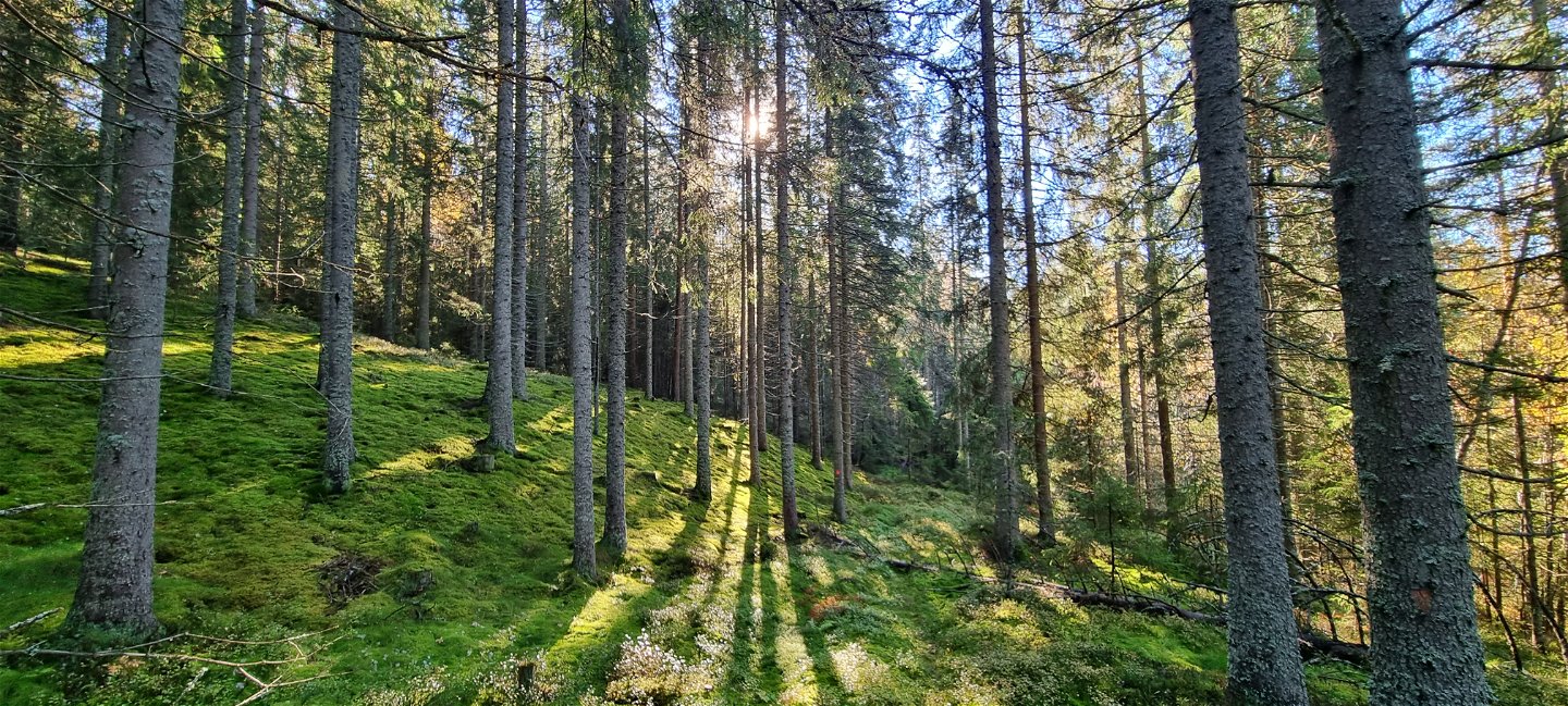
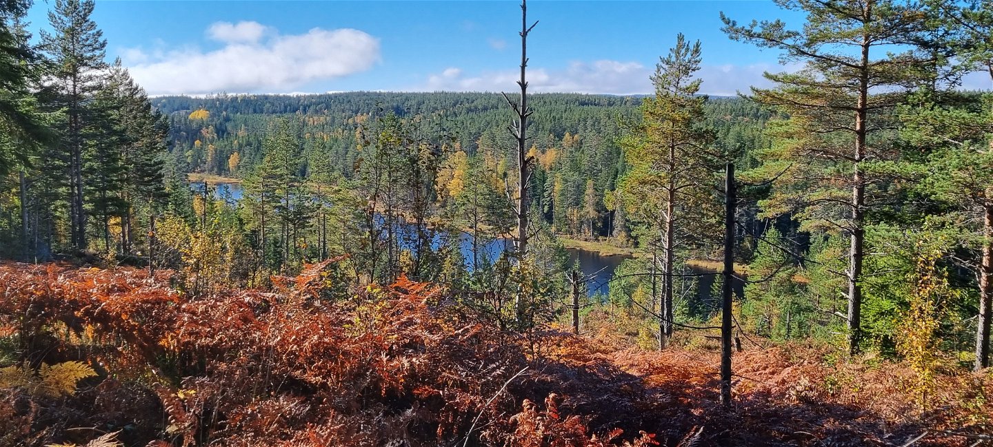
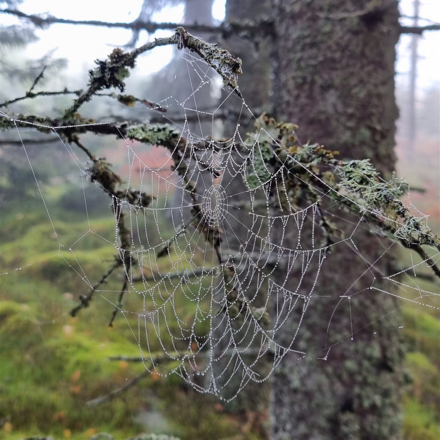
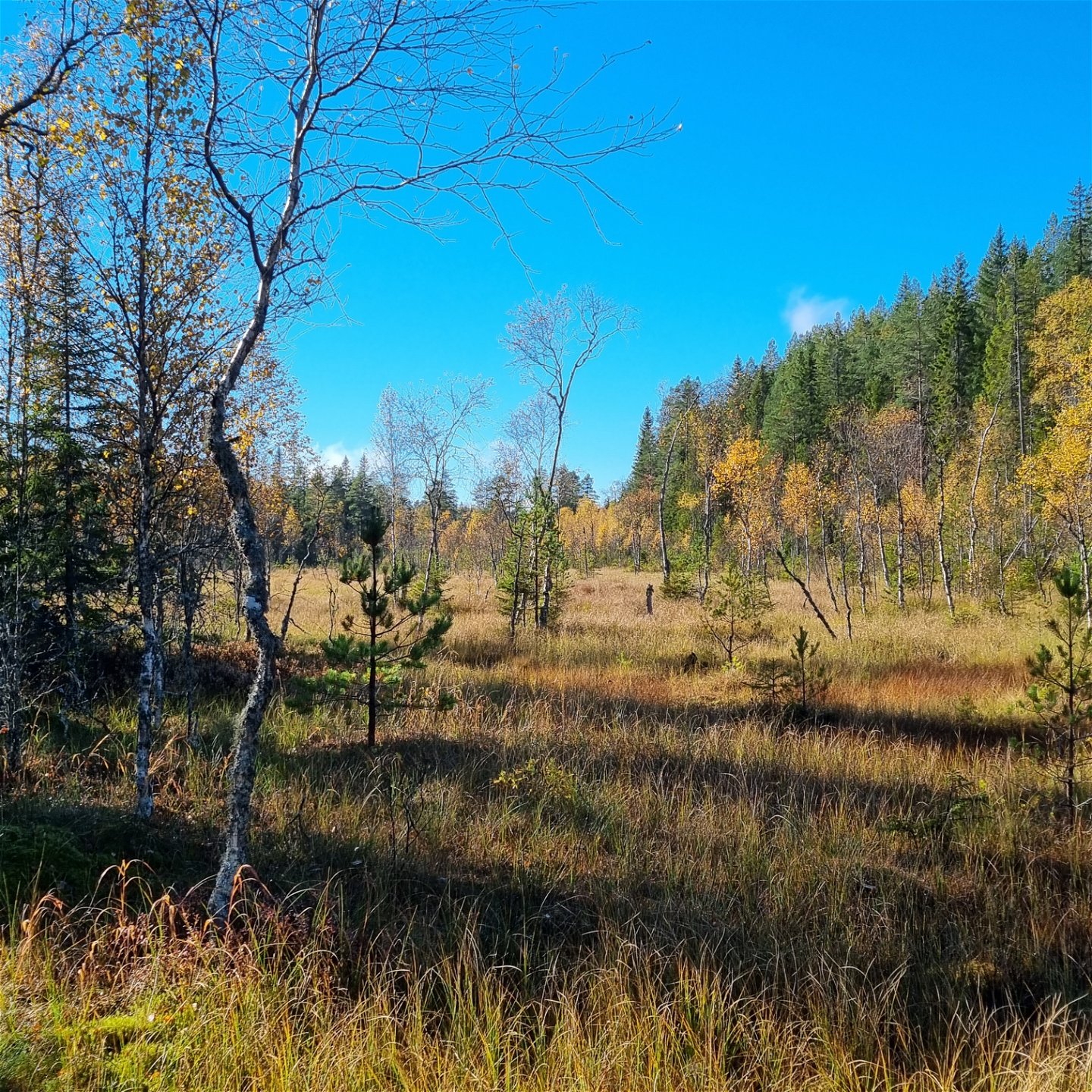
The area is characterized by wilderness spirit and beautiful nature. There are remains of Finn culture and historical forestry work.
A detailed trail description and a map are available as separate documents below.
Aktivitäten und Einrichtungen
-
Wandern
Oberfläche
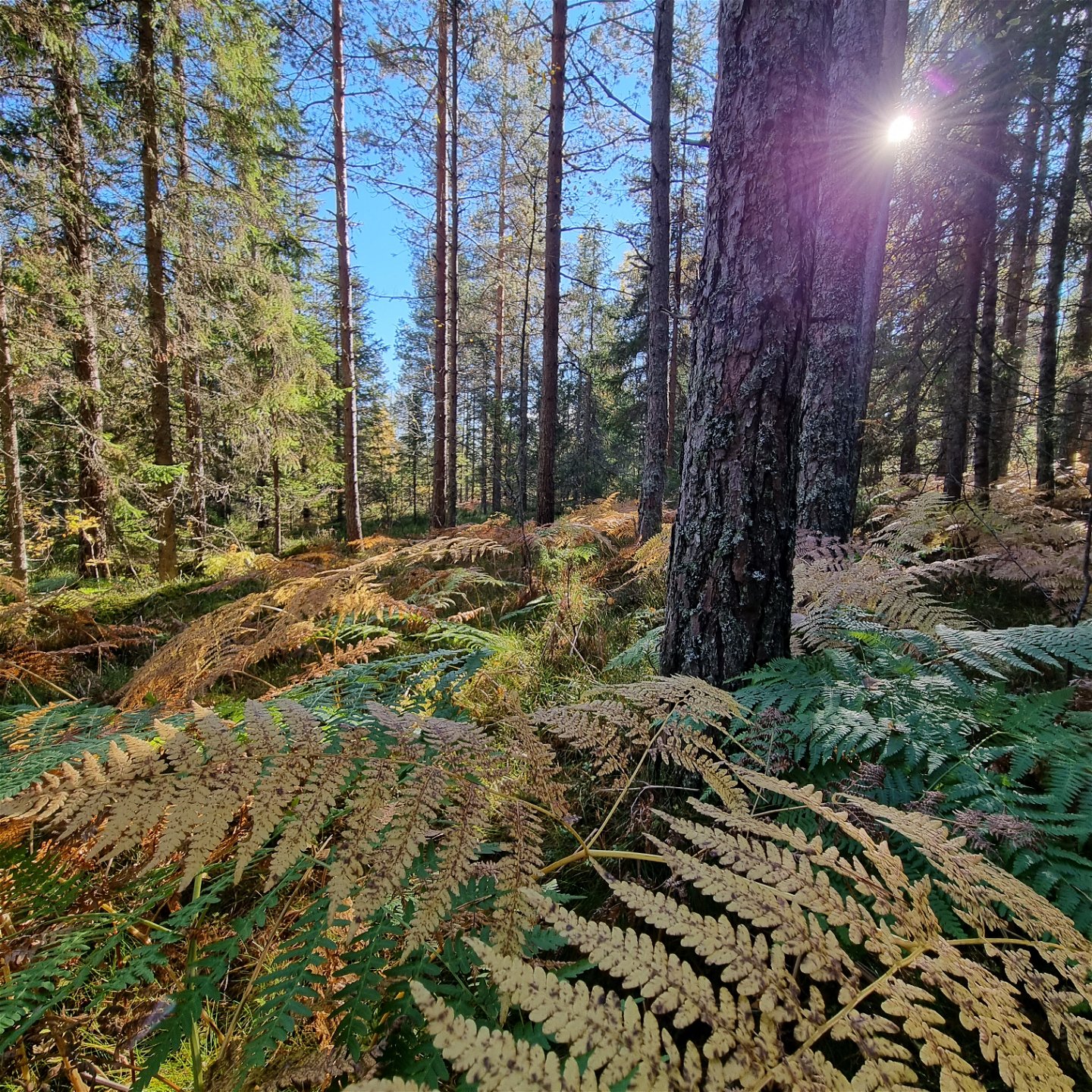
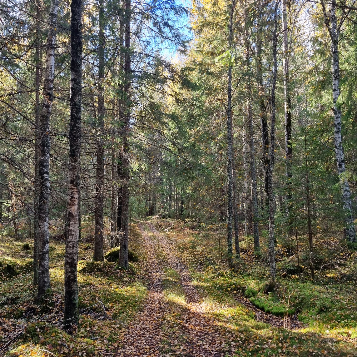
Till största delen skogsstig och kärrvägar, kortare avsnitt med grusväg. Öster om Lången har en avverkning gjorts och leden går på skotarspår några hundra meter, vilket vid inventeringen i september 2022 inte medförde några problem att ta sig fram.
Parking
Stor parkeringsplats vid Mangskogs kyrka.
Kontakt
Adresse
Besöksadress:
Visit Arvika
Arvika Turistbyrå, Storgatan 22
671 31 Arvika
www.visitarvika.se
E-Mail-Adresse
Visit Arvika
Fragen & Antworten
Stellen Sie eine Frage an andere Naturkartan-Nutzer.
