
-
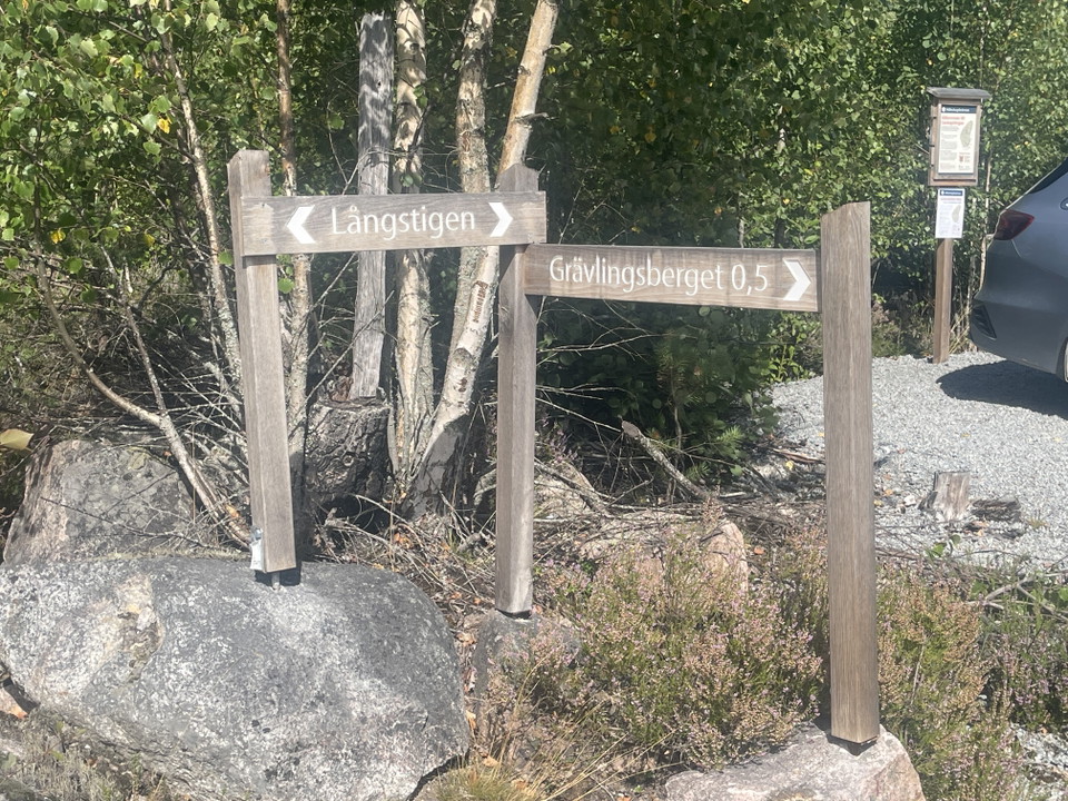
Foto: Ulrika Mogren
Informationstavla, Geologislingan start
- Information
- Landkreis: Västmanlands län
- 6711.15 km von Ihnen entfernt
Aktionen
Beschreibung
The geology trail is about two kilometers long. Along the trail there are information signs and some simple benches where you can rest. There is a parking lot at the start.
Walk past the barrier and continue 100 meters and you will reach the first station of the Geology Trail. Then follow the orange markings on posts and stones.
The path over Klössberget is partly steep and rocky. It goes through an area that burned heavily during the forest fire in 2014. Be aware that trees that have not already fallen may do so if the wind blows.
Aktivitäten und Einrichtungen
- Information
Kontakt
Adresse
Kontakta mig om du har frågor om Naturkartan Västmanland.
E-Mail-Adresse
Daniel Anundi
Logotyp der Organisation
Ich bin hier gewesen
Ich möchte hierher gehen
Fragen & Antworten
Stellen Sie eine Frage an andere Naturkartan-Nutzer.
Bewertungen
0 Rezensionen
- 5 :
- 4 :
- 3 :
- 2 :
- 1 :
Bilder von Nutzern
Es gibt noch keine Nutzerbilder. Sei der Erste, der eines teilt!
