
Fredsmilen Historia
- Kultur
- Landkreis: Dalarnas län
Aktionen
Beschreibung
Aktivitäten und Einrichtungen
- Kultur
Fakten
The accuracy of measured coordinates is about 3 meters.
In a hypothetical position, the cairn should have been within a radius of 10 meters when there are surrounding cairns. If there are no surrounding cairns, the uncertainty, mainly in the distance to the mine, is greater.
For conversion from cubits to meters, the factor 0.6 can be used (multiply by 0.6). The standard conversion is 0.5938 but due to measurement errors and worn measurement chains, the real distances are obtained with factors between 0.60 and 0.61.
The quarts used as a measure refer to 1/4th of a cubit (15 cm).
The peace mile circle drawn shows the distance from the center of the mine, with a radius of 10900 meters, the average radius of all the cairns. In reality, the cairns are located on the periphery of a 64-cornered circle influenced by 18th-century measurement accuracy and, to some extent, geographical conditions.
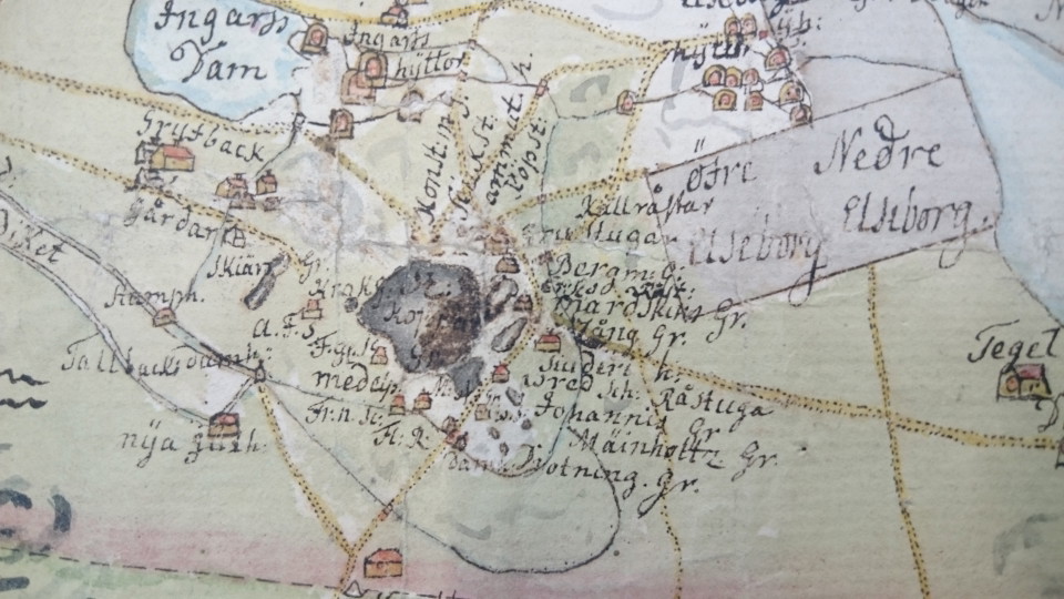
The center of the mine was located in 1754 in the vicinity of Fredrik's shaft, today a bit out in the southern part of Stöten.
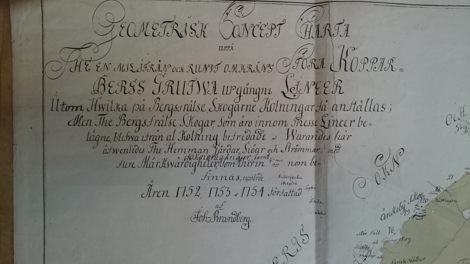
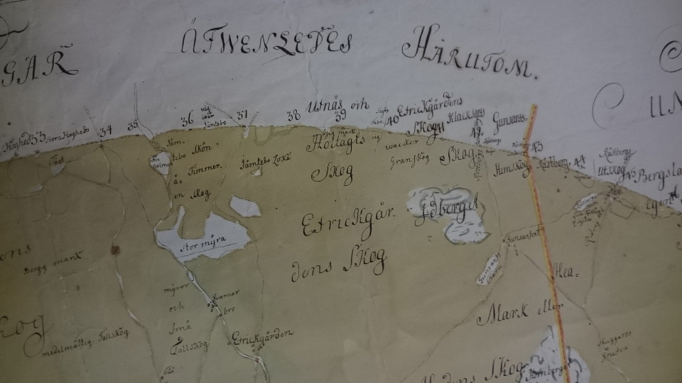
The description of each cairn is a transcript from the surveyor Johan Brandberg's protocol from 1754.
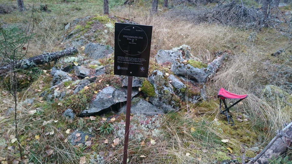
Click on the cairn mark in the map for information about individual cairns.
At present there are 112 cairns:
83 are definitely or reasonably definitely determined.
25 have not been found or have disappeared.
4 in lake and therefore not marked with cairn.
Wegbeschreibung
Die überwiegende Mehrheit der Schienen befindet sich in völlig unberührtem Gelände, keine Wege verbinden derzeit die Schienen. An einigen Stellen ist der Wald fast undurchdringlich, manchmal müssen Sie die Racks und Lichtungen mit lästigen Land und Waldreste passieren. Waldstraßen können an einigen Orten den Zugang erleichtern. Viele Waldstraßen haben Booms geschlossen.
Mit anderen Worten, es ist nicht einfach, zwischen den Schienen herumzukommen, aber Sie finden auch schöne Landschaft und Orte, die Sie normalerweise nicht finden. Der gesamte Kreisumfang beträgt fast 7 Meilen, der Vogelweg, ein Stück der Fischstraße.
Zum Wandern kann es angebracht sein, den Kreis in Tagesstadien zu teilen, wie zum Beispiel:
112 (Smedsbo) bis 22 (Grycksbo)
25 (Grycksbo) bis 45 (Rostberg, Envikensvägen)
46 (Rostberg) über 50 (Sundborn) bis 62 (Danholn)
66 (Danholn, Stensarvet) über 71 (E16) bis 75 (Staberg)
79 (Kniva) bis 84 (Färnviken)
101 (Ameisen) bis 109 (Brusala)
oder schwimmen, 87 (Vikakirche) über Fornäs Udde, Sunnanö, die Ostsee bis 100 (Ornäs).
Kontakt
E-Mail-Adresse
Kontaktcenter Falu kommun
Logotyp der Organisation

Bitte beachte, dass einige dieser Texte automatisch übersetzt worden sind.
Ich bin hier gewesen
Ich möchte hierher gehen 4

Bewertungen
—
0 Rezensionen
- 5 :
- 4 :
- 3 :
- 2 :
- 1 :
Fragen & Antworten
Stellen Sie eine Frage an andere Naturkartan-Nutzer.
Bilder von Nutzern
Teile deine Fotos von diesem Ort!
