
Kinnekulleleden MTB
- Radfahren
- Landkreis: Västra Götalands län
Details zum Weg
- Länge 46 km
- Schwierigkeit Blau - mittel
Aktionen
Beschreibung
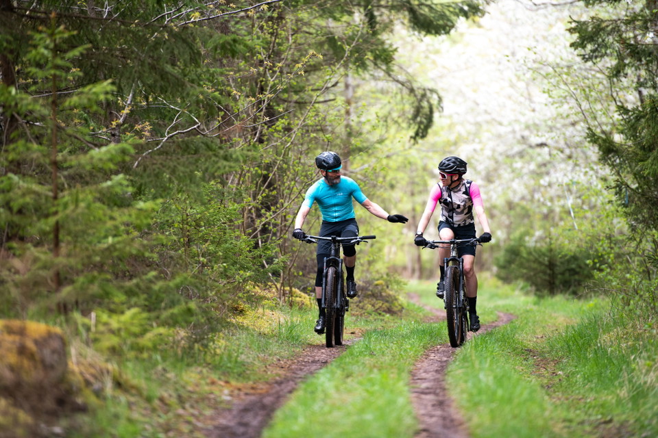
Kinnekulle offers an incredibly varied landscape along the same trail, you cycle through deciduous forests, alvar terrain, cliffs, spruce forests, and open meadows. The trail is mostly easy to ride, with nice paths and gravel roads.
You can cycle on almost the entire Kinnekulleden, in a couple of places hikers and cyclists are separated to protect nature. This route shows you exactly where to cycle to get to the right place. Follow the signs and be aware of hikers along the trail.Download the GPS file here.
Aktivitäten und Einrichtungen
- Radfahren
Kontakt
Adresse
En skärgård med tusentals öar, kobbar och skär. Ett bördigt kulturlandskap med fascinerande spår från medeltiden. Ett lokalt kök med genuina smakupplevelser. Romantiska hotellrum, personliga butiker och massor av möjligheter att cykla, paddla och vandra.
E-Mail-Adresse
Destination Läckö-Kinnekulle
Logotyp der Organisation

Ich bin hier gewesen 1

Ich möchte hierher gehen
Fragen & Antworten
Stellen Sie eine Frage an andere Naturkartan-Nutzer.
Bewertungen
1 Rezension
- 5 :
- 4 :
- 3 :
- 2 :
- 1 :
Bilder von Nutzern
Es gibt noch keine Nutzerbilder. Sei der Erste, der eines teilt!

Väldigt trevlig led men på MTB är det stundtals väldigt krävande men långa sträckor lysande för MTB. (tar längre tid än du tror)