
-
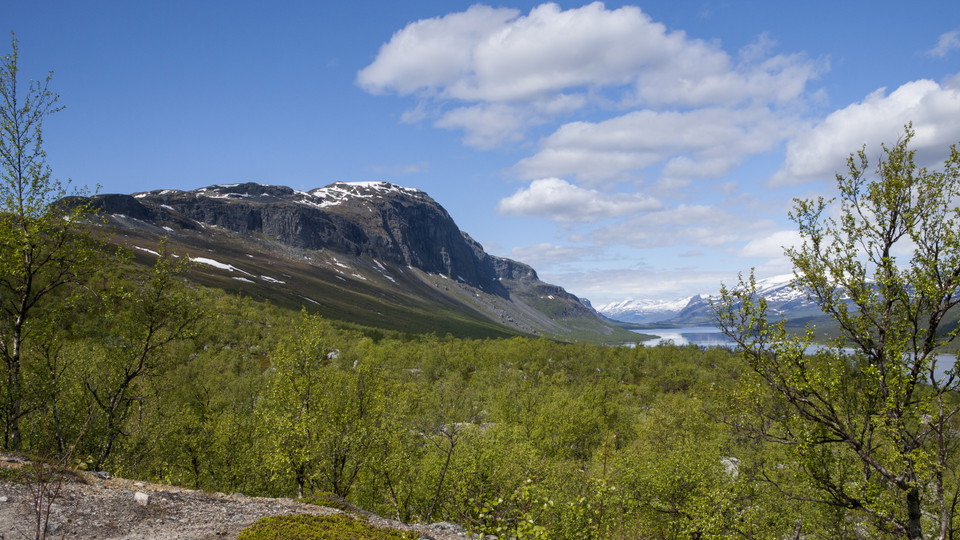
Lulep Gierkav.
Foto: Tor Tuorda -
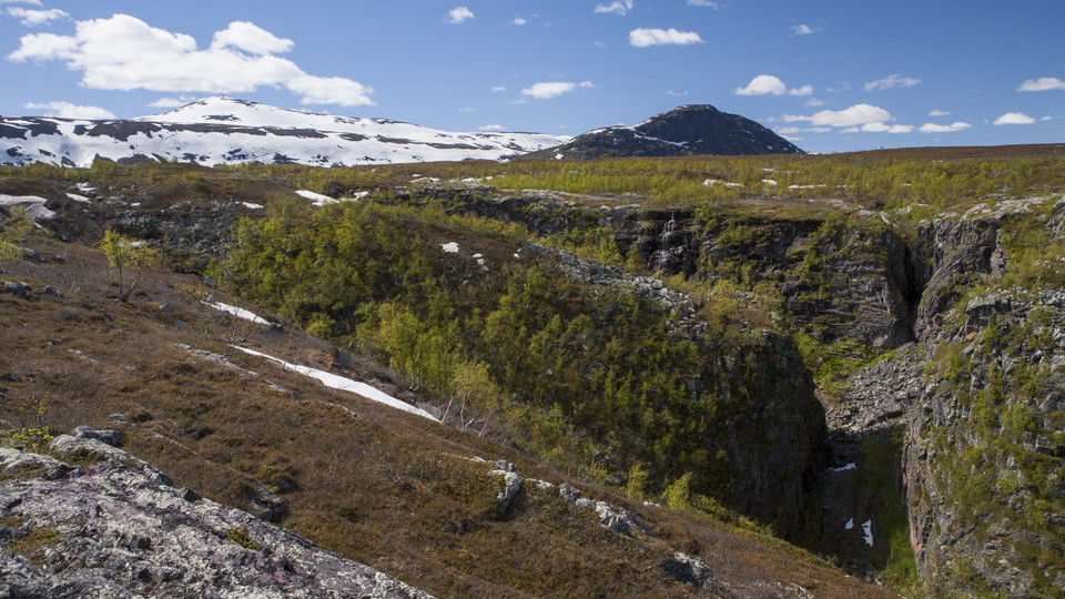
Áhusjgårsså.
Foto: Tor Tuorda
Bietsávrre-Saltoluokta
- Vandring
- Amt: Norrbottens län
- 6414.44 km fra dig
Ruteoplysninger
- Længde 6.0 km
Handlinger
Beskrivelse
The trail starts at the Sámi settlement on the east shore of Lake Bietsávrre. A distinct trail leads from the settlement to Saltoluokta mountain station. Enjoy the view of Lake Láŋas and Lulep Gierkav mountain on your way down. The trail joins the King’s Trail one kilometre before the mountain station.
The Sámi settlement offers boat transport across Lake Bietsávrre, refreshments and accommodation. You find information about opening hours among other things on the Pietsaure Sijddas website.
The trail is maintained by Laponiatjuottjudus.
Duration: 2-3 hours
Aktiviteter og faciliteter
- Vandring
Overflade
Easily-hiked surface, but a big altitude difference (over 300 vertical metres).
Kommunikation
You get to Kebnats by car or bus via the big road between Gällivare and Ritsem. There are daily bus connections during the season, and a car park at Kebnats. From Kebnats there are daily boat rides across Lake Langas to Saltoluokta Mountain Station.
Länstrafiken Norrbotten website (bus and coach operator)
The boat M/S Langas (Swedish Tourist Association website)
Kontakt
E-mailadresse
Länsstyrelsen Norrbotten
Organisationens logotype

Jeg har været her 6


Jeg vil gerne derhen 25


Spørgsmål og svar
Stil et spørgsmål til andre Naturkartan-brugere.
Anmeldelser
0 anmeldelser
- 5 :
- 4 :
- 3 :
- 2 :
- 1 :
Brugernes billeder
Der er endnu ingen brugerbilleder. Vær den første til at dele et!
