
-
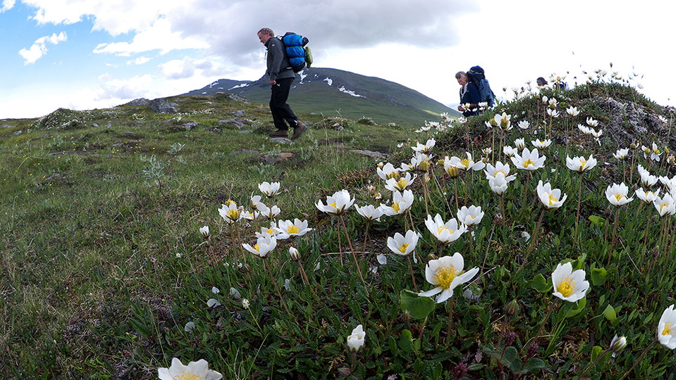
Foto: Göran Wallin
Låddejåhkå-Árasluokta, Nordkalottleden och Padjelantaleden
- Vandring
- Landsdel: Norrbottens län
- 6352.86 km fra dig
Ruteoplysninger
- Længde 13.0 km
Handlinger
Beskrivelse
A short, easily-hiked stage, but with the biggest altitude difference on the Padjelanta Trail.
The hike begins in mountain birch forest. After a few hundred metres, you cross Låddejåhkå stream via a suspension bridge. Here you can see a deep rocky canyon and giant cauldrons. Right after the bridge begins a 4 km, arduous slope up to Boarkka (Pårka) Pass at a height of 900 metres. Looking back you see Áhkká mountain and the summits of Sarek. After the path begins a long downhill slope to a wide valley and the river Miellädno. The view southwards over Lake Virihaure and the Sulitelma massif is impressive. Miellädno river is crossed via a suspension bridge and then the trail rounds the slope of Áras mountain. After a short hill, you arrive at the tourist cabins and the settlement of Árasluokta which belongs to Jåhkågaska Sámi community.
There are many good tent pitches on the stage, for example at the suspension bridge over Miellädno river.
Duration: 4-6 hours
Aktiviteter og faciliteter
- Vandring
Overflade
Easily-hiked surface across mountain moors and grassy pastures. There are some wet areas crossed with the help of plankways. The biggest altitude difference on the Padjelanta Trail.
Kontakt
E-mailadresse
Länsstyrelsen Norrbotten
Organisationens logo

Jeg har været her 9




Jeg vil gerne derhen 10
Spørgsmål og svar
Stil et spørgsmål til andre Naturkartan-brugere.
Anmeldelser
0 anmeldelser
- 5 :
- 4 :
- 3 :
- 2 :
- 1 :
Brugernes billeder
Der er endnu ingen brugerbilleder. Vær den første til at dele et!
