












Länsstyrelsen Norrbottens län
Välkommen ut i Norrbottens natur!

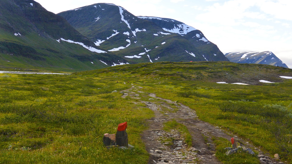
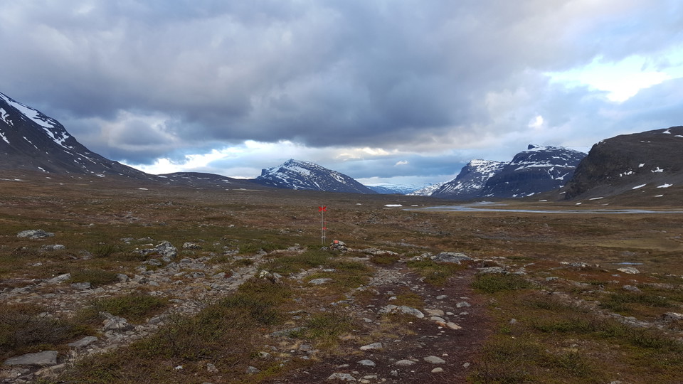
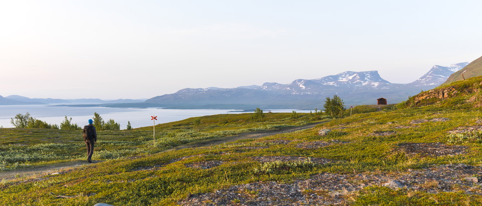
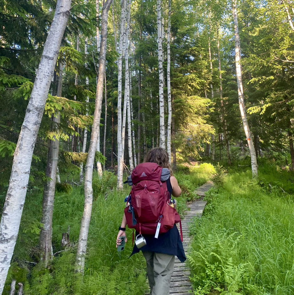
The hike between Sälka and Singi is stunningly beautiful. Tjäktjavagge (Čeakčavággi) widens out at the same time as a number of cross-valleys give new panoramas to the west and east. The trail is flat and easy to hike, and crosses verdant grass and brush moors.
A kilometre or two from Sälka the summits of the Sälka Massif appear to the west if you look back. During the hike you also see classic landmarks such as the Kebnekaise Massif, Drakryggen (the Dragon’s Back), Rabot’s Glacier and Gaskkasbákti.
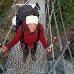
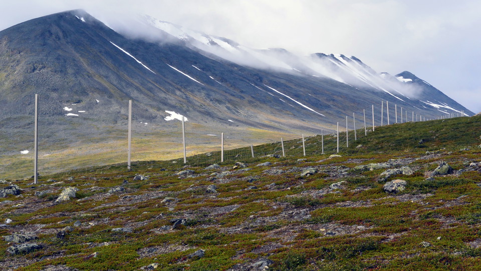
Half a kilometre after the suspension bridges across Gaskkasjohka the trail passes a reindeer fence that marks the boundary between the Sámi communities of Laevas and Girjas. Just over two kilometres farther along you cross the bridge over the beautiful Guobirjohka Canyon. This can be a good place to rest. If the weather is inclement, an alternative is the Kuoperjåkka stopover cabin with a latrine a kilometre further along.
Just before the Singi Cabins the trail passes above Kårtjevuolle (Goržževuolli), which is the summer settlement of Girjas Sámi Community. There are many good resting spots and tent pitches throughout the stage.
Duration: 3-4 hours
Mostly easily-hiked moorland.
Länsstyrelsen Norrbotten






Stil et spørgsmål til andre Naturkartan-brugere.
0 anmeldelser
Der er endnu ingen brugerbilleder. Vær den første til at dele et!