
-
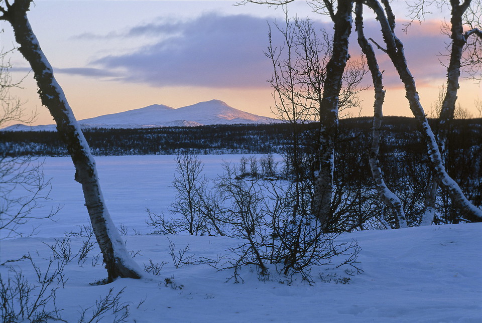
Beljijgájse från Vuolep Tjállasjávrre.
Foto: Tor L Tuorda, Naturfotograferna TT-bild -
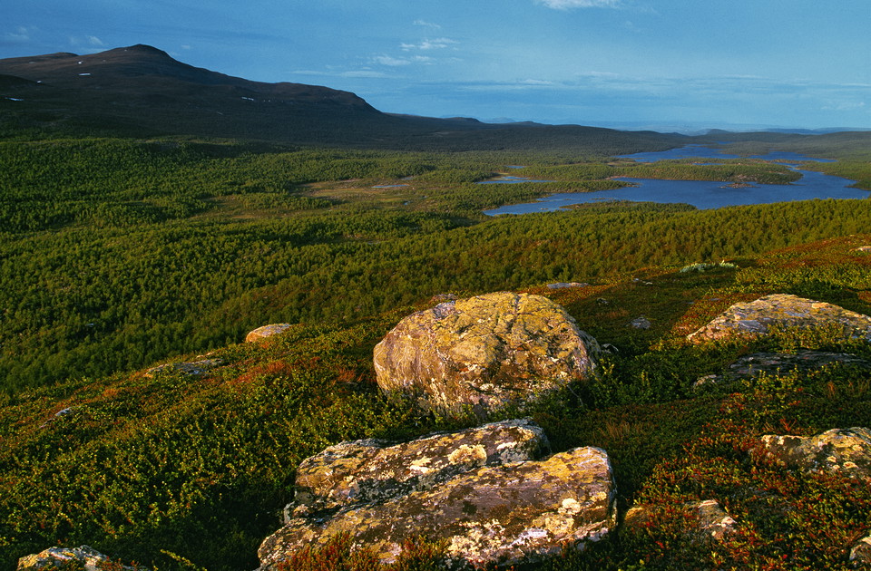
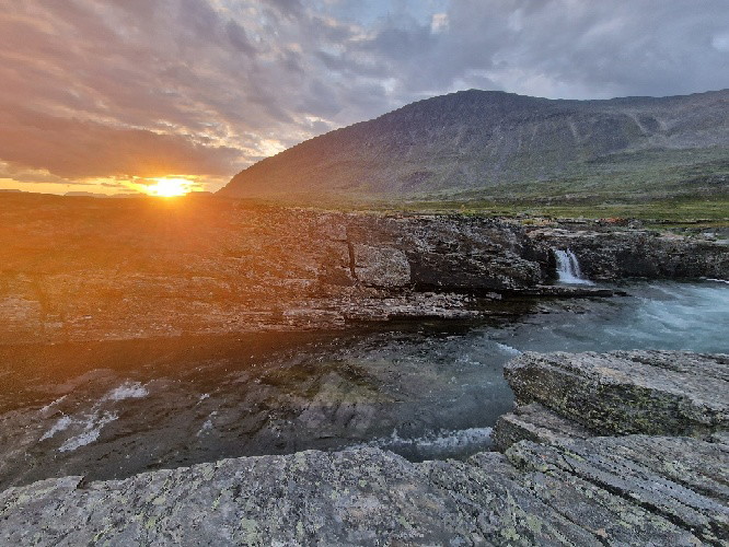
Utsikt i Pieljekaise nationalpark
Foto: Claes Grundsten, Naturfotograferna, TT-bild -
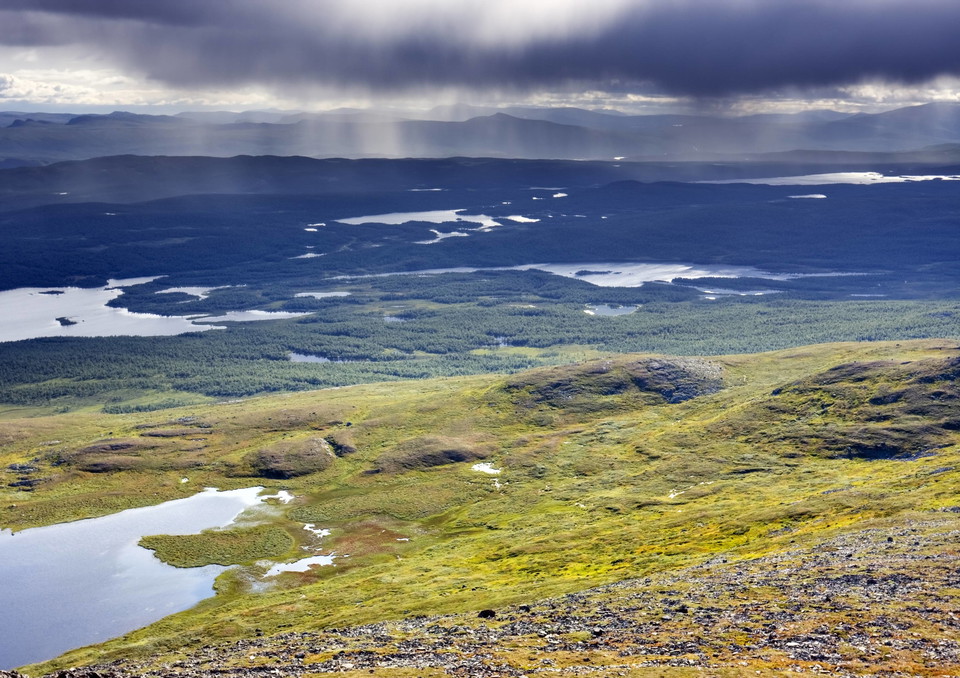
Landskap i Pieljekaise nationalpark
Foto: Naturvårdsverket, Foto: Imago stock and people, TT-bild -
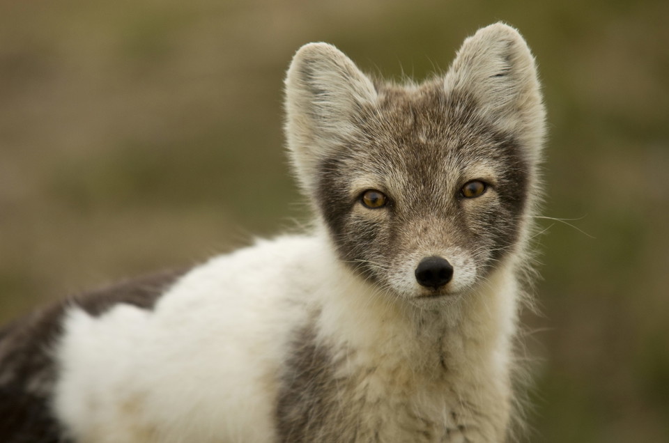
Foto: Naturvårdsverket, Foto: Mikael Gustafsson, TT-bild
Pieljekaise nationalpark
- Nationalpark
- Vejledende beskrivelse: Länsstyrelsen Norrbottens län
Handlinger
Beskrivelse
Pieljekaise National Park is in the Arjeplog mountains between Jäckvik and Adolfström.
The highest mountain, with a summit 1,138 metres above sea level, is Pieljekaise, which also gave the national park its name. In Sami the mountain is called Bieljijgájse, which means ”ear mountain”. The two peaks of the mountain look like an ear in profile.
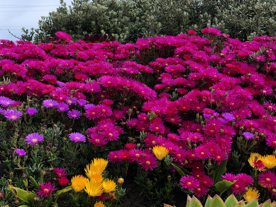
The national park is in a low mountain area with many small lakes and birch forests, but also heaths and meadows with abundant flora. The aim of the national park is to preserve an area with mountain birch forests in its natural state.
Pieljekaise National Park is in the Semisjaur-Njarg sameby, a Sami economic and administrative unit created with the intention of tending reindeer.
Aktiviteter og faciliteter
- Nationalpark
Kommunikationsflows
Pieljekaise National Park is in the Arjeplog mountains between Jäckvik and Adolfström. You can get here by car and by bus.
From the community of Arjeplog, it is 60 kilometres along highway 95 (the Silver Road) to Jäkkvik. The King’s Trail enters there from the north and leads farther south through Pieljekaise. There is bus service from Skellefteå to Jäkkvikk via Arvidsjaur and Arjeplog. If you want to enter the national park from the south, turn off from the Silver Road towards Adolfström instead. The King’s Trail also goes through there. That will add 10 km to the trip.
Länstrafiken Norrbotten (bus and coach operator) website
Visit Arjeplog website
Kontakt
E-mailadresse
Länsstyrelsen Norrbotten
Organisationens logo

Jeg har været her 28


Jeg vil gerne derhen 61




Spørgsmål og svar
Stil et spørgsmål til andre Naturkartan-brugere.
Anmeldelser
0 anmeldelser
- 5 :
- 4 :
- 3 :
- 2 :
- 1 :
Brugernes billeder
Der er endnu ingen brugerbilleder. Vær den første til at dele et!
