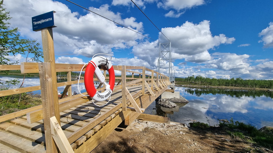
Bästa vandringslederna i Storuman

Storuman

Naturkartan samlar de vandringslederna i Storuman som är populärast bland våra användare.

Billeder

Kort

84 Bästa vandringslederna i Storuman

Vandring

Viterskalsstugan - Hemavan, Kungsleden

  • Kommune: Storuman
  • 6358.60 km fra dig
  • 10.0 km

The Viterskalsstugan-Hemavan stage is easy to walk. Here high mountains rise and the valley widens. From Viterskalstugan down to Hemavan, the view is miles wide over Artfjället and the Okstindarna glaciers in Norway. From Viterskalsstugan, Viterskalet heads…

Vandring

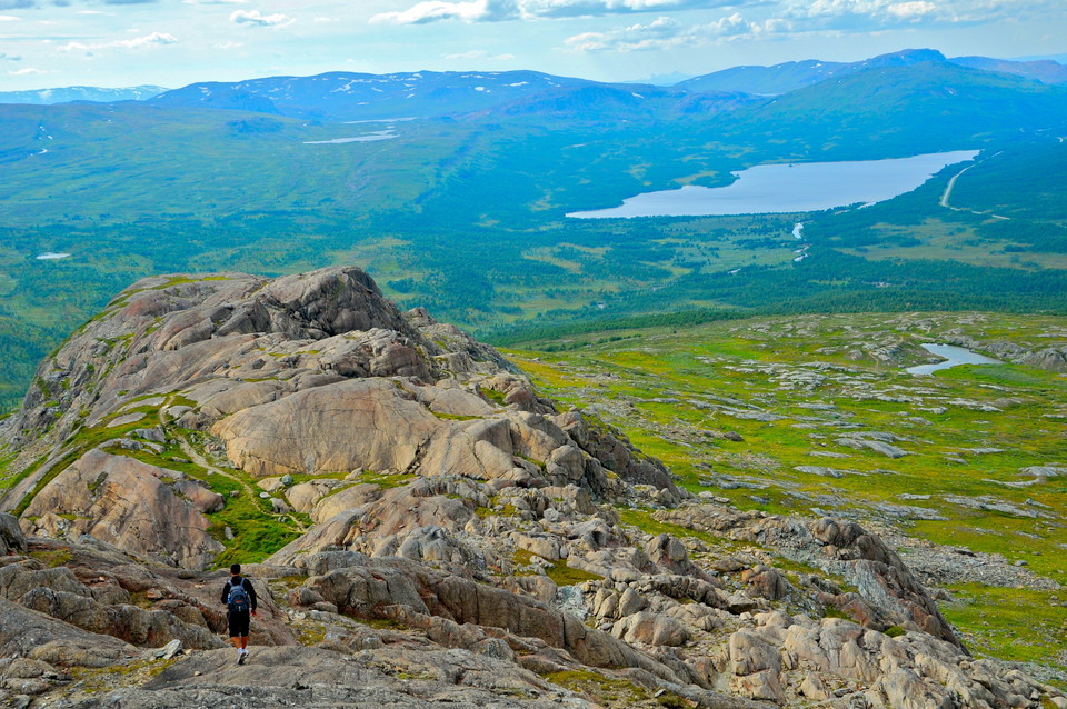
Gurkfjället / Gurhketjåhke

  • Kommune: Storuman
  • 6373.41 km fra dig
  • 2.2 km

A summit tour with a moderate climb and wonderful views of the Sytertopparna peaks and Vindelfjällen nature reserve. Sami Gurhke can be translated into Swedish as "one-eyed mountain skull". Nothing cucumber-like here then. Follow the trail from the former F…

Vandring

Led till Atoklimpens topp

  • Kommune: Storuman
  • 6347.92 km fra dig
  • 4.0 km

A Sami cultural environment with interesting flora and geology. From Atostugan there is a beautiful path up to the top of Atoklimpen, 1,006 m. It is a nice walk through sparse and beautiful mountain birch forest up to the tree line. Here a path turns south…

Vandring

Drottningleden, Laisaliden–Hemavan

  • Kommune: Storuman
  • 6361.21 km fra dig
  • 9.0 km
  • Sværhedsgrad: Blå

The trail is relatively easy to walk without sacrificing the mountain feeling, making it suitable for all hikers, young and old. It is also popular to go for a run along the trail. In winter there are ski trails. From Laisaliden you start at the tree line w…

Vandring

Daalåejvie/Dalåive

  • Kommune: Storuman
  • 6355.00 km fra dig
  • 5.0 km

Daalåejvie / Dalåive, 1 337 m.ö.h är ett blomsterrikt fjäll med fantastiskt utsikt, som lättast nås från Klippen. Stigen startar vid Blå Vägen och fortsätter upp till trädgränsen, där rösad led upp till toppen tar vid. Genom vacker fjällbjörkskog startar le…

Vandring

Ryfjället/ Ryjvejegaejsie

  • Kommune: Storuman
  • 6387.69 km fra dig
  • 4.0 km

A great summit tour! The 1,413 meter high mountain, in Sámi Ryjvejegaejsie, has become a symbol of Tärnaby with its characteristic profile high above Lake Gäutan. A 4 km long trail with almost 1,000 meters altitude difference goes up to the top from road E1…

Vandring

Syterstugan - Viterskalsstugan, Kungsleden

  • Kommune: Storuman
  • 6359.99 km fra dig
  • 12.0 km

Between Syterstugan and Viterskalsstugan, the King's Trail runs through the deep valley of Syterskalet, shaped like a U. Here you are surrounded by high alpine peaks during the long hike through the mighty shell. Large herds of reindeer often graze in Syter…

Vandring

Murtsertoppen

  • Kommune: Storuman
  • 6361.18 km fra dig
  • 6.5 km

Mortsen, som man säger i dagligt tal är ett fjällmassiv som är lätt att nå från olika håll. Vanligast är att starta från Hemavan eller Laisaliden. Startar man i Hemavan börjar vandringen på Drottningleden från naturum Vindelfjällen Hemavan. Väl uppe på kalf…

Vandring

Storkittelhobben/ Kungsliftens toppled

  • Kommune: Storuman
  • 6359.87 km fra dig
  • 2.0 km

Kungsliften's summit trail takes you from the Hemavan Gondola up to the highest point in the ski area - Storkittelhobben 1135 m. Perfect tour for young and old adventurers or for those who want to do an easier summit tour. The trail starts at the top statio…

Vandring

Rundtur Syterbäcken

  • Kommune: Storuman
  • 6357.28 km fra dig
  • 10.0 km

Nice walk along Syterbäcken which offers a magnificent view towards Viterskalet. Start the tour at the parking lot on road E12 west of Syterbäcken. Follow the path for about 4 kilometers along the stream to the suspension bridge above the tree line. Turn so…

Vandring

Tärnasjöstugorna - Syterstugan, Kungsleden

  • Kommune: Storuman
  • 6368.85 km fra dig
  • 14.0 km

This is the start of a long, wonderful hike through the mountain birch forest along Lake Tärnasjön. On parts of the route the trail goes down to the beach. Lake Tärnasjön and its surroundings are well documented in botanical, natural geographic and ornithol…

Vandring

Led till Fjällfinakåtan och Kobåset

  • Kommune: Storuman
  • 6361.14 km fra dig
  • 2.2 km

Fjällfinakåtan is an excursion destination for those hiking with children. Start at Naturum Vindelfjällen Hemavan and follow the blue-marked path straight up from the Mountain Botanical Garden, or follow the King's Trail up to the top of the Centrumliften.…

Vandring

Nuolpen / Nolhpenjaavretje

  • Kommune: Storuman
  • 6366.18 km fra dig
  • 2.0 km

Lilla tjärnen, Nuolpen, Nolhpenjaavretje, is located on the bare mountain above Laisaliden, a perfect destination for a combined mountain hike and fishing trip. The hike is about 2 km long and relatively steep. Once up there, the mountain feeling is total a…

Vandring

Geavhtavaartoe/ Gäutafjället

  • Kommune: Storuman
  • 6375.61 km fra dig
  • 4.0 km

The trail goes up to Gäutavardo/Gäutafjället within walking distance from Tärnaby. Relatively easy hike up through coniferous forest that turns into mountain birch forest and then bare mountain. Once up, you get a wide view in 360 degrees. The clear path in…

Vandring

Storkittelrundan

  • Kommune: Storuman
  • 6359.34 km fra dig
  • 3.5 km

Perfect tour for young and old adventurers or for those who want to make an easier day trip. The tour can also be combined with a summit ascent of Storkittelhobben/ Kungsliftens top. Storkittelrundan starts at the Hemavan Gondola top station. From the top s…

Bästa vandringslederna i Storuman

Naturkartan samlar de vandringslederna i Storuman som är populärast bland våra användare.

Naturkartan

Åbn dette i appen