Nyhet!

Nu kan du dela dina bilder på Naturkartan! 📸

Læs mere

Bästa vandringslederna i Sala

Sala

Naturkartan samlar de vandringslederna i Sala som är populärast bland våra användare.

Billeder

Kort

20 Bästa vandringslederna i Sala

Vandring

Sala - Gruvdammsrundan

  • Kommune: Sala
  • 6726.21 km fra dig
  • 26.0 km

The Gruvdammsrundan trail is a lakeside, family-friendly hiking route that begins and ends in the historic mining town of Sala. The trail takes you through soothing forests, over fields of restful moss, and along several lakes ideal for swimming and fishing…
Vandring

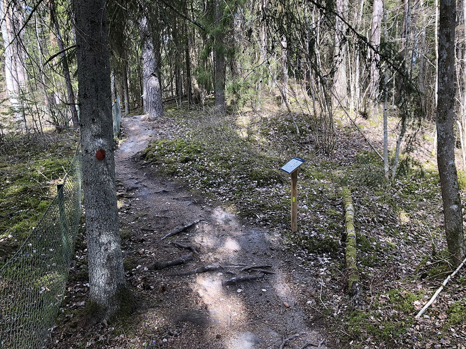
Silverstigen

  • Kommune: Sala
  • 6731.75 km fra dig
  • 1.3 km

Along the Silver Trail you can learn about the history of the area. Eleven different information boards tell you about the different mines and how the work was done. Some parts of the Silver Trail are wide, flat and graveled, while other parts are narrow an…

Vandring

Sala - Svartådalsleden

  • Kommune: Sala
  • 6715.49 km fra dig
  • 13.0 km
  • Sværhedsgrad: Blå

Svartådalsleden between Västerfärnebo and Mattssons Torn is a lovely hiking trail within Svartådalen Friluftsområde. Charming countryside, beautiful wetlands and dreamy forests are some of what this varied trail has to offer. One of the highlights along the…

Vandring

Geologislingan, Hälleskogsbrännan

  • Kommune: Sala
  • 6710.75 km fra dig
  • 1.7 km

The loop is 2 kilometers long. It is rocky with steep slopes and is demanding. The path is marked with orange painted on poles and on trees. Along the trail there are a number of information boards where you can read about the geological history of Klössber…

Vandring

Sala - Helgonmossen

  • Kommune: Sala
  • 6727.05 km fra dig
  • 7.5 km
  • 2 t 20 min

Helgonmossen is part of the large water system that once supplied the Sala silver mine with power. Hydropower was crucial to silver production, and the expansion of the system is one of the largest of its kind in Swedish history. Imagine the people who used…

Vandring

Hällestigen, Grävlingsberget

  • Kommune: Sala
  • 6711.30 km fra dig
  • 0.7 km

Stigen är grusad till största delen, men den går även över ett par berghällar. Den är cirka 750 meter lång. Stigen är framkomlig för dig som är synskadad om du har ledsagare med dig.

Vandring

Vandringsled, Östringby

  • Kommune: Sala
  • 6723.15 km fra dig
  • 5.0 km

Den södra slingan från parkeringen till Andfluckorna och tillbaka är 1.4 kilometer lång. Kronmossenslingan i den norra delen är 2,8 räknat från bilvägen.Kronmosseslingan och den södra slingan är även sammanbundna av en 800 meter lång stig. Leden har orangea…

Vandring

Sala - Ekebymosse Loopen

  • Kommune: Sala
  • 6729.27 km fra dig
  • 8.0 km
  • 2 t
  • Sværhedsgrad: Blå

Ekebymosse-loopen is a scenic and varied multi-trail that starts and ends at Sala Silvergruva. It is just long enough for a day trip and is suitable for both hikers and MTB cyclists who want to experience nature, culture and a bit of challenge. The trail st…

Vandring

Vandringsled, Katrinelund

  • Kommune: Sala
  • 6731.16 km fra dig
  • 2.9 km

In Katrinelund you walk on narrow paths through the varied nature. Follow the orange markings. Rocks and roots cross the path between turns and the landscape is flat. Here and there, the paths go over gravel roads and sometimes near homes. From the parking…

Vandring

Långstigen, Hälleskogsbrännan

  • Kommune: Sala
  • 6709.80 km fra dig
  • 23.8 km

Långstigen takes you around the northern parts of the nature reserve. Sometimes on gravel roads and sometimes on paths. At times, the 23-kilometer hike can be demanding. Parts of the trail go over bogs, on footbridges, but some parts can still be wet. Along…

Vandring

Stig, Vitmossen

  • Kommune: Sala
  • 6725.45 km fra dig
  • 0.7 km

The path is about 700 meters long and goes from the parking lot and a short distance into the area.

Vandring

Stigar, ej trädsäkrade, Hälleskogsbrännan

  • Kommune: Sala
  • 6710.92 km fra dig
  • 3.4 km

Along these paths, trees have been left behind after the fire. Therefore, be extra careful when walking here, especially if it is windy!

Vandring

Sala - Svartådalsleden - Tillbaka till Västerfärnebo

  • Kommune: Sala
  • 6717.62 km fra dig
  • 4.0 km
  • Sværhedsgrad: Grøn

This is a tour description for those who hiked Svartådalen Trail from Västerfärnebo to Mattssons Tower and then wish to hike back to Västerfärnebo. This route follows dirt roads with beautiful surroundings back to Hedebo where you can reconnect to the Svart…

Vandring

Fallängetorps Natur- och kulturled

  • Kommune: Sala
  • 6709.33 km fra dig
  • 3.2 km
  • Sværhedsgrad: Grøn

Fallängetorp is an organic farm that works under the slogan "Rural for everyone" and has opened up its farm with accommodation and activities. The Nature and Culture Trail at Fallängetorp is a 3km trail that runs through a varied landscape along gravel road…

Bästa vandringslederna i Sala

Naturkartan samlar de vandringslederna i Sala som är populärast bland våra användare.

Naturkartan

Åbn dette i appen