Bästa vandringslederna i Kristinehamn

Kristinehamn

Naturkartan samlar de vandringslederna i Kristinehamn som är populärast bland våra användare.

Billeder

Kort

31 Bästa vandringslederna i Kristinehamn

Vandring

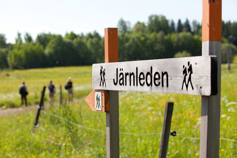
Järnleden

  • Kommune: Kristinehamn
  • 6638.28 km fra dig
  • 30.0 km
  • Sværhedsgrad: Blå

SECTIONS Hytte - Bergsjötorp Medium 5 km, 1.5-2 hours This is an easy trail with gravel and forest paths. It takes you along the old freight route of the iron, along the canal of Norsbäcken (built 1630). The canal runs into Lake Bergsjön and the trail follo…

Vandring

Nötöleden

  • Kommune: Kristinehamn
  • 6651.92 km fra dig
  • 5.5 km
  • 1 t 30 min
  • Sværhedsgrad: Blå

The Nötöleden trail runs through an old cultural landscape with large oaks. On Österön there are leafy groves of oak, lime and hazel. These are exciting environments with a completely different plant and animal life than what you encounter in the cultural l…

Vandring

Led Dyrön

  • Kommune: Kristinehamn
  • 6649.80 km fra dig
  • 2.9 km
  • Sværhedsgrad: Blå

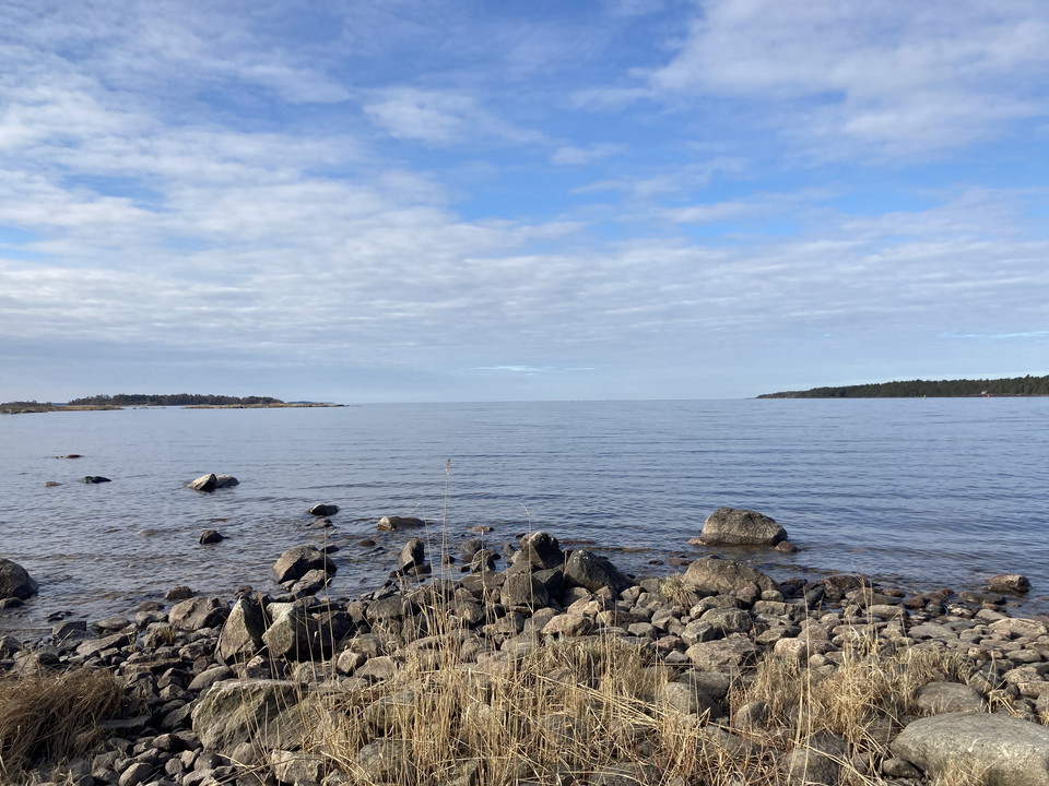
Trail close to the lake through rocky forest and pasture with cows. No difficult slopes. Lovely end point with cliffs and views of Lake Vänern. Those who want to avoid the cows can walk the bombed gravel road... The distance is 2.9 km one way. Orange trail…

Vandring

Arskagsleden Nötön

  • Kommune: Kristinehamn
  • 6651.90 km fra dig
  • 5.6 km
  • 1 t 30 min
  • Sværhedsgrad: Blå

Arskagsleden runs through pastures with old oaks. You walk across beautiful meadows and through forests with many deciduous trees. At Arskagsudde, in the far south, you have a nice view of Åråsviken, which is part of Lake Vänern. The whole area is protected…

Vandring

Prästöleden

  • Kommune: Kristinehamn
  • 6652.02 km fra dig
  • 5.6 km
  • 1 t 30 min

The Prästöleden trail starts on Linsön with large, open pastures. You can clearly see the wooded moraine ridges that run straight through the landscape. They were created when the inland ice melted away. Stop at Linsöstugan, which is an open resting hut. Th…

Vandring

Led Kummelön norr

  • Kommune: Kristinehamn
  • 6635.72 km fra dig
  • 1.4 km
  • Sværhedsgrad: Grøn

The trail winds through the pastures past stately trees and views of the water. On the headland there is a resting hut and beautiful views of Ölmeviken. It is relatively easy to walk, but in some places you have to pass stiles over the pasture fences.During…

Vandring

Tre öars led

  • Kommune: Kristinehamn
  • 6641.27 km fra dig
  • 4.0 km
  • Sværhedsgrad: Grøn

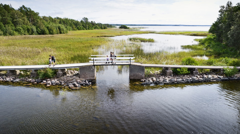
Hike across three Lake Vänern islands Tre Öars Led is a scenic hiking trail that begins on Vålön, the largest island in Kristinehamn, and continues across footbridges to the nearby islands of Kalvön and Sibberön – both protected nature reserves. The 4-kilom…

Vandring

Varnans Bäckdal

  • Kommune: Kristinehamn
  • 6643.26 km fra dig
  • 3.0 km
  • Sværhedsgrad: Blå

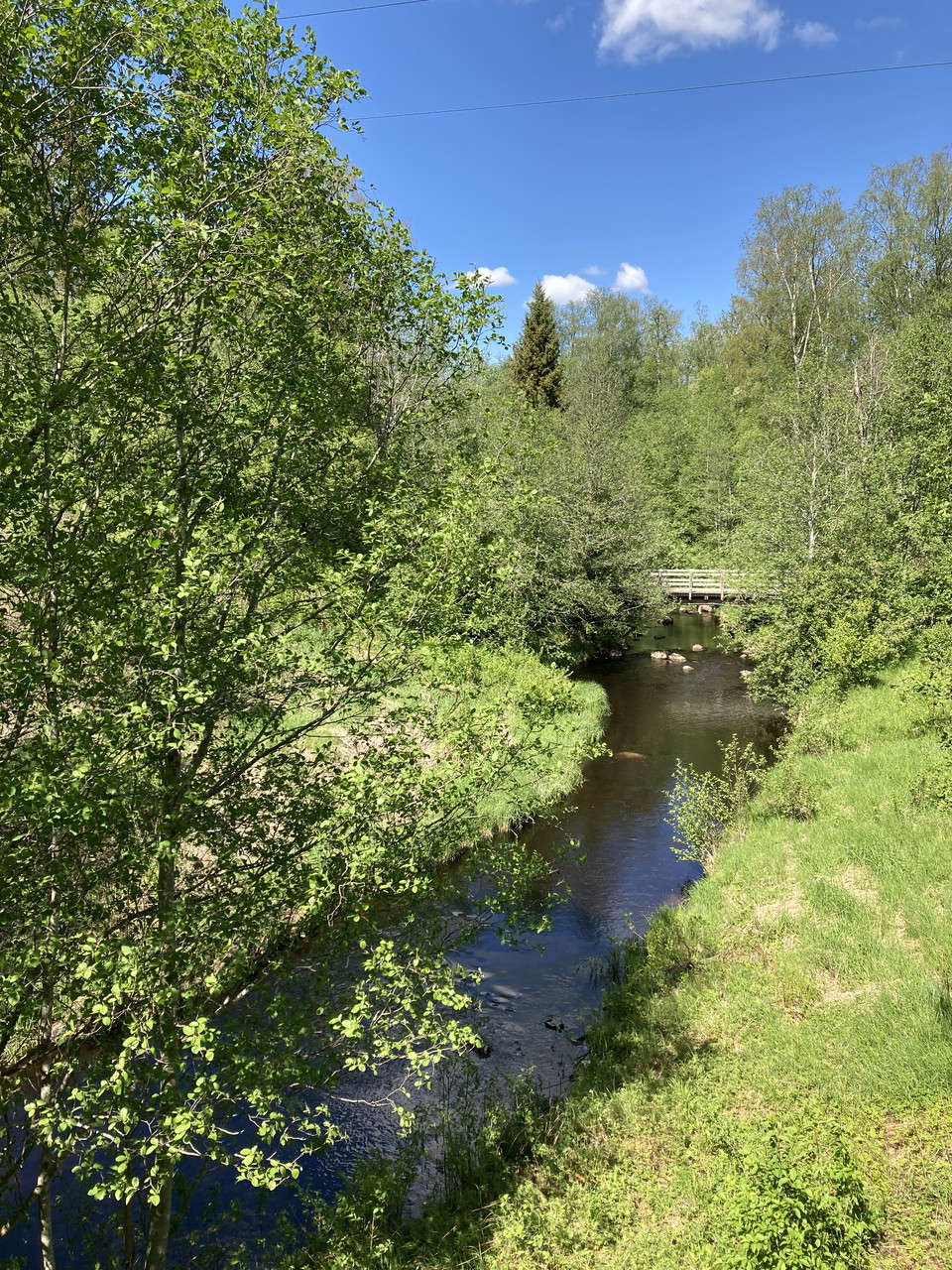
The area around the small river of Varnan is mostly untouched and has a special vegetation with many rare plants and animals. The river is of both biological and cultural importance.

Vandring

Prästöleden, Nötön

  • Kommune: Kristinehamn
  • 6652.02 km fra dig
  • 5.8 km
  • Sværhedsgrad: Blå

The Prästöleden trail winds up and down over moraine ridges, through open pastures with large oaks and in lush deciduous forests. Nice resting places at Linsöstugan and out on Prästöudden.

Vandring

Jacquelines naturstig

  • Kommune: Kristinehamn
  • 6642.27 km fra dig
  • 2.5 km
  • Sværhedsgrad: Grøn

This trail takes you through the forest and along small roads in the housing area next to the lake. A visit to the southernmost viewpoint is recommended. It has a breathtaking view of the lake, which is the largest lake in the European Union. The path start…

Vandring

Sannaleden

  • Kommune: Kristinehamn
  • 6640.98 km fra dig
  • 6.0 km
  • Sværhedsgrad: Grøn

This trail runs between the campsite, Kristinehamns Herrgårdscamping, and the guest marina. Parts of the trail follows the lakeside, and it is easy to continue onto the waterfront walkway along Vålösundet toward the Picasso sculpture.

Vandring

Kaffeberget runt

  • Kommune: Kristinehamn
  • 6643.81 km fra dig
  • 3.4 km

The trail around Kaffeberget connects with several other trails. Just hike around the hill or combine with other trails.

Vandring

Led Kummelön syd

  • Kommune: Kristinehamn
  • 6635.77 km fra dig
  • 0.4 km
  • Sværhedsgrad: Grøn

The trail is a circular route through the pasture, past stately trees and views of the surrounding farmland. Periodically there are grazing animals in the pasture. Poles with orange top

Vandring

Led Stora Vilången

  • Kommune: Kristinehamn
  • 6646.54 km fra dig
  • 0.7 km
  • Sværhedsgrad: Blå

Footbridges and bridges can be slippery in wet weather.

Bästa vandringslederna i Kristinehamn

Naturkartan samlar de vandringslederna i Kristinehamn som är populärast bland våra användare.

Naturkartan

Åbn dette i appen