
-
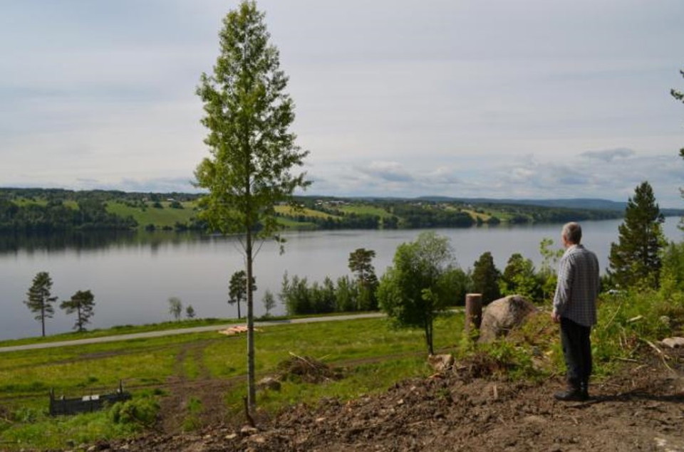
Foto: Bertil Glansberg
Hoverbergsleden
- Vandring
- Kultursti
- Rundbane
- Amt: Jämtlands län
- 6476.34 km fra dig
Ruteoplysninger
- Længde 9.0 km
Handlinger
Beskrivelse
Hoverbergsleden follows the "mountain foot" around Hoverberget. The trail partly follows the shoreline of the Centraljämtska ice lake and passes Hoverbergsgrottan, Hembygdsgården, an execution site, soldier's village and a number of other cultural-historical sites. On the eastern side you can see the alum shale layers on which Hoverberget rests. The shape of Hoverberget creates a number of different plant areas with different conditions for vegetation. The most species-rich area is the western part adjacent to the cave, which is a so-called south growth mountain.After the Hoverberg trail there are a number of trails that lead up to the hiking trails at the top of the Hoverberget nature reserve. The trail is 9 km long and is marked in orange.
Aktiviteter og faciliteter
- Vandring
- Kultursti
- Rundbane
Jeg har været her 1

Jeg vil gerne derhen 6

Spørgsmål og svar
Stil et spørgsmål til andre Naturkartan-brugere.
Anmeldelser
0 anmeldelser
- 5 :
- 4 :
- 3 :
- 2 :
- 1 :
Brugernes billeder
Der er endnu ingen brugerbilleder. Vær den første til at dele et!
