
-
Zdjęcie: Ulrika Mogren -
Zdjęcie: Ulrika Mogren -
Zdjęcie: Ulrika Mogren -
Zdjęcie: Ulrika Mogren -
Zdjęcie: Ulrika Mogren -
Zdjęcie: Ulrika Mogren -
Zdjęcie: Ulrika Mogren -
Zdjęcie: Ulrika Mogren -
Zdjęcie: Ulrika Mogren
Vandringsled, Katrinelund
- Wędrówki piesze
- Województwo: Västmanlands län
- 6731.16 km od Ciebie
Szczegóły dotyczące szlaku
- Długość 2.9 km
Akcje
Opis
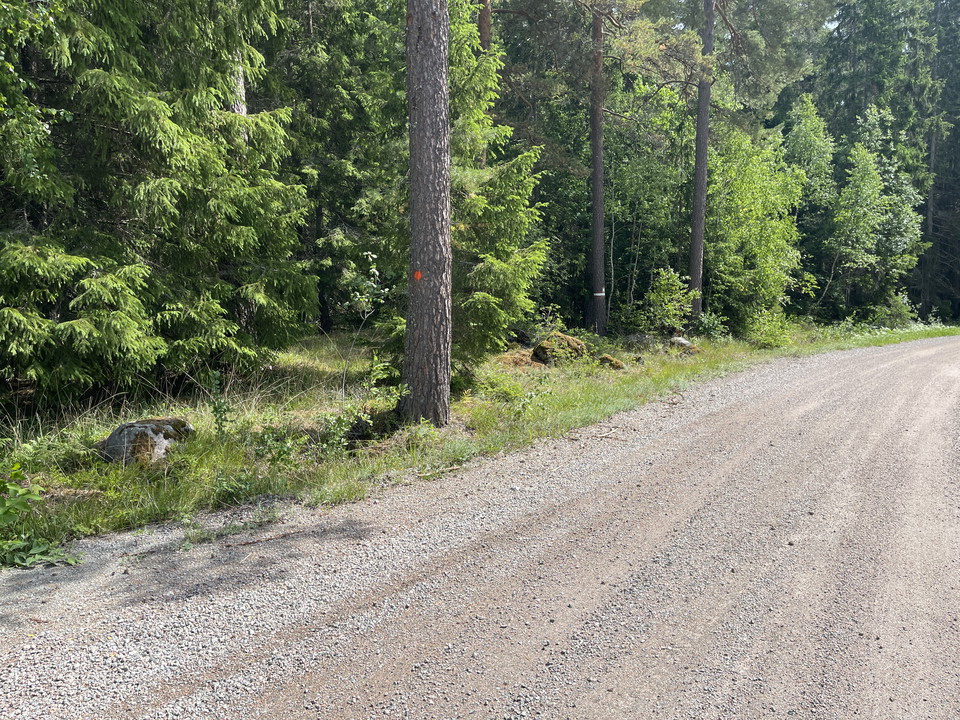
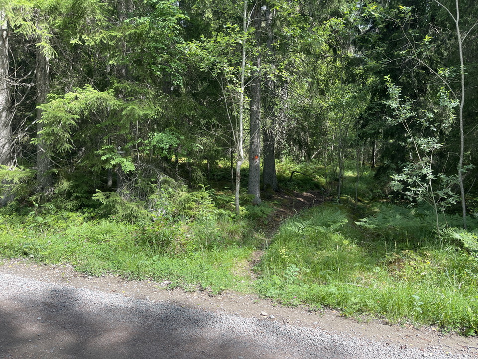
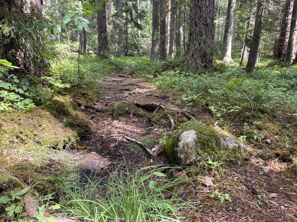
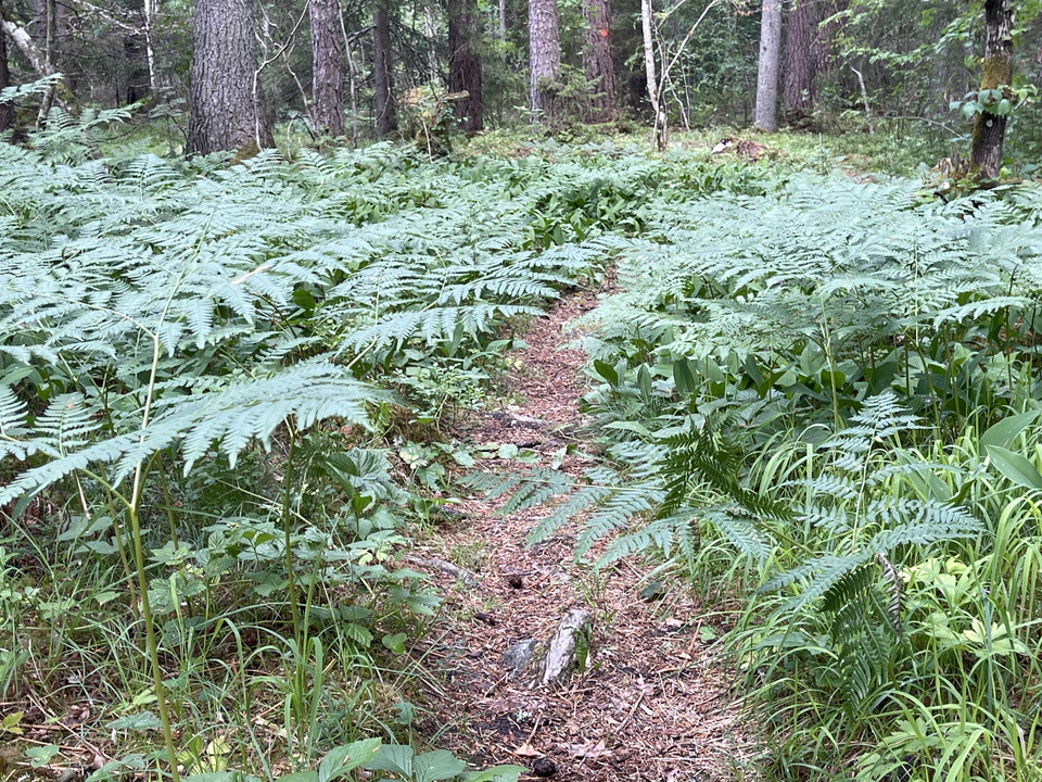
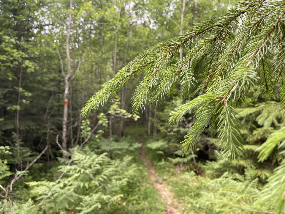
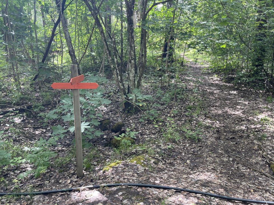
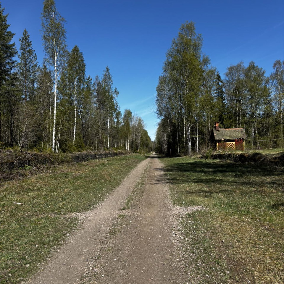
In Katrinelund you walk on narrow paths through the varied nature. Follow the orange markings. Rocks and roots cross the path between turns and the landscape is flat. Here and there, the paths go over gravel roads and sometimes near homes.
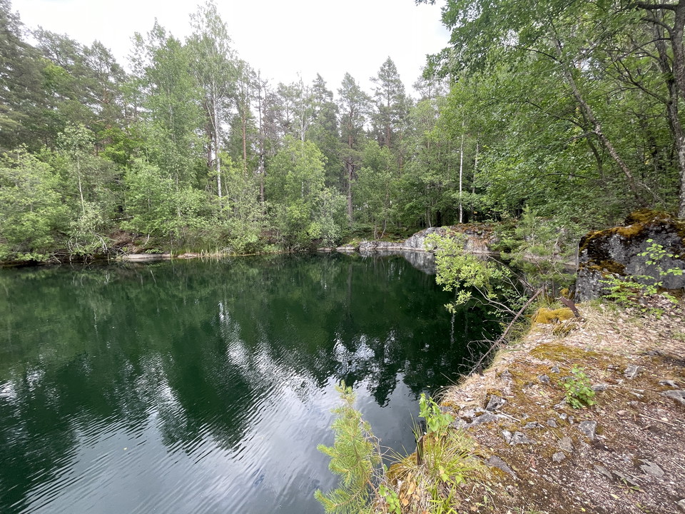
From the parking lot, walk about 50 meters south along the gravel road before turning into the forest. In the far south there is a rest area at a former quarry.
Działania i udogodnienia
- Wędrówki piesze
Kontakt
Adres
Kontakta mig om du har frågor om Naturkartan Västmanland.
Adres e-mail
Daniel Anundi
Logotyp organizacji
Byłam tu 2

Chcę tu iść 3

Pytania i Odpowiedzi
Zadaj pytanie innym użytkownikom Naturkartan.
Opinie
0 recenzji
- 5 :
- 4 :
- 3 :
- 2 :
- 1 :
Zdjęcia użytkowników
Nie ma jeszcze żadnych zdjęć użytkowników. Bądź pierwszym, który je udostępni!
