
-
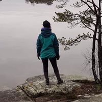
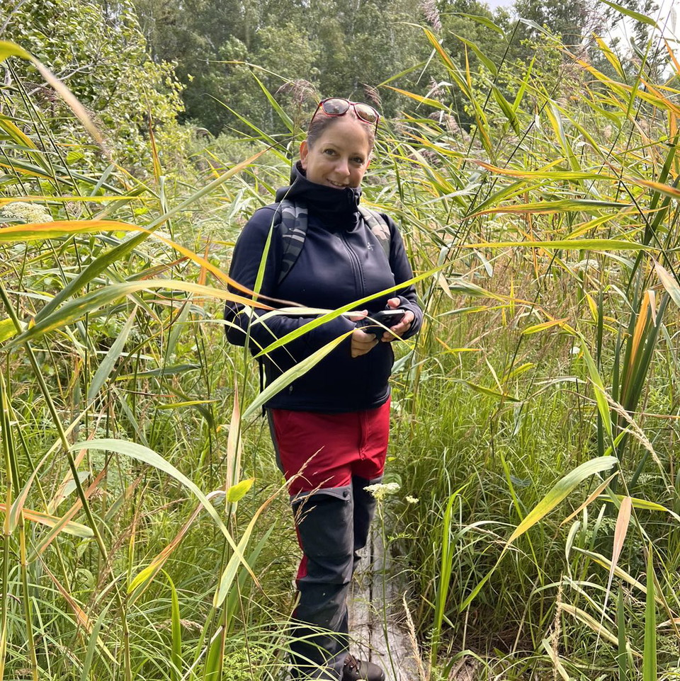
Zdjęcie: Ylva Granath -
Zdjęcie: Ulrika Mogren -
Zdjęcie: Ylva Granath -
Zdjęcie: Ylva Granath -
Zdjęcie: Ulrika Mogren -
Zdjęcie: Ulrika Mogren
Vandringsled, Asköviken-Tidö
- Wędrówki piesze
- Dostęp dla wózków inwalidzkich
- Dostęp dla wózków dziecięcych
- Blisko parkingu
- Blisko transportu publicznego
- Blisko toalet
- Przewodnik: Länsstyrelsen Västmanlands län
- 6747.09 km od Ciebie
Szczegóły dotyczące szlaku
- Długość 4.2 km
Akcje
Opis
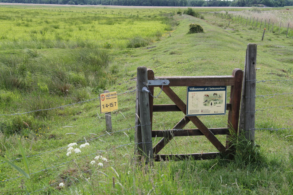
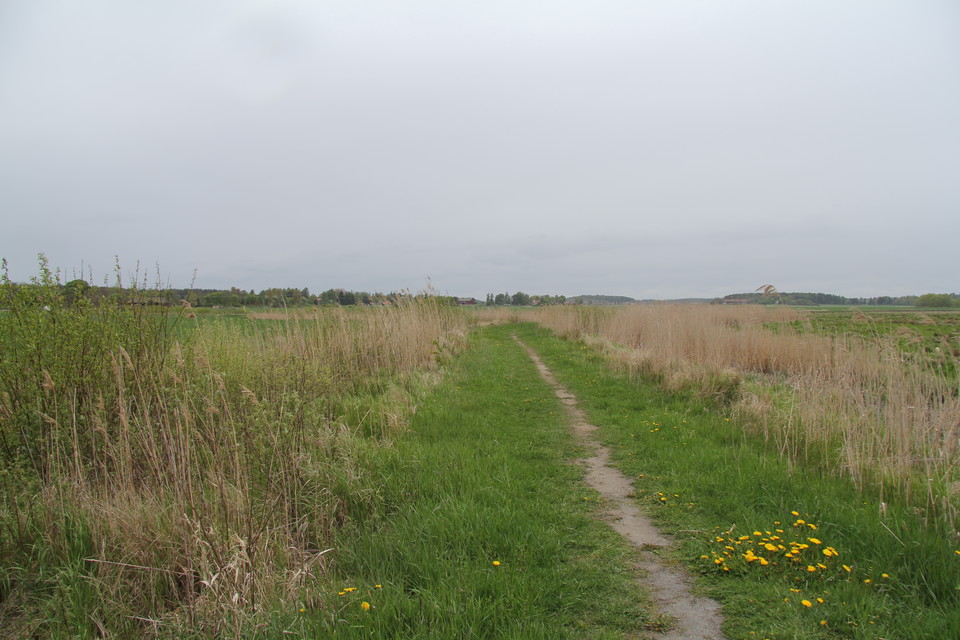
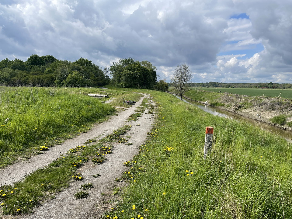
The hiking trail connects the different parts of the nature reserve, and joins the hiking trails at Askö in the north and Rudö in the south. It passes a couple of rest areas and past lookout hills and lookout points where you can watch for birds.
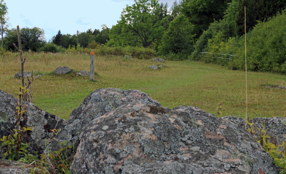
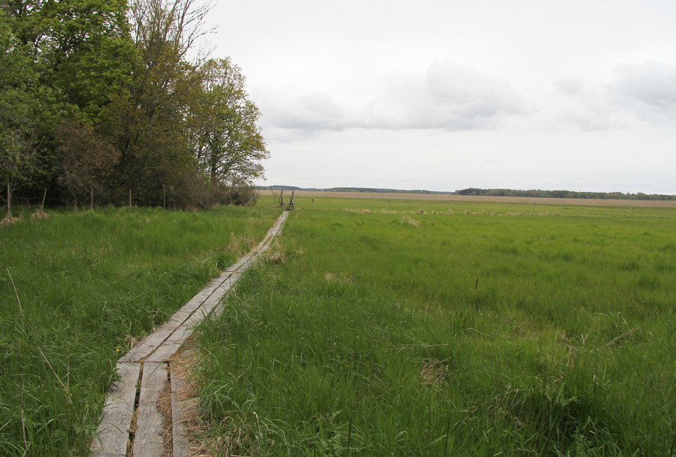
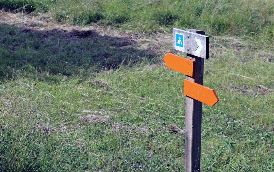
The hiking trail consists of both wider gravel paths, forest paths and footbridges over wet areas. It is marked with orange on trees and poles.
Działania i udogodnienia
- Wędrówki piesze
Dostępność
- Dostęp dla wózków inwalidzkich
- Dostęp dla wózków dziecięcych
- Blisko parkingu
- Blisko transportu publicznego
- Blisko toalet
Kontakt
Adres
Kontakta mig om du har frågor om Naturkartan Västmanland.
Adres e-mail
Daniel Anundi
Logotyp organizacji
Byłam tu 19



Chcę tu iść 35


Pytania i Odpowiedzi
Zadaj pytanie innym użytkownikom Naturkartan.
Opinie
0 reviews
- 5 :
- 4 :
- 3 :
- 2 :
- 1 :
Zdjęcia użytkowników
Nie ma jeszcze żadnych zdjęć użytkowników. Bądź pierwszym, który je udostępni!
