
-
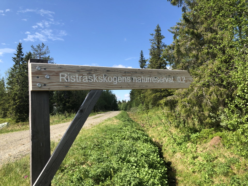
Zdjęcie: Länsstyrelsen Västerbotten -
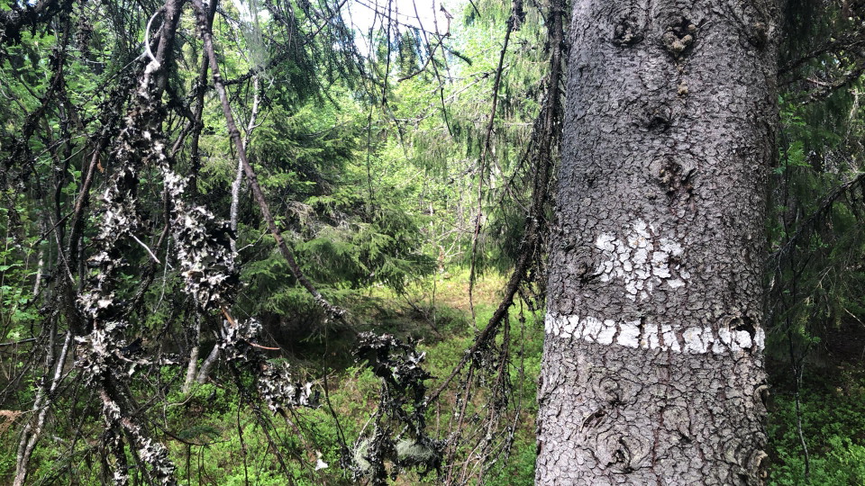
Zdjęcie: Länsstyrelsen Västerbotten
Risträskskogen
- Rezerwat przyrody
- Województwo: Västerbottens län
Akcje
Opis
The area is located on Stöttingfjället in Vilhelmina municipality on the top of a ridge. The height above sea level is around 600 meters. Risträskskogen consists of a sparse old spruce forest of fresh rice type with elements of glass birch.
The village of Risträsk, which is located outside the reserve, is one of the highest agricultural villages in the country. The village is well preserved and of national interest for cultural heritage. The buildings are largely preserved, and the number of barns illustrates the importance of pastoral farming.
Działania i udogodnienia
- Rezerwat przyrody
Wskazówki dojazdu
The reserve is located at the village of Risträsk on Stöttingfjället, the area is easily reached via road 360 which runs through the village.
Kontakt
Adres e-mail
Länsstyrelsen Västerbotten
Logotyp organizacji

Należy pamiętać, że niektóre z tych tekstów zostały przetłumaczone automatycznie.
Byłam tu 5

Chcę tu iść 3

Pytania i Odpowiedzi
Zadaj pytanie innym użytkownikom Naturkartan.
Opinie
0 recenzji
- 5 :
- 4 :
- 3 :
- 2 :
- 1 :
Zdjęcia użytkowników
Nie ma jeszcze żadnych zdjęć użytkowników. Bądź pierwszym, który je udostępni!
