
-
Zdjęcie: Karin Björnehall -
Zdjęcie: Karin Björnehall
Bräntkläppen
- Rezerwat przyrody
- Województwo: Västerbottens län
Akcje
Opis
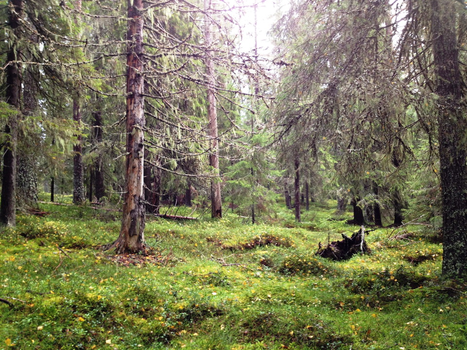
Bräntkläppen nature reserve is located north-east of Vindeln. The reserve is an ancient forest that has always been affected by fires.
The Siberian jay thrives here
The reserve is slightly hilly and is home to both coniferous forest and mires. The area is a good distance from the nearest forest road, which gives a feeling of wilderness and peace.
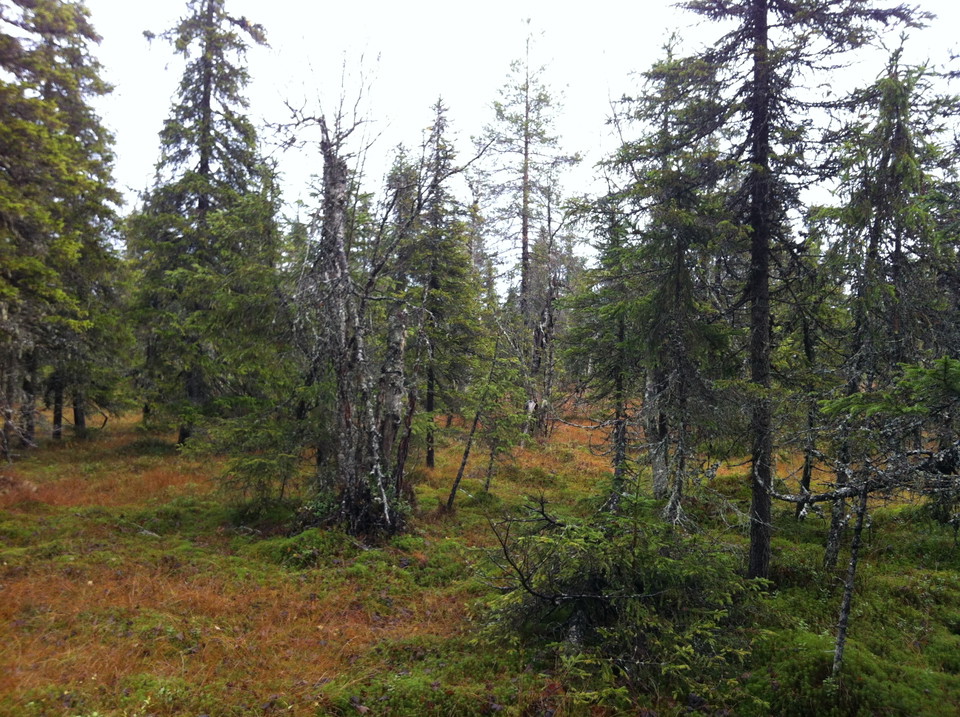
The terrain is slightly undulating, with small depressions and hills. Spruces and pines are most common, although aspens, birches and the odd sallow can also be found. Lichens hang from the old spruces. Perhaps this is why the Siberian jay is so happy here.
Forest fires
During the 1950s, half a hectare in the north-eastern corner of the reserve caught on fire. The area came to be known as Bräntkläppen. Most of the pines bear traces of the forest fire. The forest was only 30-50 years old the last time there was a fire here, and it is now between 70-100 years old.
Działania i udogodnienia
- Rezerwat przyrody
Wskazówki dojazdu
Jedź z Windle w kierunku Botsmark. Tuż przed Buberget lub na końcu wsi podejmują drogi leśnej w lewo. Dysk około 3 km, a następnie chodzić 1 km.
Kontakt
Adres e-mail
Länsstyrelsen Västerbotten
Logotyp organizacji

Należy pamiętać, że niektóre z tych tekstów zostały przetłumaczone automatycznie.
Byłam tu 1

Chcę tu iść 1
Pytania i Odpowiedzi
Zadaj pytanie innym użytkownikom Naturkartan.
Opinie
0 recenzji
- 5 :
- 4 :
- 3 :
- 2 :
- 1 :
Zdjęcia użytkowników
Nie ma jeszcze żadnych zdjęć użytkowników. Bądź pierwszym, który je udostępni!
