Nordvärmlandsleden
Att göra
- Województwo: Värmlands län
- 6852.0 km od Ciebie
Akcje
Opis
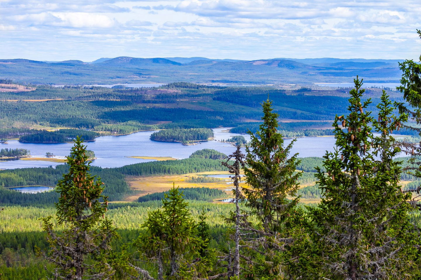
Nordvärmlandsleden is a 52 km long hiking trail that stretches through varied and hilly terrain, from Ransby in the south to Höljes in the north. The trail offers spectacular views, historic summer pasture landscapes, and excellent opportunities for outdoor activities.
Nordvärmlandsleden takes you through some of the most magnificent natural areas in Värmland. Along the trail, you’ll pass high vantage points, including Långberget and Granberget (700 m a.s.l.), which is the highest point in Värmland. The hike leads through forested mountains, lakes, and wetlands, where you may spot moose, deer, and a variety of bird species. At Lake Näcksjön, there is a rest area where you can take a swim or try your luck fishing.
During the hike, you’ll also pass several culturally and historically significant summer pasture cabins, some of which are open to visitors. Along the trail, there are rest areas with shelters, making it ideal for longer treks with overnight stays in nature. At Ransbysätern, you can stay overnight at the STF hostel during the summer. For booking, contact the Utmarksmuseet at +46 (0)564-431 05 or via info@utmark.se.
Current trail status: Open year-round, but may be difficult to hike during snowy or rainy periods. No winter maintenance.
Route and access points: Start in Ransby (Utmarksmuseet) and finish in Höljes. There is also a connecting trail to Sysslebäck.
Trail markings: Orange markings and signs.
Special rules: Respect the Right of Public Access (Allemansrätten) and the cultural and historical environments along the trail. Read more about the Right of Public Access at Naturvårdsverket.
Drinking water and groceries: The nearest grocery stores are located in Sysslebäck and Höljes.
Toilets: Public toilets are available at the Utmarksmuseet in Ransby and at Långbergets Sporthotell.
Parking: Parking is available at the Utmarksmuseet in Ransby and at Långbergets Sporthotell.
Public transport: Bus connections are available between Ransby, Sysslebäck, and Höljes for those who wish to hike a shorter section. See the current schedule via Värmlandstrafik.
Guided tours: Available upon request through Långbergets Sporthotell.
Waste management: No waste disposal along the trail – please take your rubbish with you.
A map of the trail is available for purchase at Torsby Tourist Information or Långbergets Sporthotell.
Działania i udogodnienia
-
Wędrówki piesze
-
Att göra
Kontakt
Adres e-mail
Kontakta VisitVärmland
Logotyp organizacji

Należy pamiętać, że niektóre z tych tekstów zostały przetłumaczone automatycznie.
Pytania i Odpowiedzi
Zadaj pytanie innym użytkownikom Naturkartan.


