
Bruksleden, södra sträckningen, Fredros - Gruvrundan 3,7 km
- Wędrówki piesze
- Województwo: Värmlands län
- 6539.16 km od Ciebie
Szczegóły dotyczące szlaku
- Długość 3.8 km
Akcje
Opis
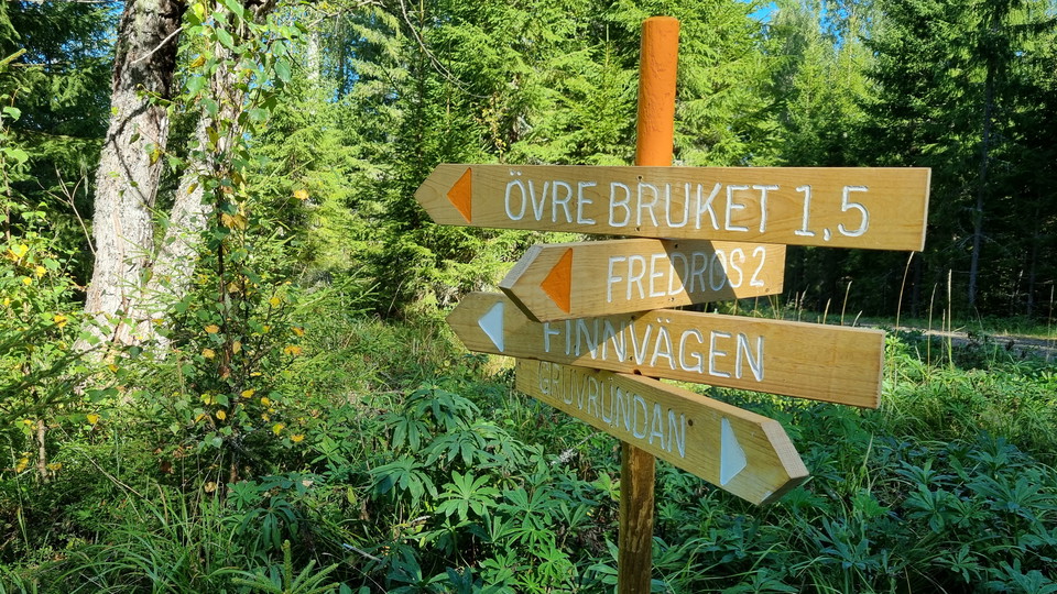
On Bruksleden, approximately by the border between Sunne and Arvika municipalities, the trail splits in two directions. The sign of the south trail sais "FREDROS 2" (the north one sais "ÖVRE BRUKET 1,5"). The path which joins the snowmobile trail here, continues 300 m through spruce forest to a timber road. You follow it for 1,6 km and end up in central Fredros by the Old Store (Gamla affären).
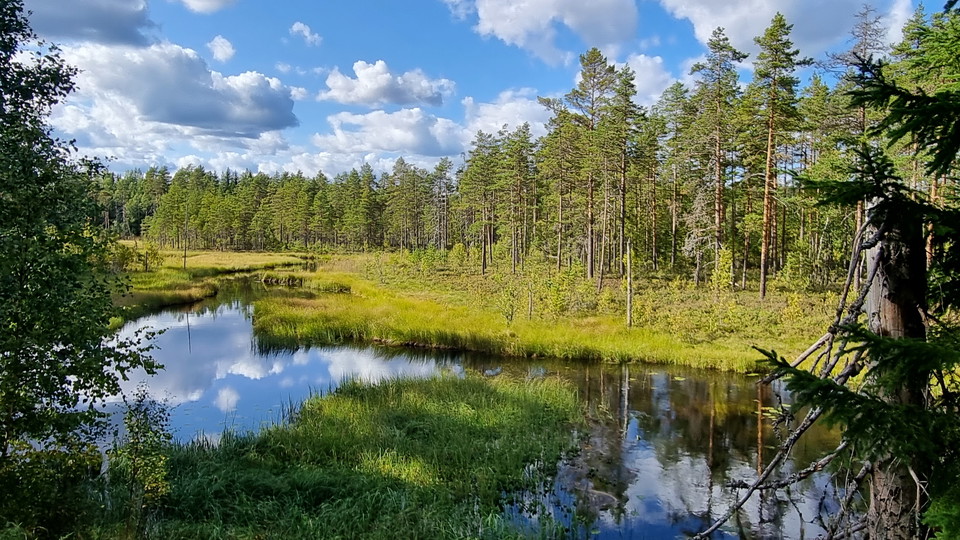
From Gruvrundan to Fredros this way, it is 3,7 km. Along the way you can see Bruksälven at one point.
From spring 2024 there will be a parking area for 15-20 cars at Treens Camp Ground, which has an access walkway of 1 km to the junction in Fredros (see map).
Działania i udogodnienia
- Wędrówki piesze
Kontakt
Adres
Besöksadress:
Visit Arvika
Arvika Turistcenter
Storgatan 22
671 31 Arvika
www.visitarvika.se
Adres e-mail
Visit Arvika
Logotyp organizacji

Byłam tu
Chcę tu iść
Pytania i Odpowiedzi
Zadaj pytanie innym użytkownikom Naturkartan.
Opinie
0 recenzji
- 5 :
- 4 :
- 3 :
- 2 :
- 1 :
Zdjęcia użytkowników
Nie ma jeszcze żadnych zdjęć użytkowników. Bądź pierwszym, który je udostępni!
