Brattfallet / Halgåleden
Att göra
- Województwo: Värmlands län
- 6803.75 km od Ciebie
Akcje
Opis
A very loved walking path, much because of the beautiful nature and the historic surroundings. The trail is classed as a Hiking Värmland trail.
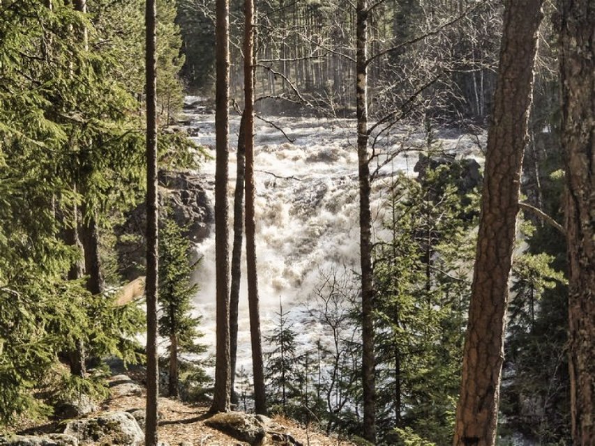
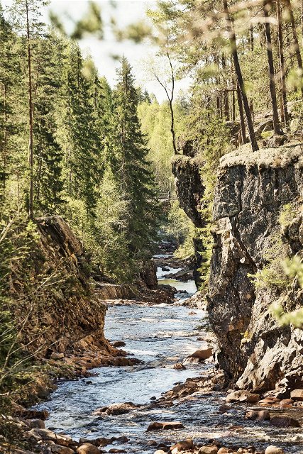
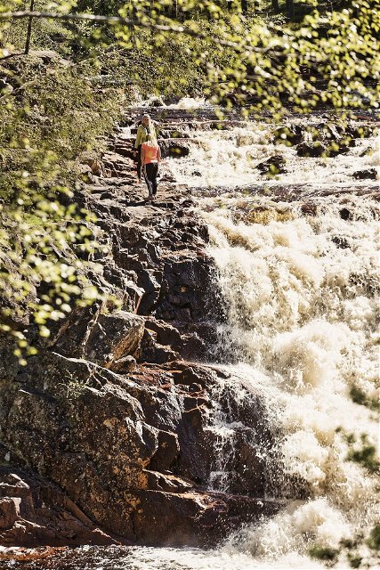
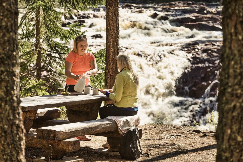
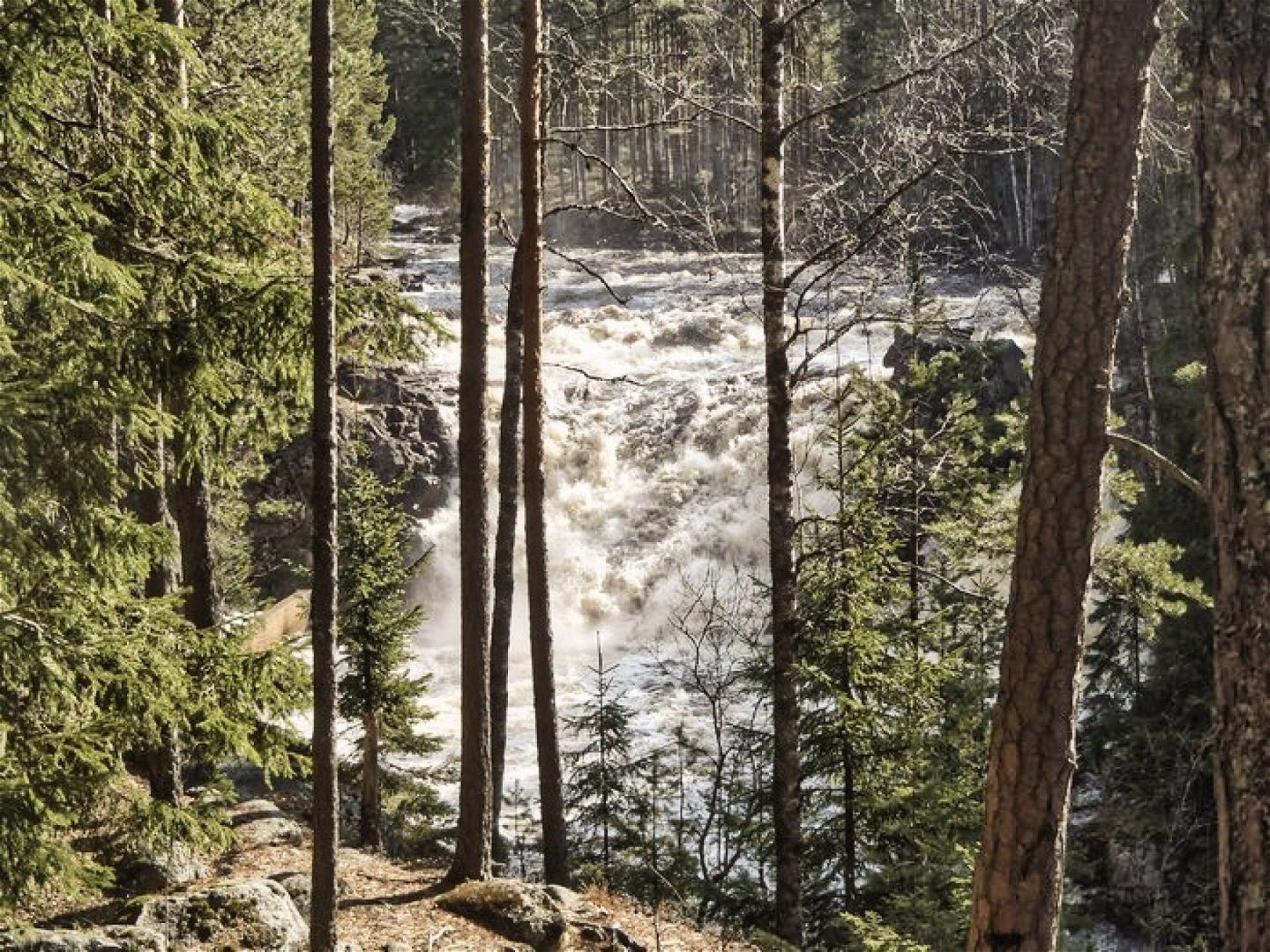
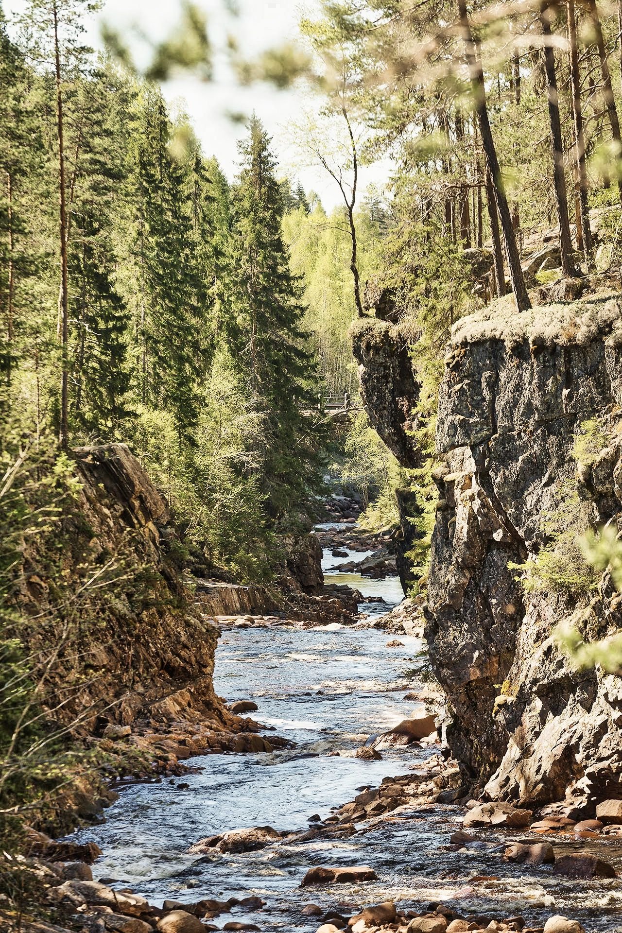
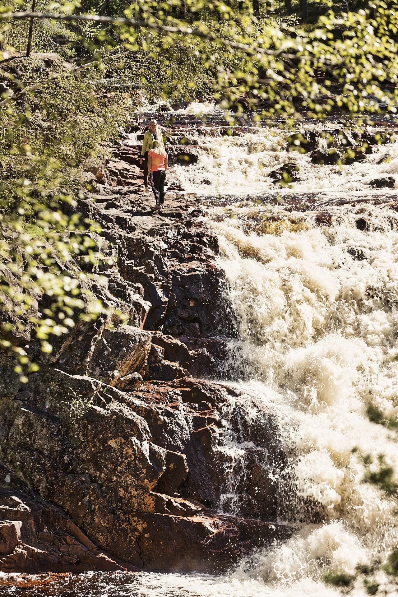
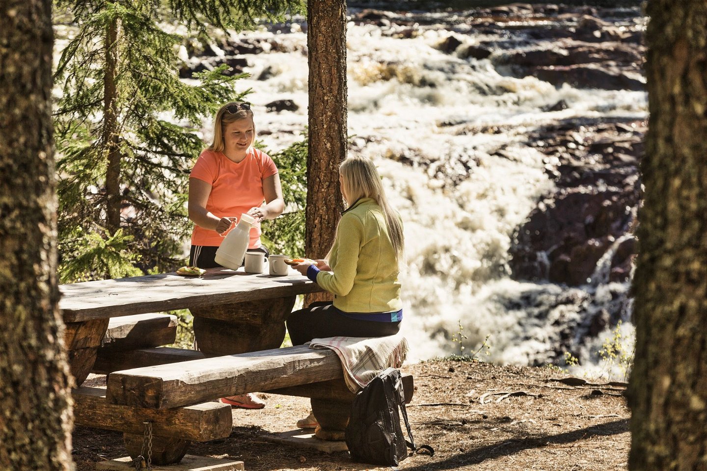
LENGTH: About 10 km of hiking trails in total. STARTING POINT: At Brattfallet about 12 km north from Ekshärad along the road on the east side of the river Klarälven. WORTH SEEING: Brattfallet is a 10 meter high waterfall. The beautiful stone bridge dates back to 1923 when the road was built by hand over the mountains of previously roadless land. During high flow of water, the waterfall is very powerful. Summertime, when the water flow is low you can climb on the stone walls. After the waterfall Brattfallet, Halgån flows through a canyon.DESCRIPTION: At Brattfallet there is a parking space for buses, handicap parking, information boards, picnic areas with tables and also outdoor privy adapted to disabled. Three hiking trails starts at Brattfallet:- The 1 kilometer trail is easy to walk and reaches from the river to the old floating pond. The trail passes an old charcoal burning site. 500 meters of this trail is suitable for wheeled objects.- The path of 2 km is a fun walk in the woods for children to run around.
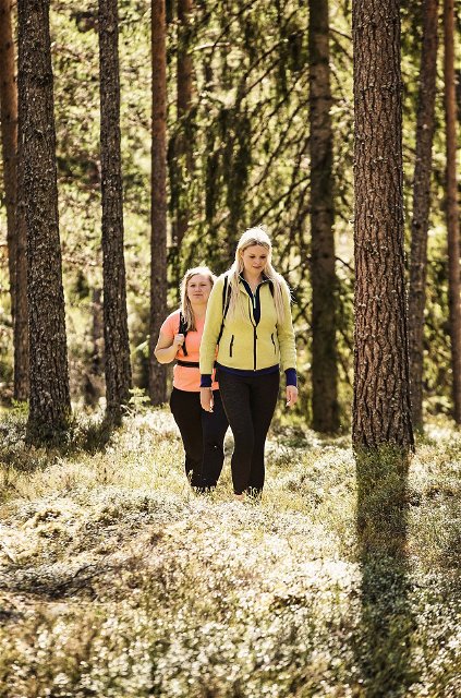
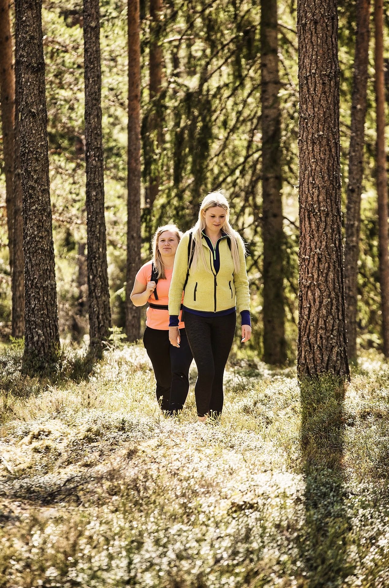
- The nearly 7-kilometer Halgå trail is at times very tough with large level differences. Trail routing is designed to show how the forces of nature have shaped the landscape from the Ice Age to the present. The trail has a magnificent view of the countryside and over the river Klarälven. You'll find windbreaks along the trail. The nature you'll walk in is very varied: Old pines by the waterfall's Canyon, natural old mixed forest at the esker, lush leave forrest in ravines, natural old forest along the tributary Vångan and skinny pine forrests at flight dune fields. The fish species in the waters are grayling, trout and salmon of the River Klarälven. Nearby Brattfallet and the Halgå trail there are many ancient sites such as charcoal pits, tar pits and traps for moose and wolves. Remains from Halgå Wrought iron works and many kilns shows our country´s history. Along the trails there's bridges, footbridges, stairs and shelters. You'll also find information boards, in both English and German.During high flow of water, some parts of the Halgå trail will be extremely difficult to pass. Alternative trails are therefore marked out in two places, past the most difficult passages. But new landslides may suddenly form. Then it can be an adventure to get around!The trail is qualified according to the rules from Hiking Värmland. Read more at https://visitvarmland.com/destinationer/hiking-varmland/.
Działania i udogodnienia
-
Wędrówki piesze
-
Att göra
Kontakt
Adres e-mail
Kontakta VisitVärmland
Logotyp organizacji

Należy pamiętać, że niektóre z tych tekstów zostały przetłumaczone automatycznie.
Pytania i Odpowiedzi
Zadaj pytanie innym użytkownikom Naturkartan.

