
-
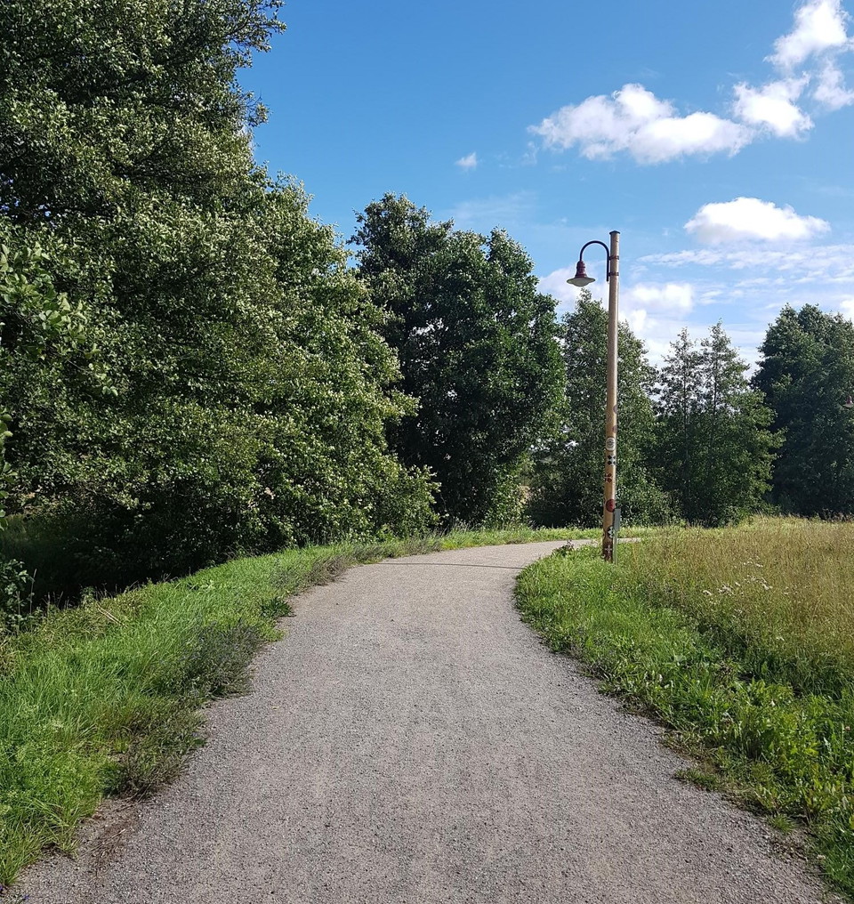
Mellan Sanda Ängar och Bollstanäs belyses stråket av lyktstolpar med konstnärlig utsmyckning.
Zdjęcie: Henrik de Joussineau -
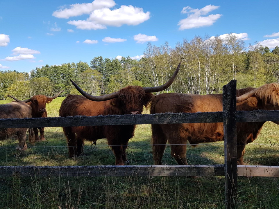
Stråket passerar precis intill beteshagen med djuren som betar och håller dalen öppen.
Zdjęcie: Henrik de Joussineau
Upplevelsestråket - Sanda ängar - 1,1 km
- Wędrówki piesze
- Województwo: Stockholms län
- 6821.36 km od Ciebie
Szczegóły dotyczące szlaku
- Długość 1.1 km
Akcje
Opis
With Upplevelsestråket you can get close to nature and experiences in the municipality in an easy way. The trail runs along the old waterways between Saltsjön and Mälaren, which were already used for transportation in Viking times.
The route is divided into twelve stages and has a total length of just over 40 kilometers.
There was a Viking village at Sanda Ängar from 500-1050 AD. Today, small houses are being built nearby. There are also ponds for purifying stormwater from Frestadalen. A traditional gravel road takes you between the forest edge and the fenced pasture.
The experience trail is a collaborative project between Upplands Väsby municipality, associations and landowners.
In the map guide you will find information about the stages and attractions of the Experience Trail.
Działania i udogodnienia
- Wędrówki piesze
Komunikacja
Sanda Ängar dociera autobusem ze stacji Upplands Väsby, odjeżdża do Bollstanässkolan. Alternatywnie, autobusem do Sandavägen i przejść pod wiadukt południe w kierunku Norrviken.
Wskazówki dojazdu
Sanda Ängar can be reached by bus from Upplands Väsby station, getting off at Bollstanässkolan. Alternatively, take the bus to Sandavägen and walk under the viaduct south towards Norrviken.
Kontakt
Adres
Ring: 08- 590 970 00 Felanmälan natur: ekontoret.upplandsvasby.se
Adres e-mail
Henrik de Joussineau
Logotyp organizacji

Należy pamiętać, że niektóre z tych tekstów zostały przetłumaczone automatycznie.
Byłam tu 4

Chcę tu iść 3
Pytania i Odpowiedzi
Zadaj pytanie innym użytkownikom Naturkartan.
Opinie
0 recenzji
- 5 :
- 4 :
- 3 :
- 2 :
- 1 :
Zdjęcia użytkowników
Nie ma jeszcze żadnych zdjęć użytkowników. Bądź pierwszym, który je udostępni!
