Nyhet!

Nu kan du dela dina bilder på Naturkartan! 📸

Czytaj więcej

Nydalaleden, St. Birgitta Ways South

  • Pilgrim Trail
z 5 gwiazdek

Szczegóły dotyczące szlaku

  • Długość 150.3 km

Akcje

  • Wskazówki dojazdu

Opis

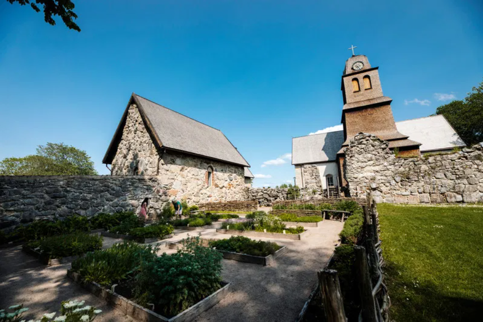
The Nydalaleden is a pilgrimage trail that follows the footsteps of the first people to populate Sweden – a road that has been continuously updated and transformed into both the National Road and the E4. The trail, which runs parallel to the Lagaån River for several stretches, passes many interesting ancient monuments and allows you to discover both small picturesque villages and forest and meadow land. The trail runs from the border with Skåne up to Nydala Abbey where it converges in a larger network of pilgrimage trails. The network nevertheless extends from Trondheim in Norway to Santiago de Compostela in Spain.

Prognoza pogody (o godz. 12:00)

Wczytywanie…

Dojazd środkami transportu publicznego

Działania i udogodnienia

  • Pilgrim Trail

Pobrane pliki

Kontakt

Adres

Har du frågor kring leddragningar eller intressepunkter på St. Birgitta Ways kartguide. Kontakta då pilgrimsutvecklare Emanuel Eriksson

Adres e-mail

Linköpings stift, Svenska kyrkan

Byłam tu

Chcę tu iść

Opinie

—

0 recenzji

z 5 gwiazdek

5 :
0.0%
4 :
0.0%
3 :
0.0%
2 :
0.0%
1 :
0.0%

Pytania i Odpowiedzi

Zadaj pytanie innym użytkownikom Naturkartan.

Zdjęcia użytkowników

Udostępnij swoje zdjęcia tego miejsca!

Naturkartan

Otwórz to w aplikacji