Åsedas elljusspår
Elljusspår
- Województwo: Kronobergs län
- 6503.02 km od Ciebie
Szczegóły dotyczące szlaku
- Długość 2.2 km
- Trudność Niebieski - średni
Akcje
Opis
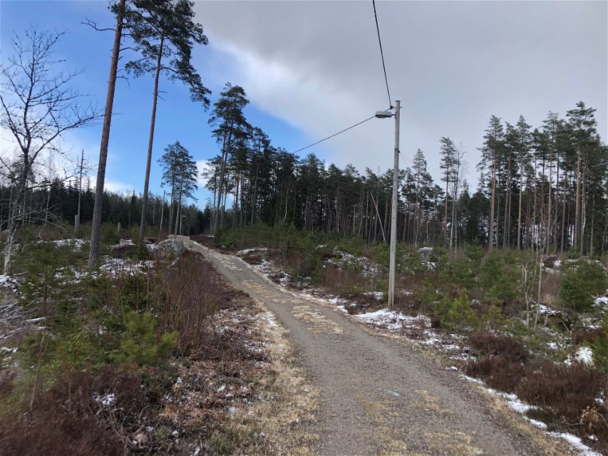
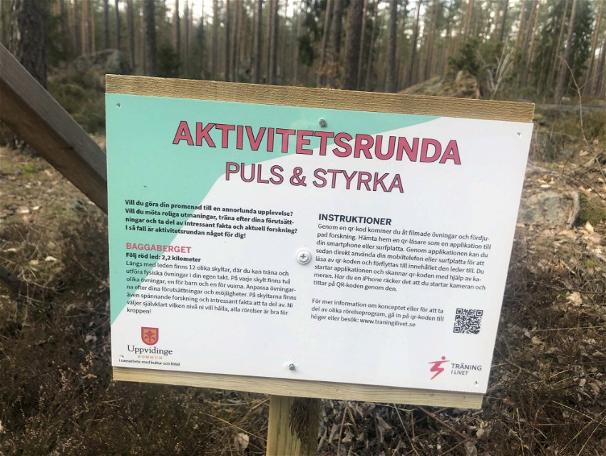
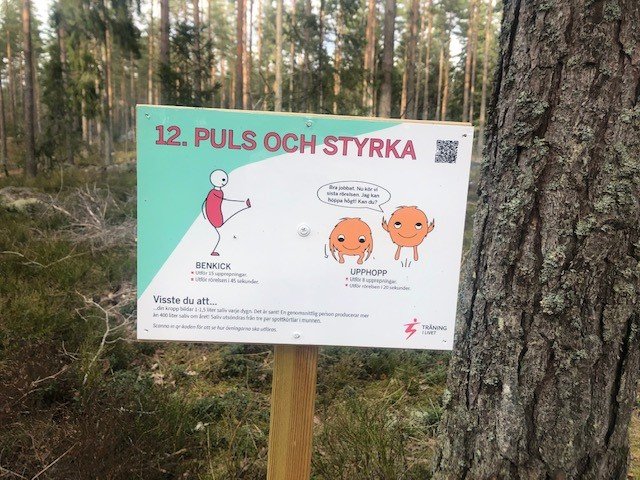
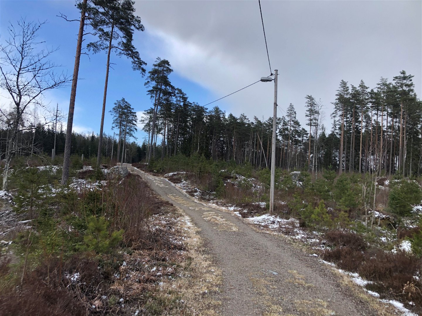
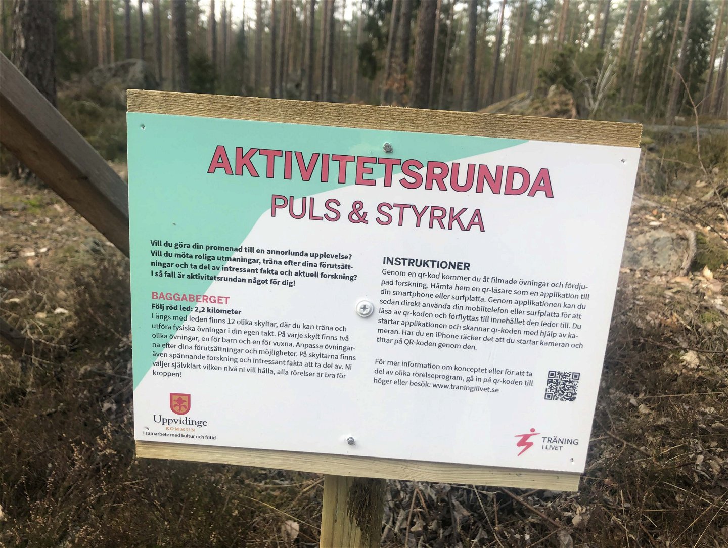
A bit north of Åseda is there a 2,2 km long floodlit trail. The trail has some slopes and is lit until 22 in the evening. Along the trail is there 12 signs with workout ideas. In the winter is there ski trails.
Działania i udogodnienia
-
Mountainbike
-
Bieganie
-
Narciarstwo
-
Promenad
-
Rundslinga
-
Elljusspår
Dostępność
-
Blisko parkingu
-
Dostęp dla wózków dziecięcych
Fakty
Åseda floodlit trail was created in 1969. Kexholms SK is responsible for the care of the trail.
Powierzchnia
Gravel
Roślinność
The trail goes in a variating nature.
Parking
There is parking space in connection to the trail.
Wskazówki dojazdu
The trail is north of Åseda close to the exit towards Hultanäs.
Kontakt
Adres e-mail
Kultur- och fritidsavdelningen i Uppvidinge kommun
Należy pamiętać, że niektóre z tych tekstów zostały przetłumaczone automatycznie.
Pytania i Odpowiedzi
Zadaj pytanie innym użytkownikom Naturkartan.

