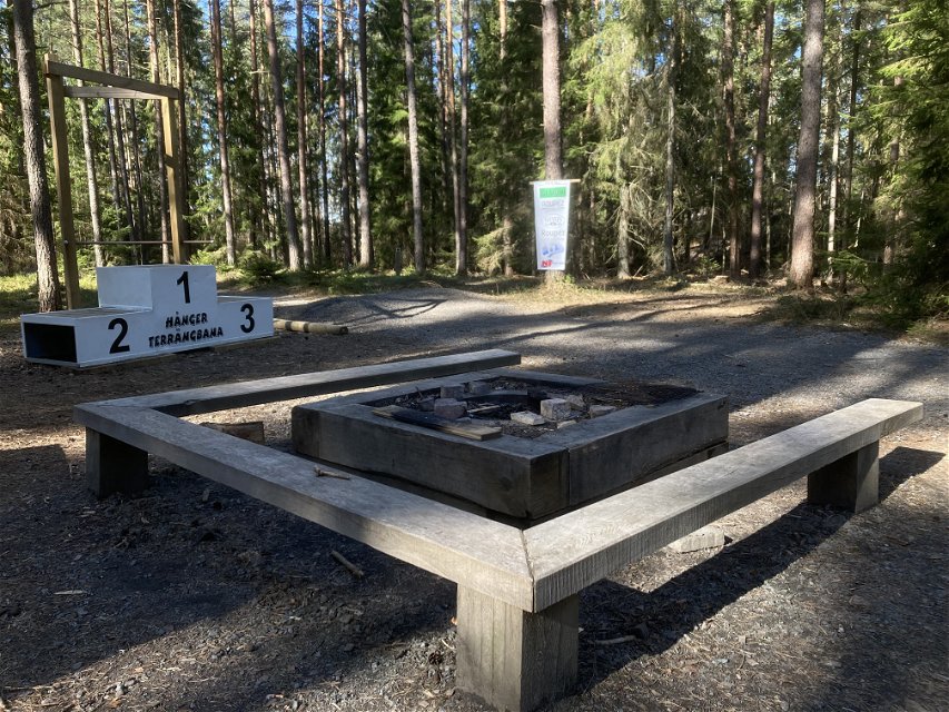


Mountainbike, röd led, Hånger Terrängbana
Mountainbike
- Województwo: Jönköpings län
- 6468.07 km od Ciebie
Szczegóły dotyczące szlaku
- Długość 2.5 km
Akcje
Opis
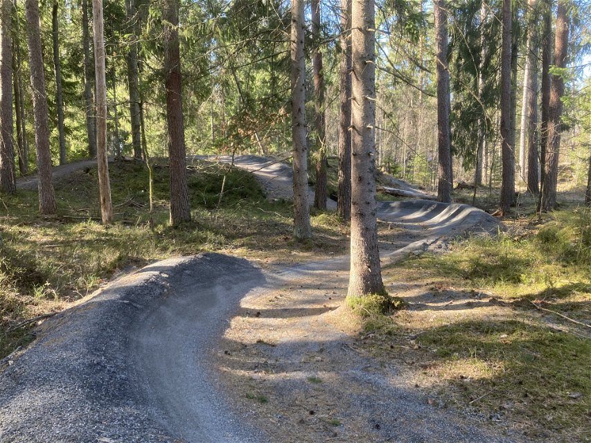
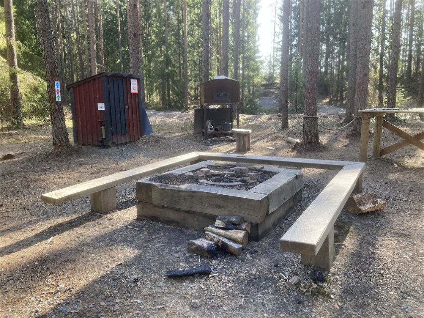
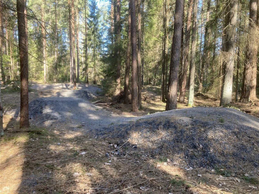
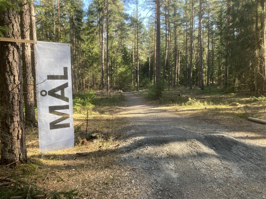
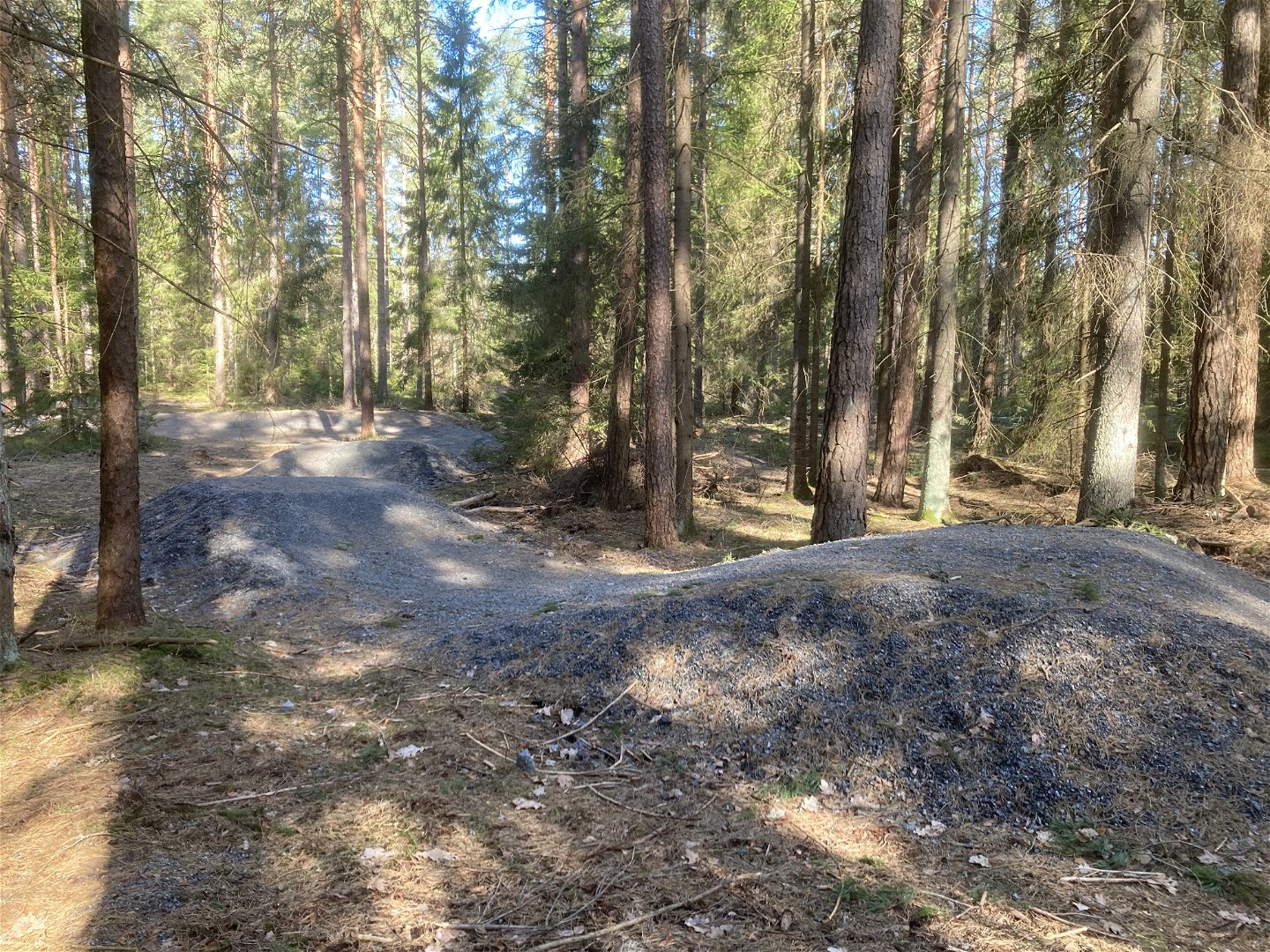
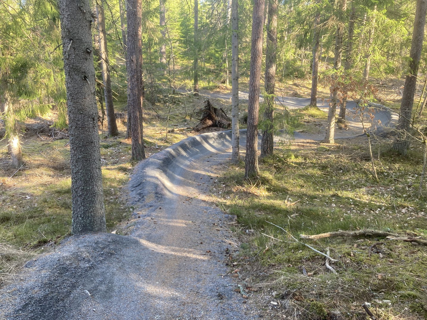
The Hånger
off-road course is a specially built MTB area with several different trails to
choose from. Pedal your way through beautiful coniferous forest, feel the
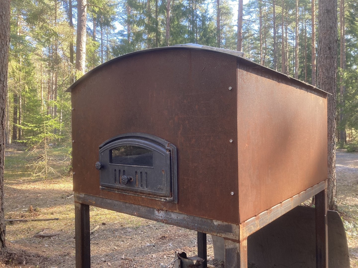
pressure in the banked curves, try exciting jumps and drops and take a
well-deserved break at the start/finish area where there is a pizza oven to
provide a little sense of luxury.
The
courses are of varying lengths: the red trail is 2.5 km, the green trail is 1.8
km and there is a shorter practice course next to the start/finish area. The
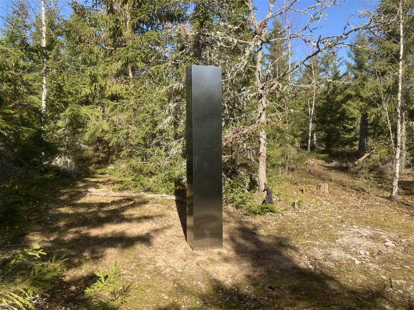
green trail follows the same route as the red trail, except in two places where
the green trail takes short cuts. On one of these short cuts, there is a
mythical monolith.
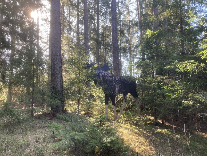
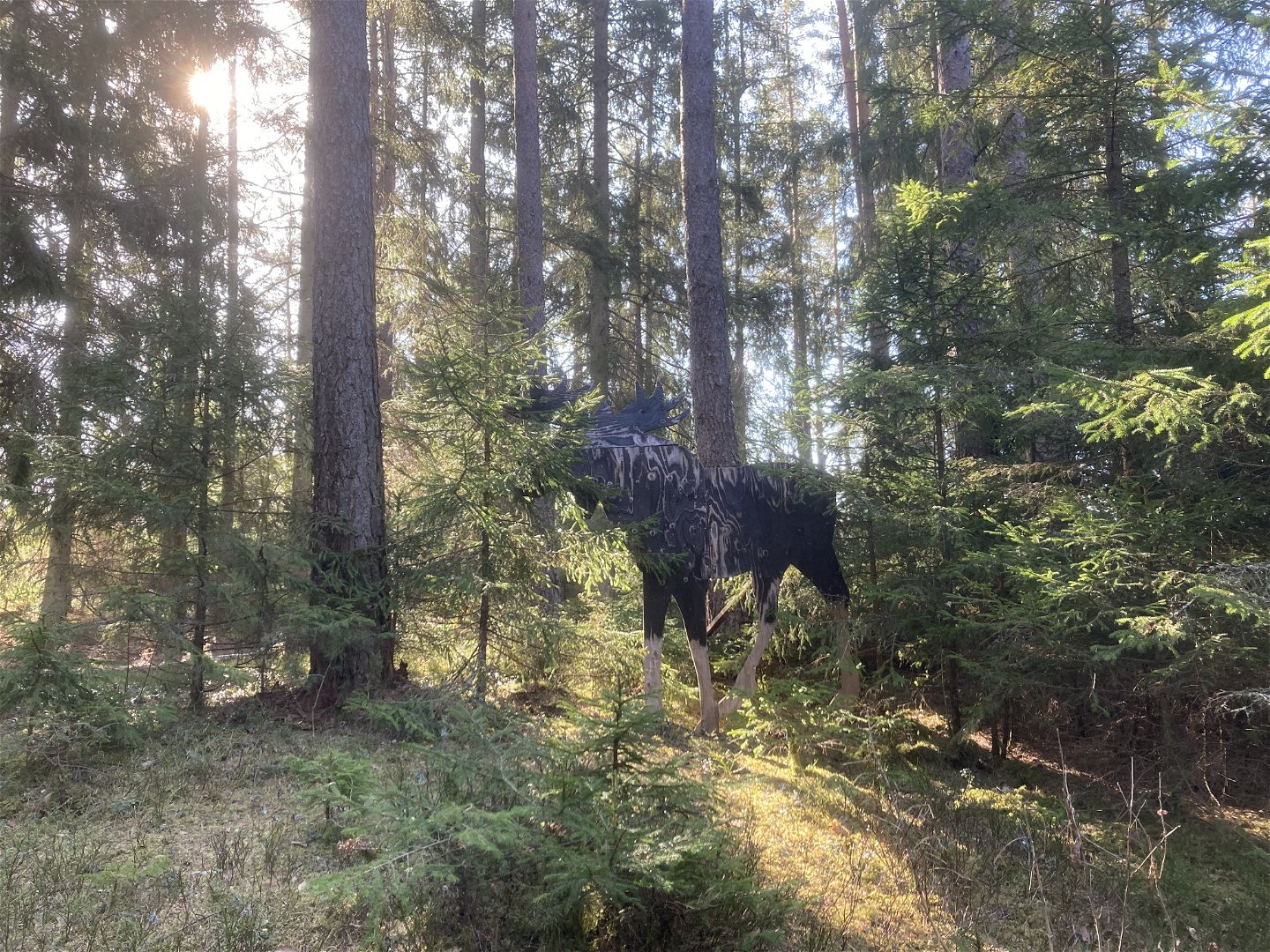
Look out for animals along the courses! Beautifully
made wooden figures of various life-size wild animals are hiding along the trail.
Which ones will you manage to find?
Działania i udogodnienia
-
Mountainbike
Powierzchnia
Some forest trails and some gravelled roads.
Wzgórza
Slightly hilly terrain without major changes in elevation/
Parking
There are
parking spaces for about 3 cars directly adjacent to the off-road track.
More
parking spaces are available at Snickar-Per on the other side of the old
embankment.
Komunikacja
The Hånger Missionskyrka bus stop is located in the centre of Hånger, on the other side of the embankment as seen from the off-road track. The 275 bus runs between the bus stop and Värnamo.
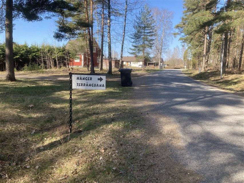
Wskazówki dojazdu
Drive
from Värnamo towards Hånger. When you enter the community of Hånger, continue along
the main road until you pass the railway embankment. Then turn directly left
onto Stationsvägen road. Drive about 300 metres and then turn right onto
Norregårdsvägen road. After 150 metres you will reach the car park.
If you
come by car from the south on the E4 motorway, turn off at the community of Lagan
and follow the signs for Vittaryd. In Vittaryd, follow the signs for Forsheda
and continue for about 11 km and then follow signs for Hånger.
When you enter the
community of Hånger, continue to follow the main road until you pass the
railway embankment. Then turn direct left onto Stationsvägen road. Continue for
about 300 metres and then turn right onto Norregårdsvägen road. After 150
metres you will reach the car park.
Kontakt
Adres
Kontaktcenter Värnamo kommun
Kyrktorget 1, 331 83 Värnamo
Telefon 0370-37 70 00
www.varnamo.se
Adres e-mail
Kontaktcenter Värnamo kommun
Logotyp organizacji
![]()
Należy pamiętać, że niektóre z tych tekstów zostały przetłumaczone automatycznie.
Pytania i Odpowiedzi
Zadaj pytanie innym użytkownikom Naturkartan.
