
Påarp – Mellbystrand, Hallandsleden
- Wędrówki piesze
- Województwo: Hallands län
Szczegóły dotyczące szlaku
- Długość 13 km
- Trudność Zielony - prosty
Akcje
Opis
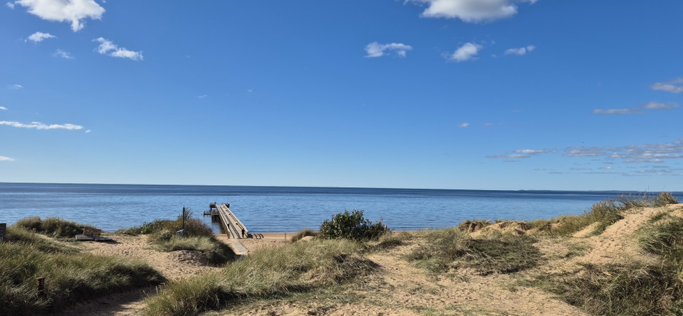
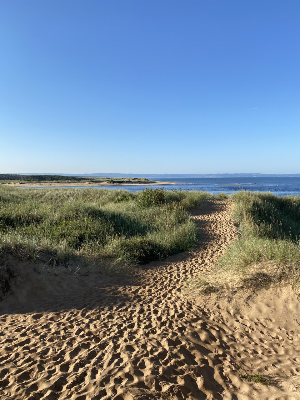
The trail passes through Halland’s largest Iron Age burial site, about 2000 years old, then continues along the beach heathlands past the Laxvik bathing area. It runs through the coastal forest at the Gullbranna Nature Reserve, crosses the Genevadsån river, and then enters the Tönnersa Nature Reserve. The Snapparp picnic site offers beautiful views over Lagaoset, the mouth of the Lagan river. The trail then continues over the Lagan river and into the Hökafältet Nature Reserve, then along the coastal road in Mellbystrand to the historic Strandhotellet and the bus stop.
Działania i udogodnienia
- Wędrówki piesze
Pobrane pliki
Kontakt
Adres
0430-15000
Adres e-mail
Kontaktcenter
Logotyp organizacji

Byłam tu
Chcę tu iść
Pytania i Odpowiedzi
Zadaj pytanie innym użytkownikom Naturkartan.
Opinie
0 recenzji
- 5 :
- 4 :
- 3 :
- 2 :
- 1 :
Zdjęcia użytkowników
Nie ma jeszcze żadnych zdjęć użytkowników. Bądź pierwszym, który je udostępni!
