
-
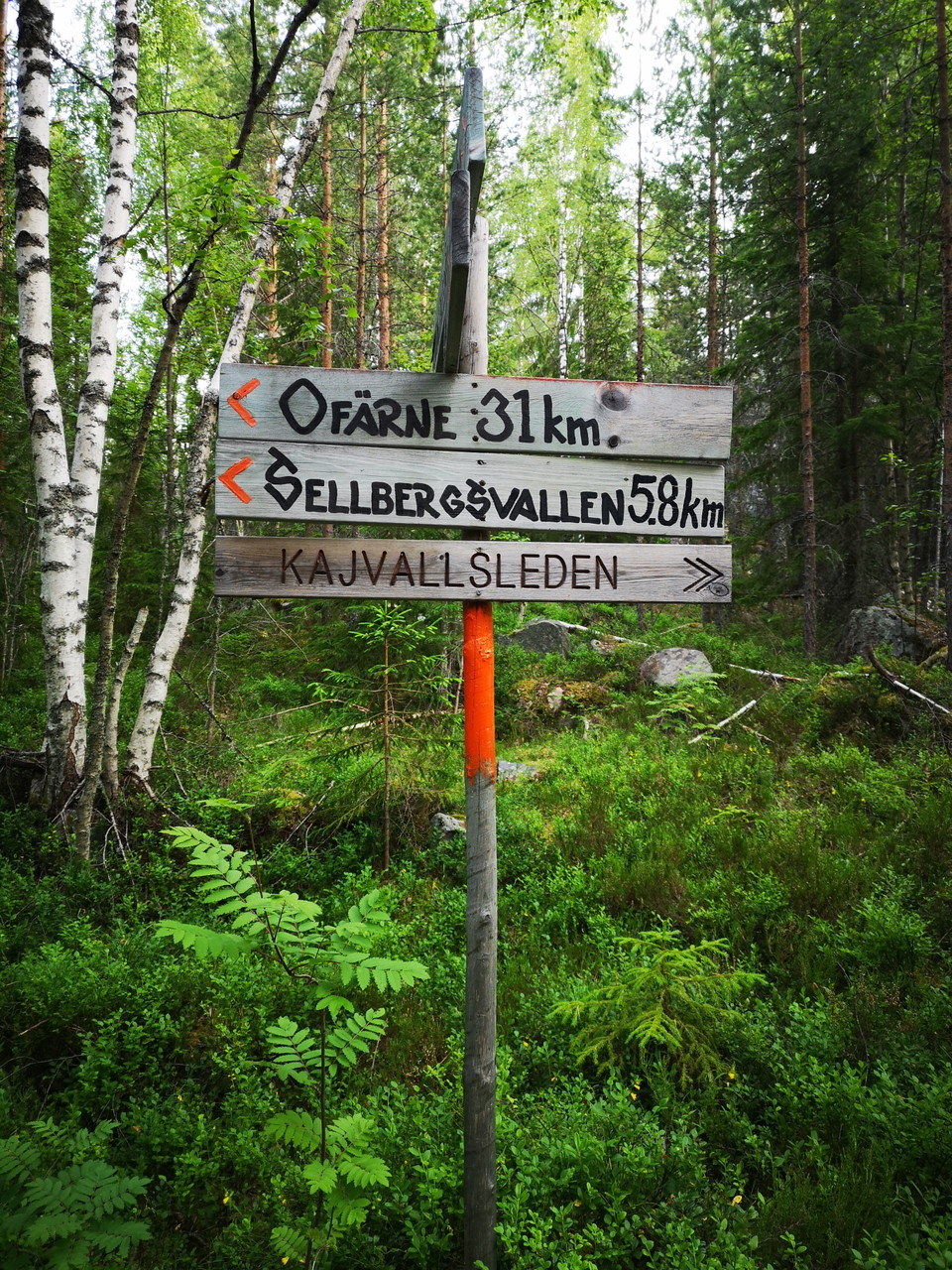
Här startar leden på Kolarberget -
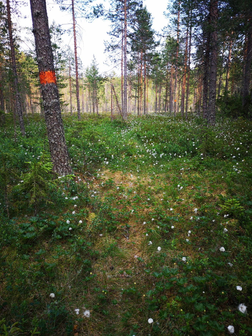
Myrar innan Långedetjärn -
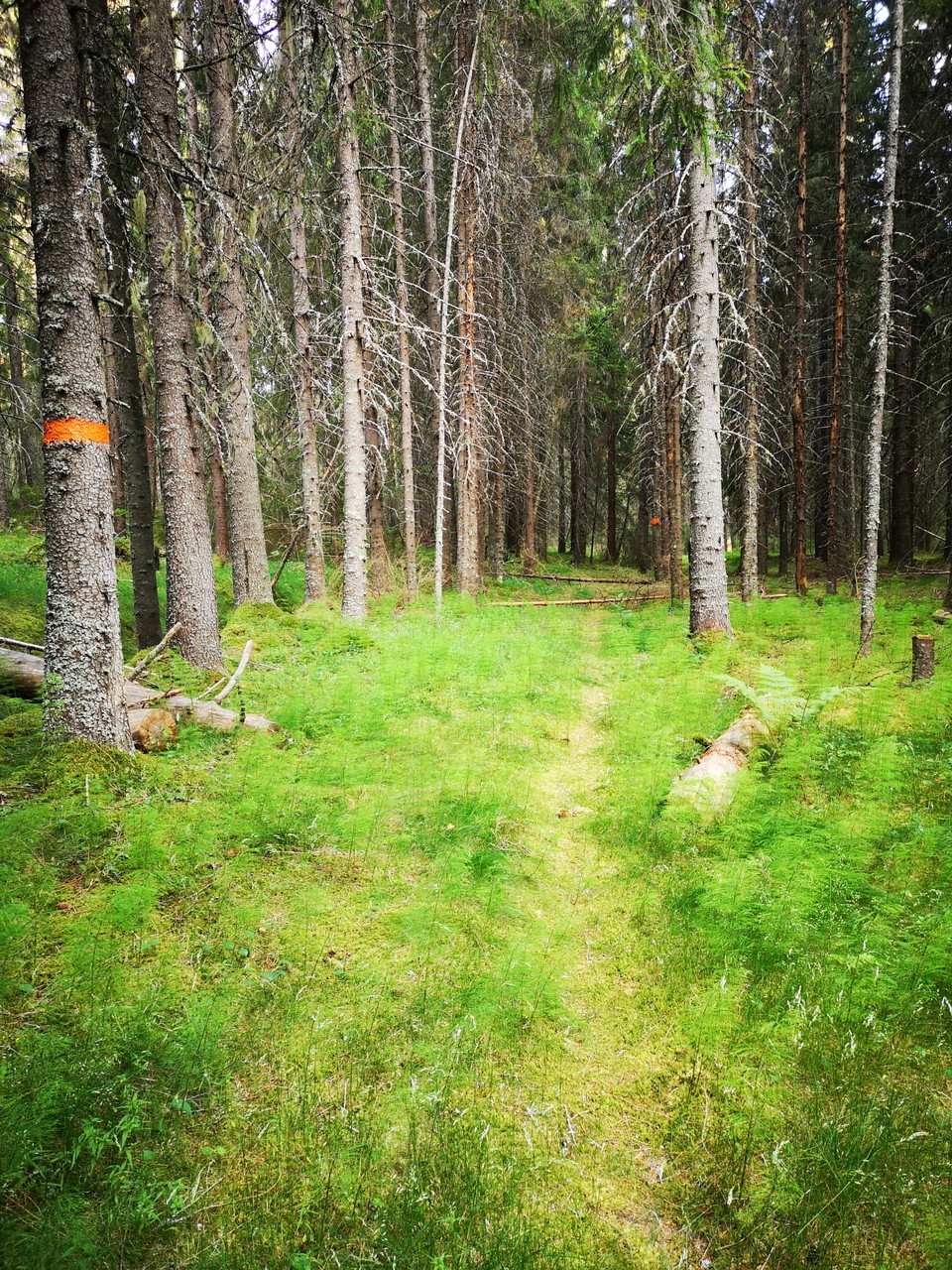
Kajevallsleden -
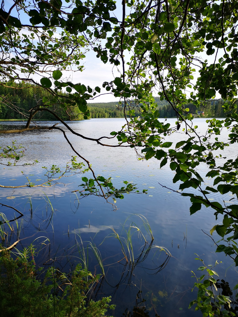
Långedetjärn -
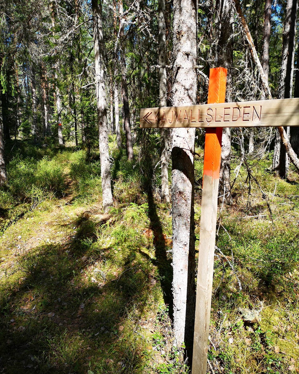
Kajevallsleden -
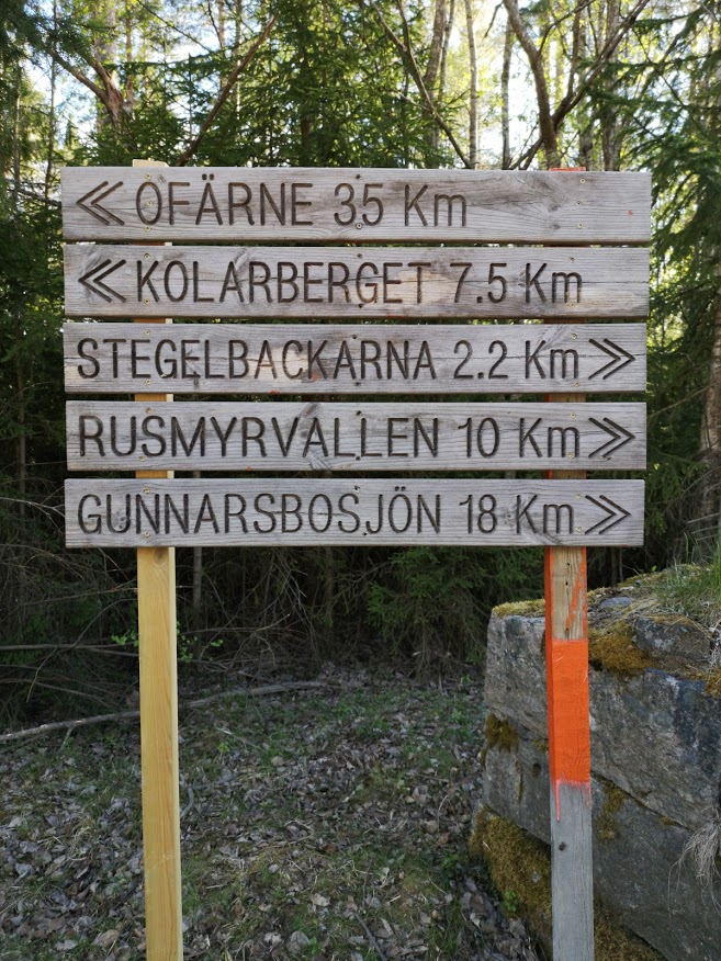
Skylt i Långede -
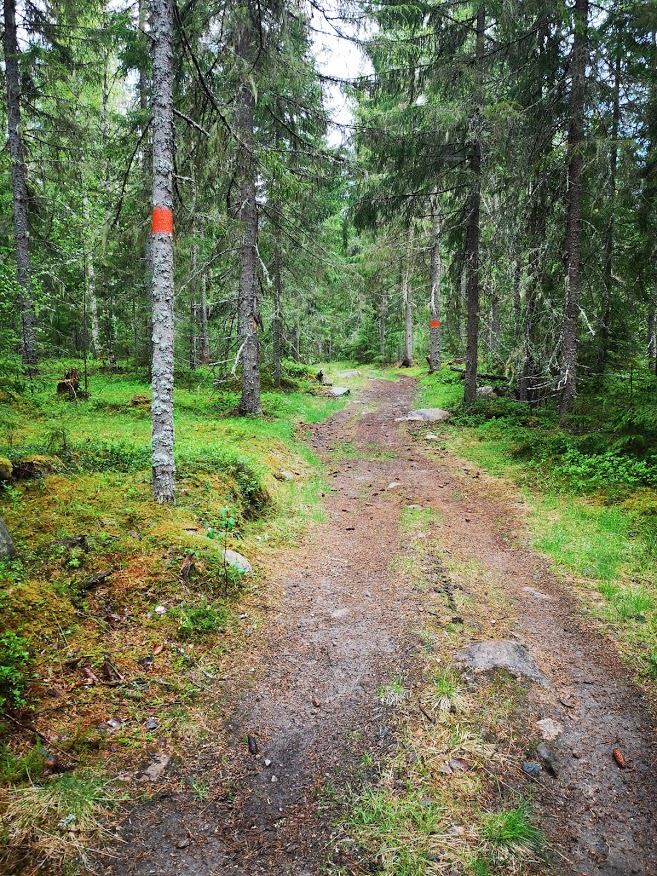
Långbacka -
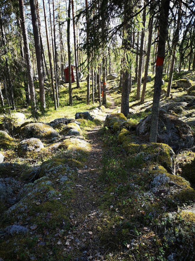
Fisberget -
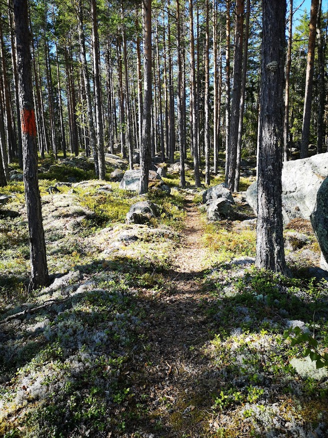
Fisberget -
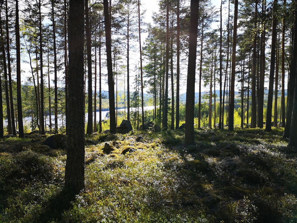
Fisberget -
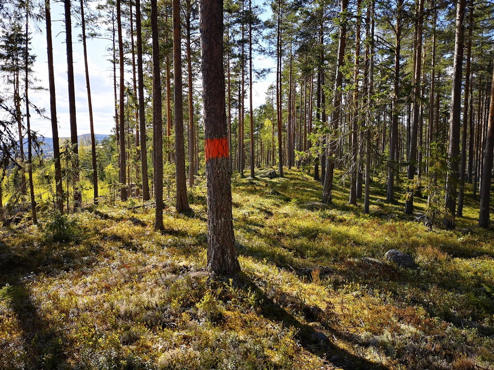
Fisberget
Kajvallsleden Delsbo - Ljusdal
- Wędrówki piesze
- Ciche miejsca
- Bieganie
- Bieganie szlakami
- Województwo: Gävleborgs län
- 6602.33 km od Ciebie
Szczegóły dotyczące szlaku
- Długość 47.0 km
- Czas 7 h 50 min
- Trudność Niebieski - średni
Akcje
Opis
Kajevallsleden is a 47 km long hiking trail between Delsbo and Ljusdal via Kajevall. Marked with orange color. In Delsbo, the trail starts at Kolarberget where it connects with Sjuvallsleden which goes to Ofärne in Forsa. In the spring of 2020, the 26 km of the Kajevallsleden trail that runs in Hudiksvall municipality up to Gunnarsbosjön has been marked with orange color. The rest of the trail is the responsibility of Ljusdal municipality. The trail runs along paths and smaller gravel roads through beautiful forests, past lakes and mountains with views. The trail passes high Rusmyrvallen.
Działania i udogodnienia
- Ciche miejsca
- Bieganie
- Wędrówki piesze
- Bieganie szlakami
Wzgórza
Łącznie 683 metrów wzrostu i 626 m w dół od Delsbo do Ljusdal.
Kontakt
Adres e-mail
Åsa Eriksson
Należy pamiętać, że niektóre z tych tekstów zostały przetłumaczone automatycznie.
Byłam tu 4


Chcę tu iść 24

Pytania i Odpowiedzi
Zadaj pytanie innym użytkownikom Naturkartan.
Opinie
1 recenzja
- 5 :
- 4 :
- 3 :
- 2 :
- 1 :
jag gick från ljusdal till delsbo i mitten av november 2022. nästan alla broar vid översvämmade bäckar var trasiga. mycket rester över leden från skogsbruk. räkna med motstånd på ledet under regniga perioder.
Zdjęcia użytkowników
Nie ma jeszcze żadnych zdjęć użytkowników. Bądź pierwszym, który je udostępni!

Hur är leden just nu