
-
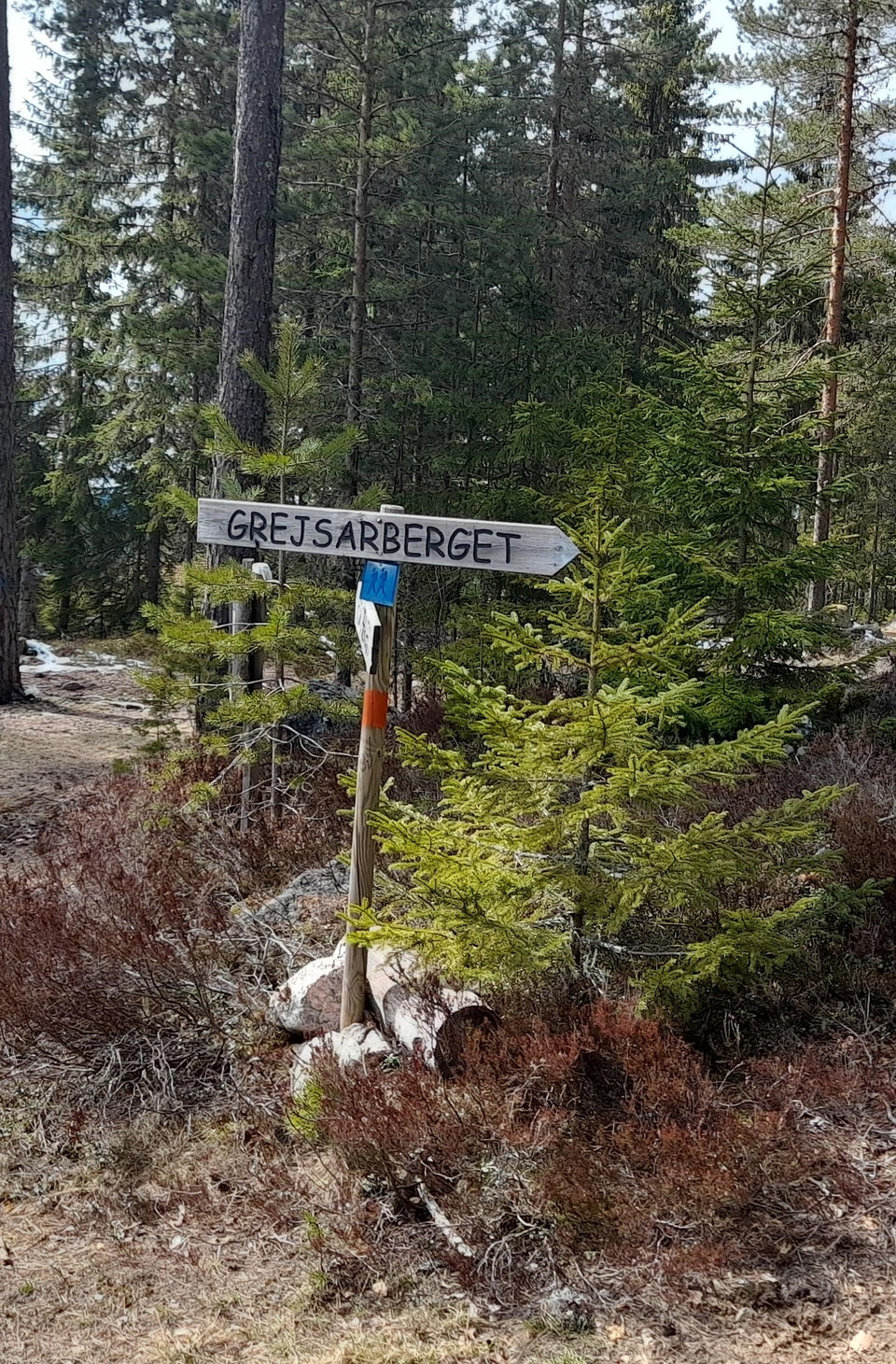
Zdjęcie: Gunnel Wåhlberg -
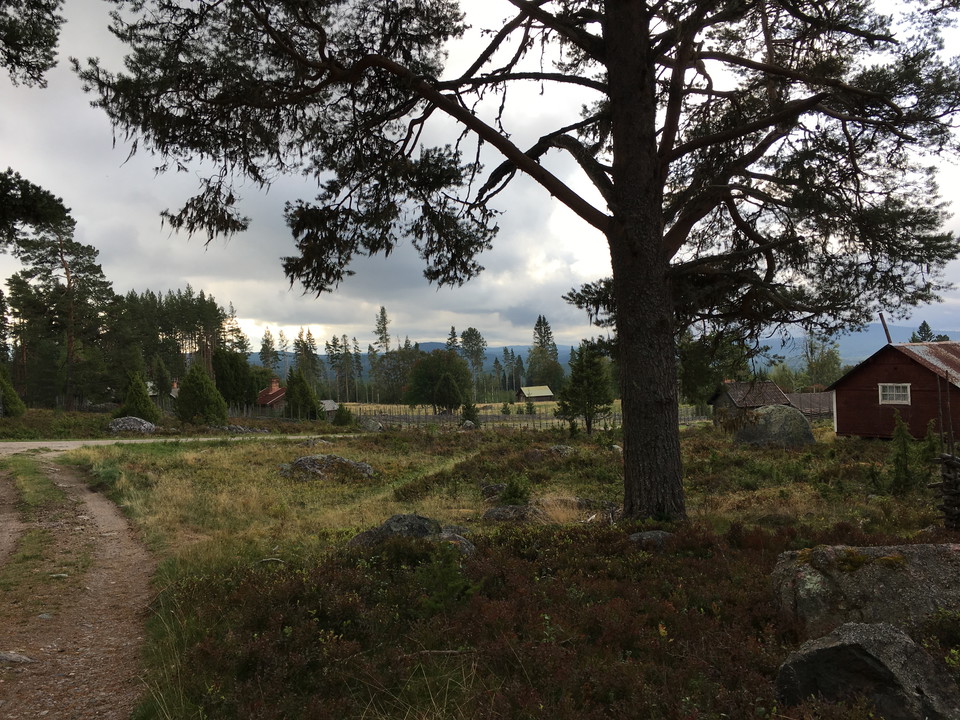
Vy över fäboden -
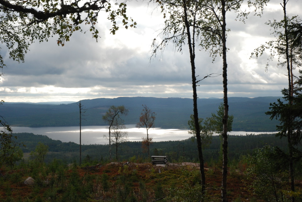
Rastplats halvvägs upp på berget. -
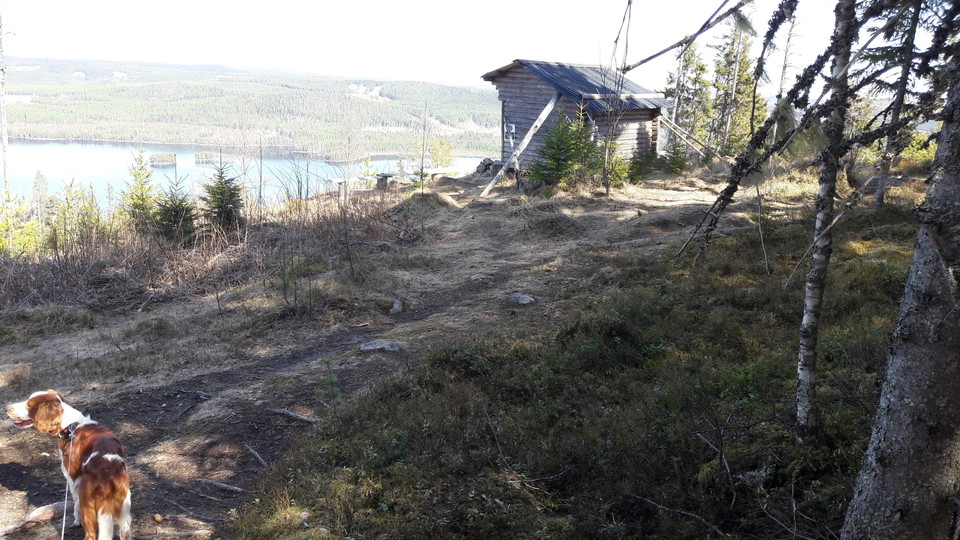
Vindskyddet på bergets topp.
Zdjęcie: Gunnel Wåhlberg -
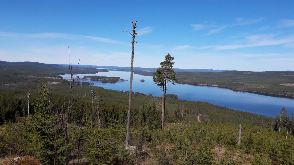
Utsikt över Amungen.
Zdjęcie: Gunnel Wåhlberg
Leder på Grejsarberget
- Wędrówki piesze
- Bieganie szlakami
- Blisko parkingu
- Przygody dla dzieci
- Województwo: Dalarnas län
- 6629.97 km od Ciebie
Szczegóły dotyczące szlaku
- Długość 5.0 km
Akcje
Opis
There have been many hiking trails around Grejsans fäbod. Several of these are marked and go through forests of varying types, young forest as well as old forest and clearings. Today, forestry is carried out with modern machines that leave new traces in the ground.
The most common is to take the trail up to the top of Grejsarberget. It starts from the turnaround at the top of the pasture. It is an easy hike at the beginning but slightly steep at the top. Fäboden is about 300 meters above sea level and the top 430 meters above sea level. Here you are offered a beautiful view of Svabensverk and lakes Hämmen and Amungen. The trail is about 2.5 km from the pasture, up to the top and back.
If you want a greater challenge, you can continue an eastern hike down Grejsarberget towards Amungen. The trail is clearly marked, but steeply downhill before you reach a forest road. Follow this road along the shore of Amungen for 1.5 km before turning off into the forest to get back to Grejsans fäbod. During the walk you will pass coal bunkers, ruins of coal huts, etc. The entire round is about 5.2 km long.
A third and slightly longer option is to start your hike down by road 50. About 1.5 km north of the turnoff to Grejsans fäbod, at the so-called Rakbrännan, it is possible to park on both sides of the road. From here it is about 2 km up to the shed. If you then walk all the way around Grejsarberget and back to Rakbrännan, you get a trip of almost 10 km.
Działania i udogodnienia
- Wędrówki piesze
- Bieganie szlakami
- Przygody dla dzieci
Dostępność
- Blisko parkingu
Fakty
Lederna på Grejsarberget är markerade med orange färg och skyltade med träskyltar. Lederna sköts av Envikens hembygdsförening.
Parking
Parking można zrobić na planie oczekiwania na końcu drogi w ogródku. Pamiętaj, że jest to plan skręcania i ustawić samochód, aby inni tam dotrzeć.
Wskazówki dojazdu
Z Falun jedziesz 50 w kierunku Söderhamn. Pass Enviken i Lamborn. Z Lamborn, jechać około 1 km i przejść jezioro po lewej stronie. Napęd kolejne 2 km i skręcić w lewo do Fäbod Grejsan, gdzie szlaki turystyczne zaczynają. Brak znaków drogowych, więc przynieś mapę dla bezpieczeństwa.
Pobrane pliki
Kontakt
Adres e-mail
Kontaktcenter Falu kommun
Logotyp organizacji

Należy pamiętać, że niektóre z tych tekstów zostały przetłumaczone automatycznie.
Byłam tu 5


Chcę tu iść 14


Pytania i Odpowiedzi
Zadaj pytanie innym użytkownikom Naturkartan.
Opinie
0 recenzji
- 5 :
- 4 :
- 3 :
- 2 :
- 1 :
Zdjęcia użytkowników
Nie ma jeszcze żadnych zdjęć użytkowników. Bądź pierwszym, który je udostępni!
