
-
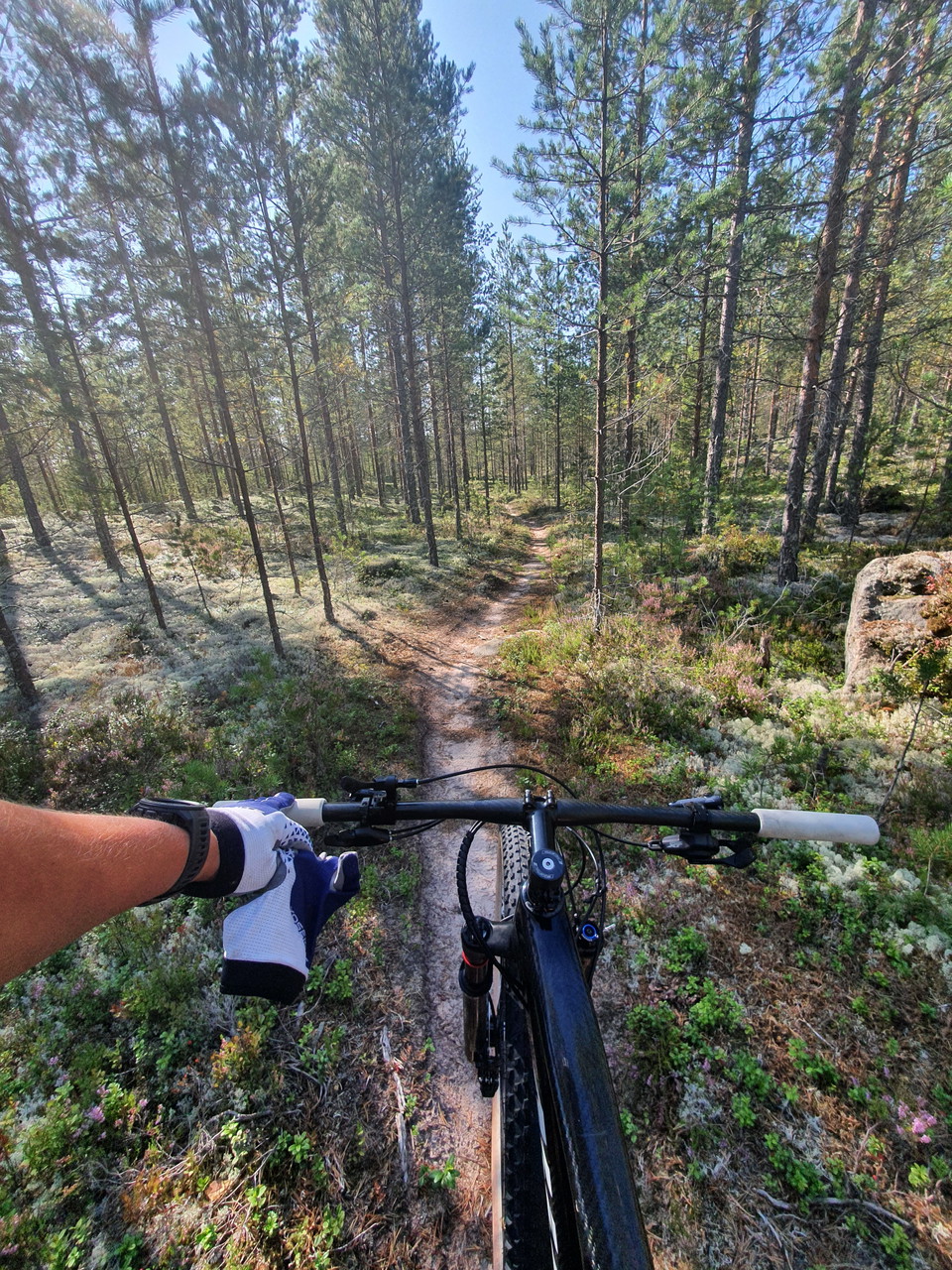
Zdjęcie: Patrik Larsson
Flögforsrundan
- Rower górski
- Województwo: Dalarnas län
Szczegóły dotyczące szlaku
- Długość 12.0 km
- Trudność Zielony - prosty
Akcje
Opis
Flögforsenrundan is a trail that runs on the protective embankment north from Vansbro, along the river Vanåns east shore and then over the old railway bridge where the start of Vansbrosimmet is. Here you come to Dalasågen and from there the trail turns into nice sand ridges. The path winds its way Forward through pine forest and sand ridges with really nice and easy to ride sections.
Length: 14km
Category: Blue
Type of bike: MTB
Foundation: Asphalt Gravel Path
Description: Starts at Vansbro Education Center.
A blue trail that suits most people, a few steep hills up some pine locks otherwise nice easy paths and roads.
There is an optional red section if you want a little more challenge. When you arrive at Flögforsen, by the nice bathing bay, the trail turns back towards Vansbro again along Vanån.
Działania i udogodnienia
- Rower górski
Pliki
Kontakt
Adres
0281-75 230
Adres e-mail
Vansbro kommun
Logotyp organizacji

Byłam tu
Chcę tu iść 1

Pytania i Odpowiedzi
Zadaj pytanie innym użytkownikom Naturkartan.
Opinie
0 reviews
- 5 :
- 4 :
- 3 :
- 2 :
- 1 :
Zdjęcia użytkowników
Nie ma jeszcze żadnych zdjęć użytkowników. Bądź pierwszym, który je udostępni!
