Nyhet!

Nu kan du dela dina bilder på Naturkartan! 📸

Lees verder

Sjöråsleden

  • Hiking
van 5 sterren

Pad details

  • Lengte 4.0 km
  • Tijd 1 u
  • Moeilijkheidsgraad Groen – eenvoudig

Acties

  • Routebeschrijving

Omschrijving

The Sjörås Trail begins at the charming craft village of Falkängen in Hällekis and leads you through the village toward the scenic Sjöråsån stream. Along the way, you’ll enjoy a peaceful walk through lush greenery, gentle meadows, and whispering woods.

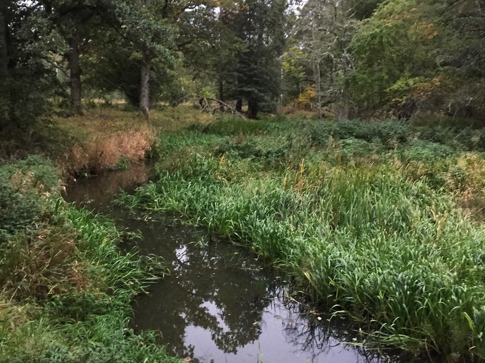
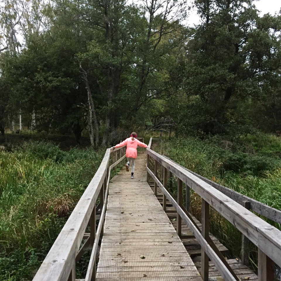
As you leave Hällekis behind, the landscape changes character. The path follows the winding stream through open pastures, leafy forest, and wooden footbridges.

Locals often call this route The Beaver Trail, thanks to the many signs of beaver activity you can spot along the stream. Children will love climbing on the fallen oaks, while benches placed along the way offer lovely spots to rest and take in the view.

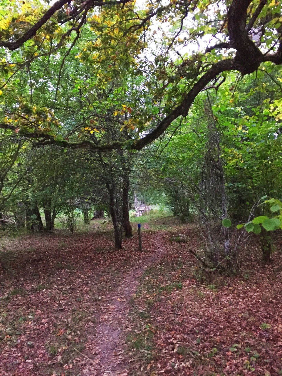
If you prefer a shorter walk, you can join the trail just outside Hällekis, near the stream. Follow the blue trail markers.

Weersvoorspelling (om 12.00 uur)

Laden…

Kom hier met het openbaar vervoer

Activiteiten en faciliteiten

  • Hiking

Routebeschrijving

per trein (Kinnekulletå The West Train * *

Neem de West Trein naar Hällekis Station.

Contact

Adres

För frågor om ledens sträckning, drift och skötsel samt boenden, restauranger och andra besöksmål i området, kontakta Destination Läckö-Kinnekulle.

E-mailadres

Destination Läckö-Kinnekulle

+46 510 200 20

Houd er rekening mee dat sommige teksten automatisch zijn vertaald.

Ik ben hier geweest

Ik wil hierheen 3

Beoordelingen

—

0 beoordelingen

van 5 sterren

5 :
0.0%
4 :
0.0%
3 :
0.0%
2 :
0.0%
1 :
0.0%

Vragen en antwoorden

Stel een vraag aan andere Naturkartan gebruikers.

Afbeeldingen van gebruikers

Deel je foto’s van deze plek!

Naturkartan

Open dit in de app