
-
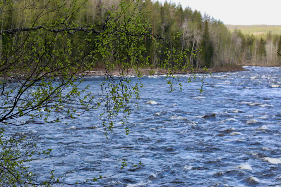
Foto: Emma Johansson -
-
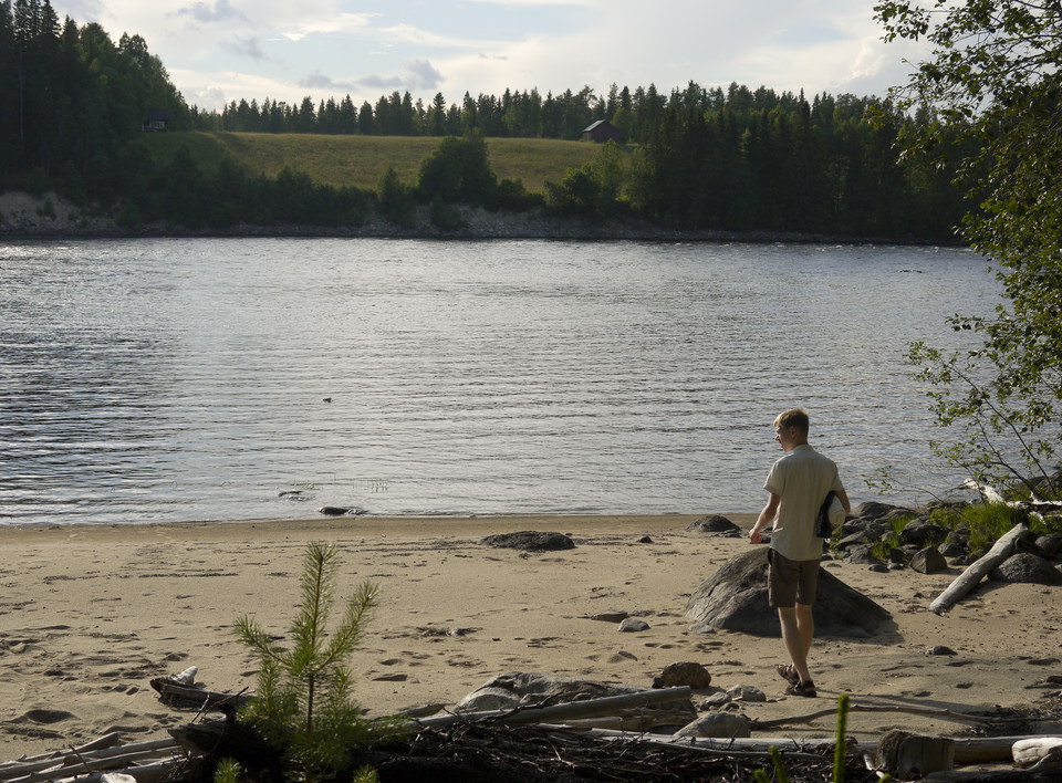
Foto: Emma Johansson -
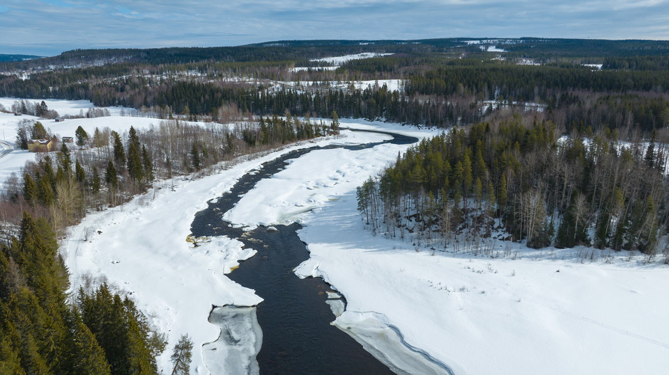
Foto: Linus Beimo -
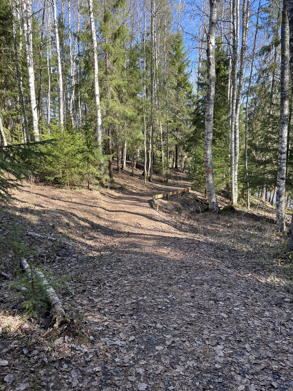
Vännforsen
- Natuurgebied
- Nabij parkeerplaats
- Nabij openbaar vervoer
- Regio: Västerbottens län
Acties
Omschrijving
The logs are jumping in the rapids. Some of them are forced up onto the land. The loggers are quickly on the spot, pushing them back into the water at Vännforsen. Many of them can barely swim, yet they still jump fearlessly to break up the logjams that form by the banks.
This is probably what it looked like by the Vindelälven river 60 years ago. Vännforsen is now a wild, untamed set of rapids on the Vindelälven river. It is fortunate that Evert Taube included the river in his song about Änglamarken. As a result, the plans to regulate the Vindelälven river were abandoned. Today, it is one of Sweden’s four national rivers. They must continue to run freely.
The largest spring flood
Water drains into the Vindelälven river from a very large area. No other Swedish mountain river demonstrates such a big difference between the high water level in the spring and the low water level during the winter. The huge volumes of water tear down trees and plants. They are left as white, worn tree trunks along the riverbanks, sometimes well into the forest further downstream. Parts of dead plants collect behind the trunks. This material transforms into compost, releasing large amounts of nutrients and allowing seeds to grow easily.
A herb-rich forest
At the Vännforsen rapids, the river has cut its way down through layers of soil. On the western side, you can see fresh screes, while on the eastern side the steep slopes are covered with tall, herb-rich forest.
Activiteiten en faciliteiten
- Natuurgebied
Toegankelijkheid
- Nabij parkeerplaats
- Nabij openbaar vervoer
Routebeschrijving
Vanaf de E12 gaat u 628 richting de Windle, na ongeveer 10 km komt u naar Vännforsen.
Contact
E-mailadres
Länsstyrelsen Västerbotten
Organisatie-logotype

Houd er rekening mee dat sommige teksten automatisch zijn vertaald.
Ik ben hier geweest 48






Ik wil hierheen 25




Vragen en antwoorden
Stel een vraag aan andere Naturkartan gebruikers.
Beoordelingen
2 beoordelingen
- 5 :
- 4 :
- 3 :
- 2 :
- 1 :
Afbeeldingen van gebruikers
Er zijn nog geen afbeeldingen van gebruikers. Deel als eerste!

Fin lättgången stig upp till grillplatsen. Brant stig ner till forsen och fin badplats. Vandringsleden uppströms lite mer utmaningar men väl underhållen med spångar.