
Fornminnesleden

  • Hiking
  • Nabij parkeerplaats
van 5 sterren

Pad details

  • Lengte 4.7 km
  • Moeilijkheidsgraad Groen – eenvoudig

Acties

  • Routebeschrijving

Omschrijving

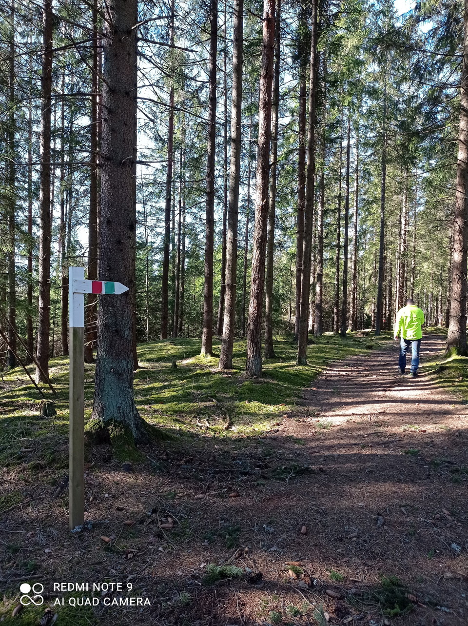
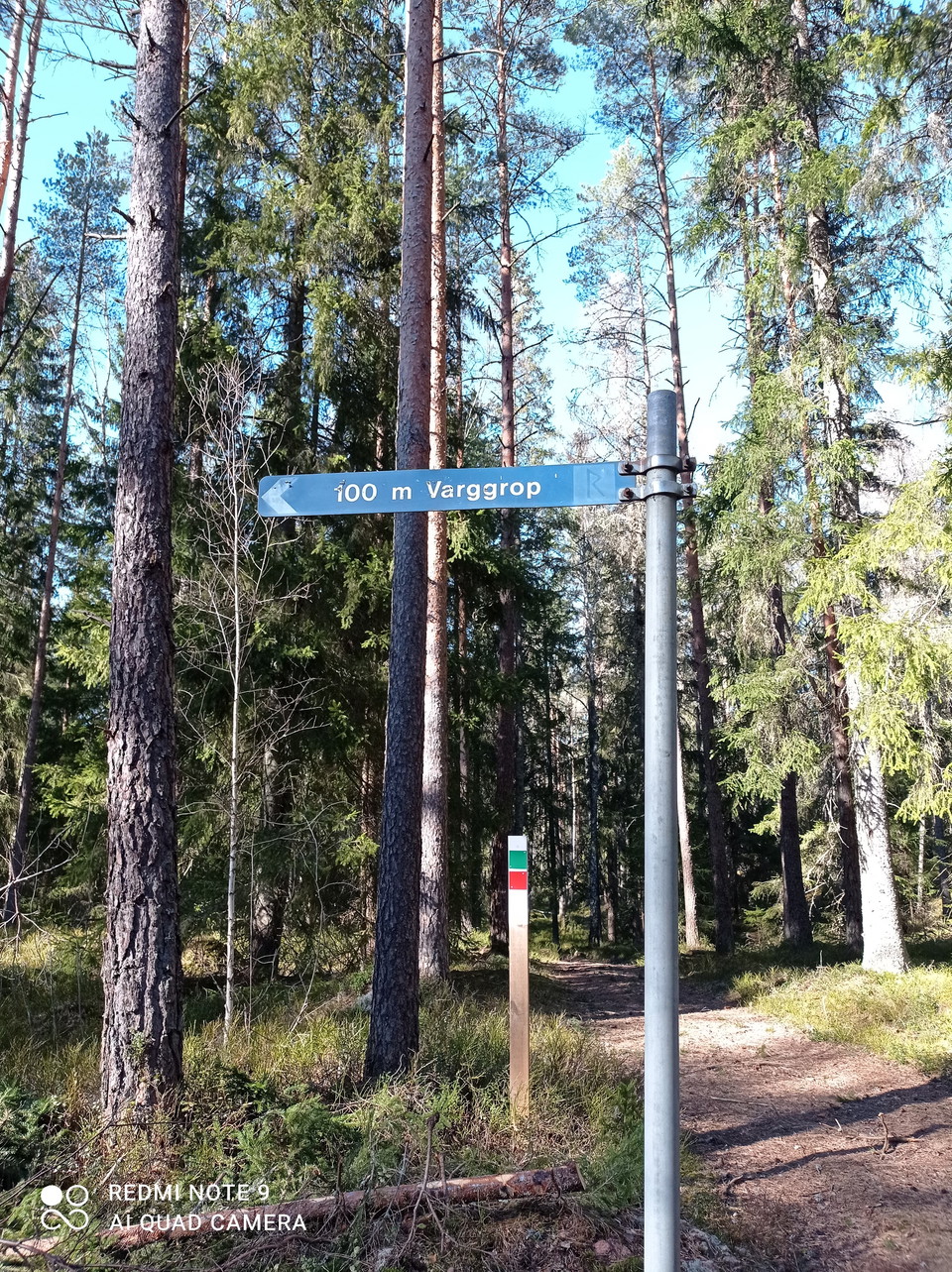
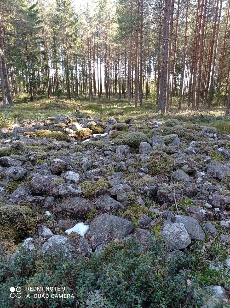
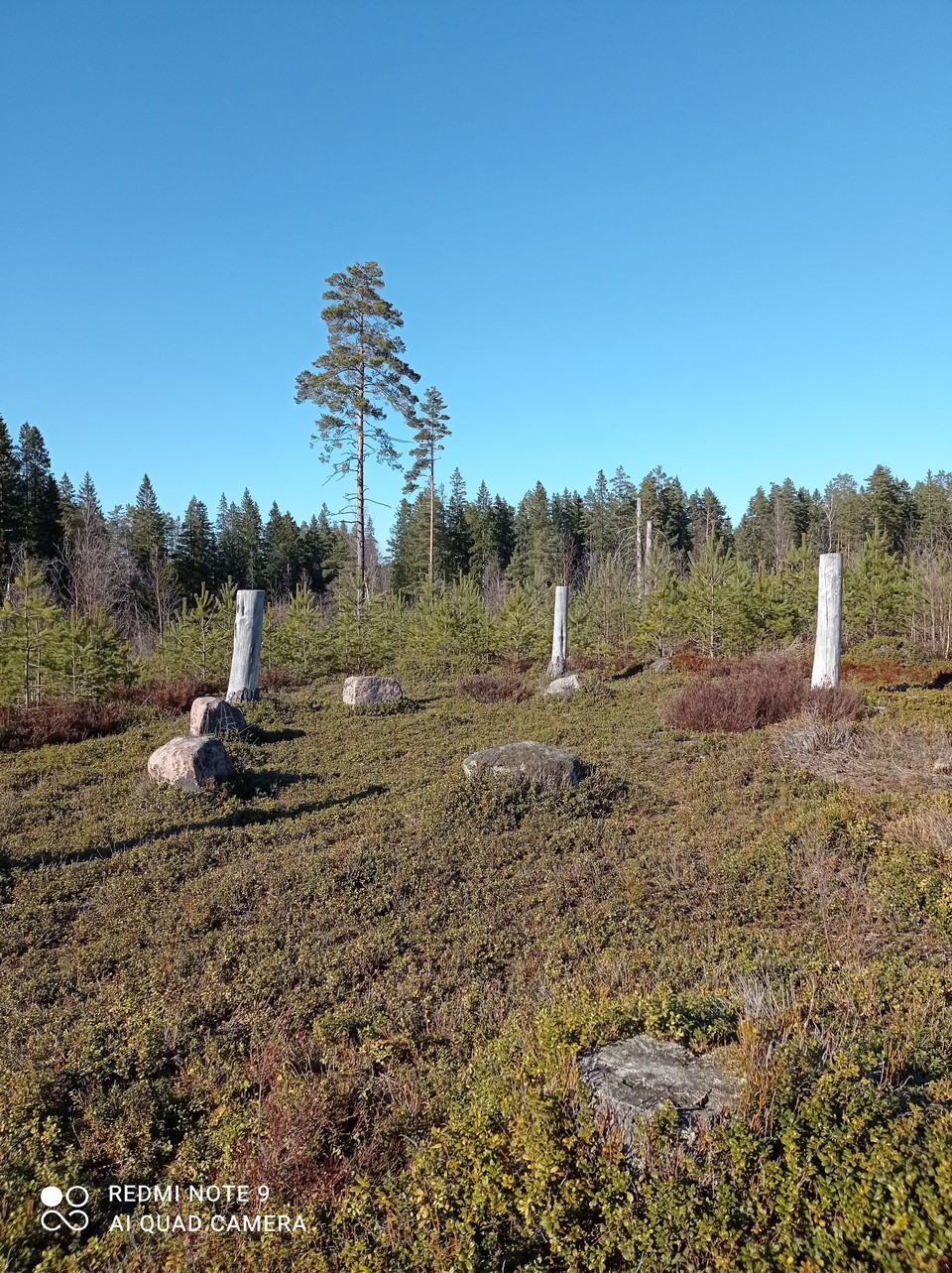
At the top of Gislaved municipality you will find Fornminnesleden. It consists of two trails of about 3 km and 7 km and is rich in ancient remains. Along the trail, which mostly runs through beautiful woodland, you can see burial grounds and burial cairns from the Iron and Bronze Ages. There are also remains of a wolf pit and a kolakja. If you're lucky, you might even come across one of the riding school's horses, which like to go for a ride in the forests in the area. There are information boards at the parking lot opposite Öreryd church. At the end of the trail there is a rest area with tables and benches.

Length: 3 km or 7 km

Marking: Red (3 km), green (7 km)

Surface: Forest path, gravel road, paved road. Please note that the trail is unfortunately not suitable for prams and mobility aids.

Difficulty: Easy/Medium

Weersvoorspelling (om 12.00 uur)

Laden…

Kom hier met het openbaar vervoer

Activiteiten en faciliteiten

  • Hiking

Toegankelijkheid

  • Nabij parkeerplaats

Contact

Adres

turism@entergislaved.se

E-mailadres

Emma Sjöberg

Ik ben hier geweest 2

Ik wil hierheen 7

Beoordelingen

—

0 beoordelingen

van 5 sterren

5 :
0.0%
4 :
0.0%
3 :
0.0%
2 :
0.0%
1 :
0.0%

Vragen en antwoorden

Stel een vraag aan andere Naturkartan gebruikers.

Afbeeldingen van gebruikers

Deel je foto’s van deze plek!

Naturkartan

Open dit in de app